A very warm and dry week
Temps 10-20 degrees above normal

Go Deeper.
Create an account or log in to save stories.
Like this?
Thanks for liking this story! We have added it to a list of your favorite stories.


After a cool weekend, summer is back. Highs will be well above normal all week. We’ll also be remarkably dry with plenty of sunshine.
July temperatures, dry conditions all week
After the coolest temperatures since May this weekend, summer is back in full force. Highs will be in the 80s for most Monday with plenty of sunshine. We’ll have just a few afternoon high clouds.

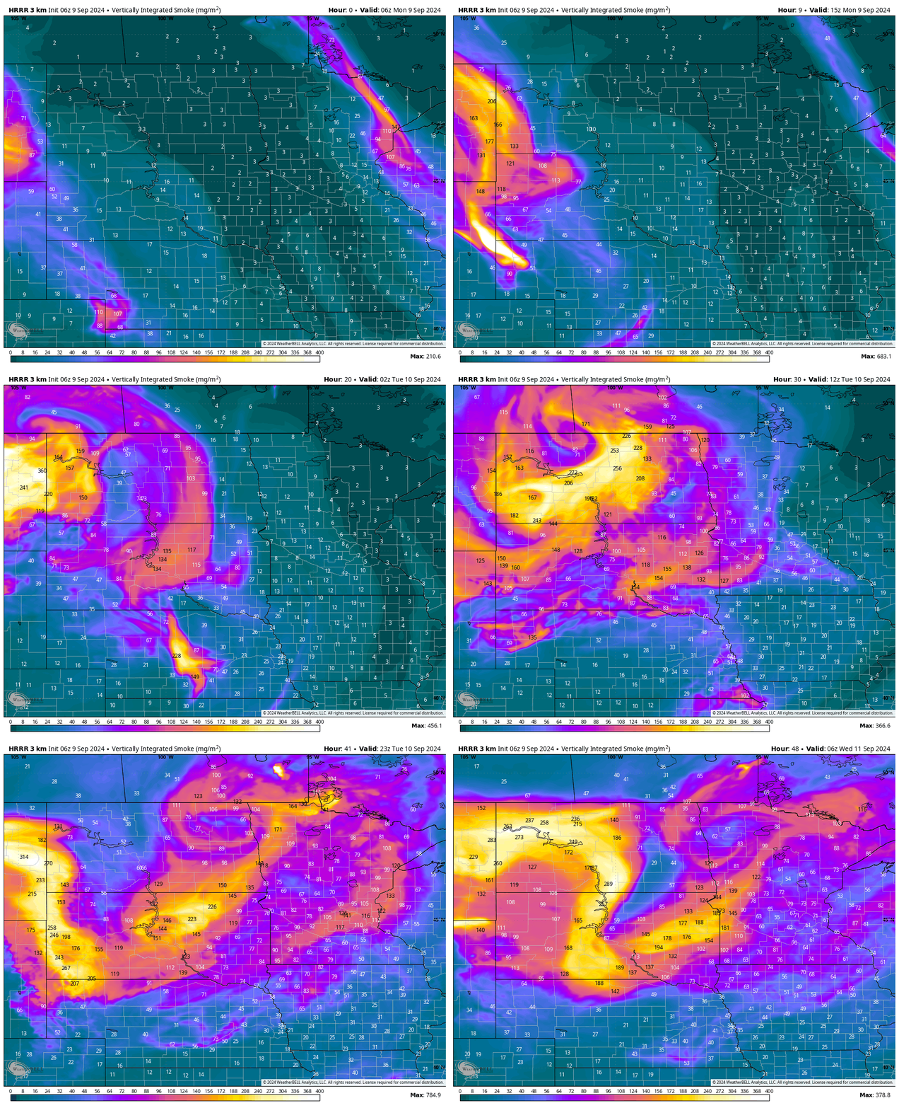
One little wrench that could cost high temperatures a degree or two is elevated wildfire smoke. We expect surface air quality to remain good or moderate but aloft we do have plumes of smoke. Some of that is visible early Monday again.

Forecast models for smoke shows occasional plumes of elevated smoke moving through the region at least through Tuesday:
Turn Up Your Support
MPR News helps you turn down the noise and build shared understanding. Turn up your support for this public resource and keep trusted journalism accessible to all.
Temperatures will be even warmer midweek with locations in southwestern and west-central Minnesota likely reaching 90 degrees. Wednesday and Thursday look to be the warmest days.

Readings will run 10 to 20 degrees above normal. The normal highs this week range from 68 north to 74 south.

Don’t look for any rainfall this week either. We’ll be remarkably dry with the next chance of any rain and thunder coming this weekend.

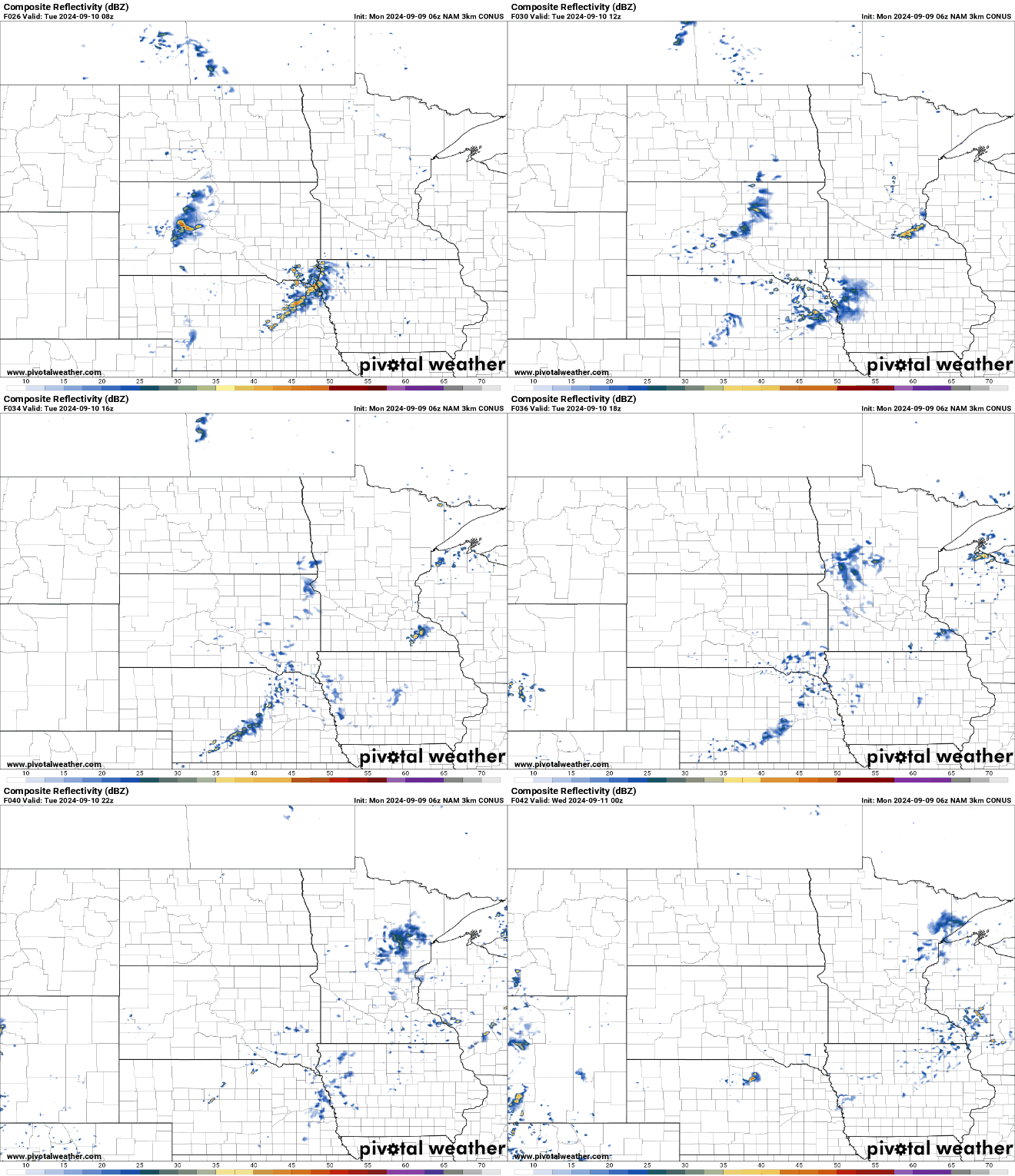
There is a chance of an isolated shower or two late Monday night and Tuesday mainly for just south-central and southeastern Minnesota. Otherwise, don’t expect much of anything until perhaps the weekend, although even that chance seems to be dwindling.
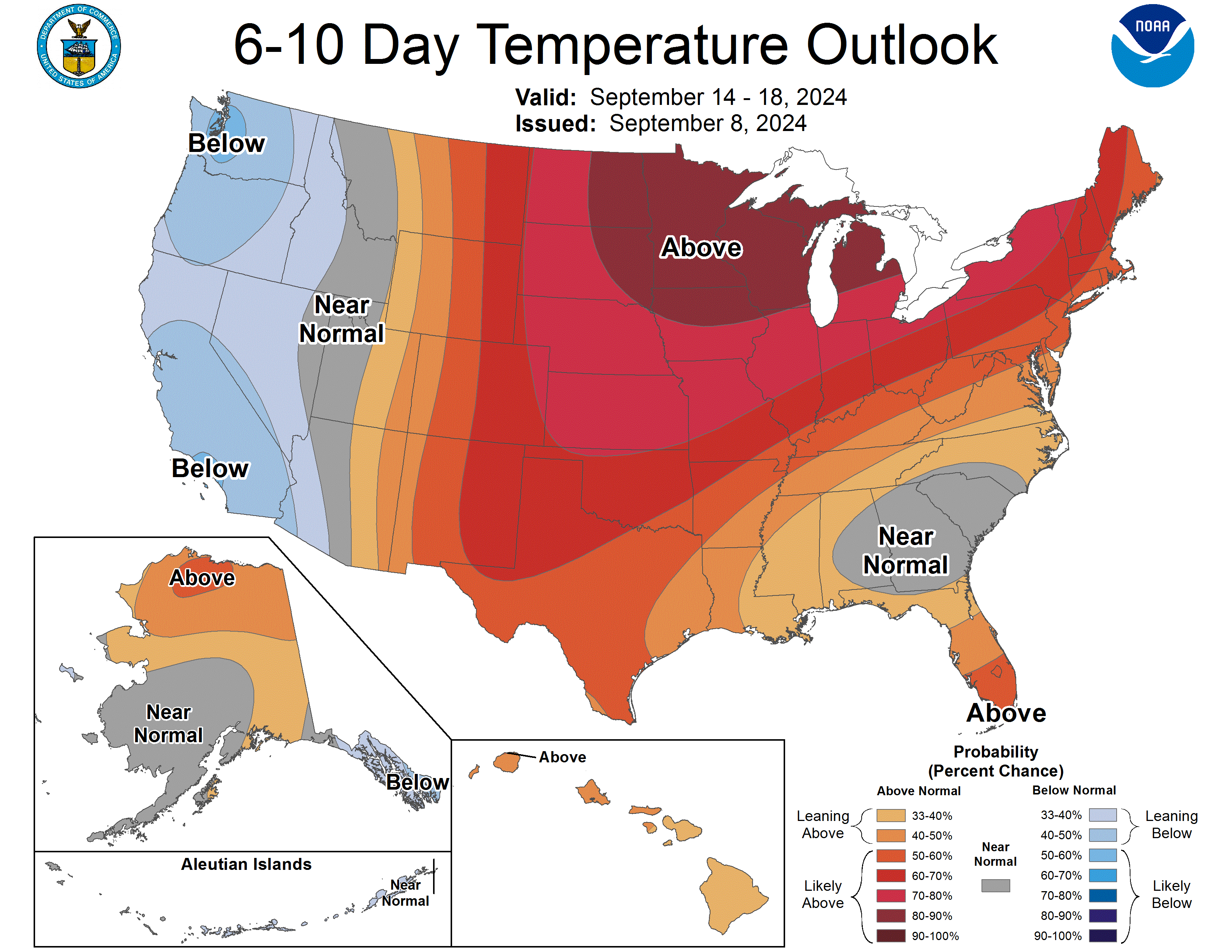
The warm weather has no end in sight, which is about 10 days to two weeks in the weather forecasting world. The six to 10-day and eight to 14-day temperature outlooks call for continued high chances of warmer-than-normal temperatures.