Pacific air brings above-average temperatures this week
Last week of January brings big thaw with highs in the 30s and 40s

Go Deeper.
Create an account or log in to save stories.
Like this?
Thanks for liking this story! We have added it to a list of your favorite stories.


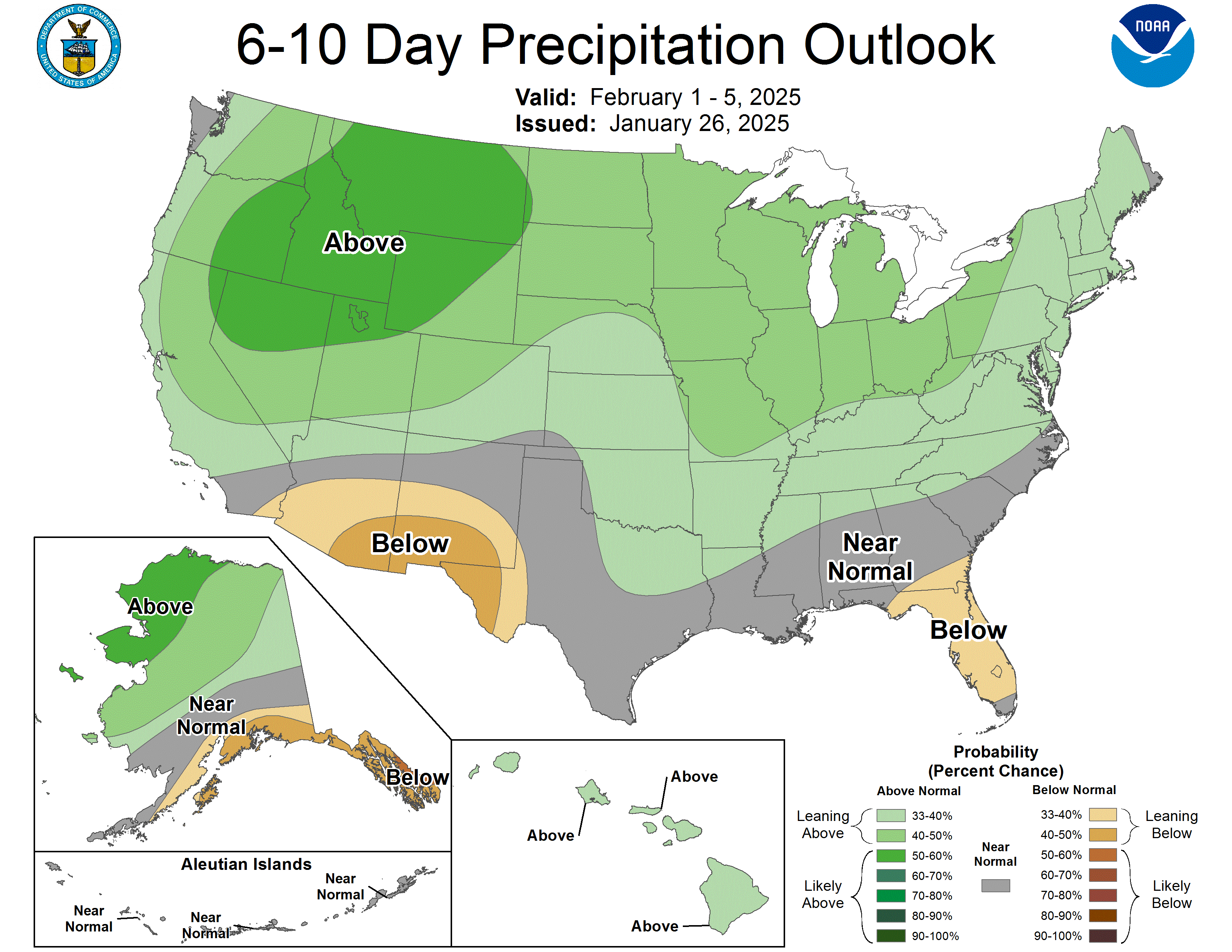
A streak of above-freezing temperatures has begun, with Sunday’s highs reaching the lower to mid-30s. Warmer Pacific air is pushing into the Upper Midwest, bringing more mild temperatures this week in the 30s and 40s. Any chance of precipitation remains elusive for now.
Mild overnight lows
Southwest winds at 5-15 mph will help keep temperatures mild overnight, with lows dipping into the 20s, with teens to the north.

Turn Up Your Support
MPR News helps you turn down the noise and build shared understanding. Turn up your support for this public resource and keep trusted journalism accessible to all.
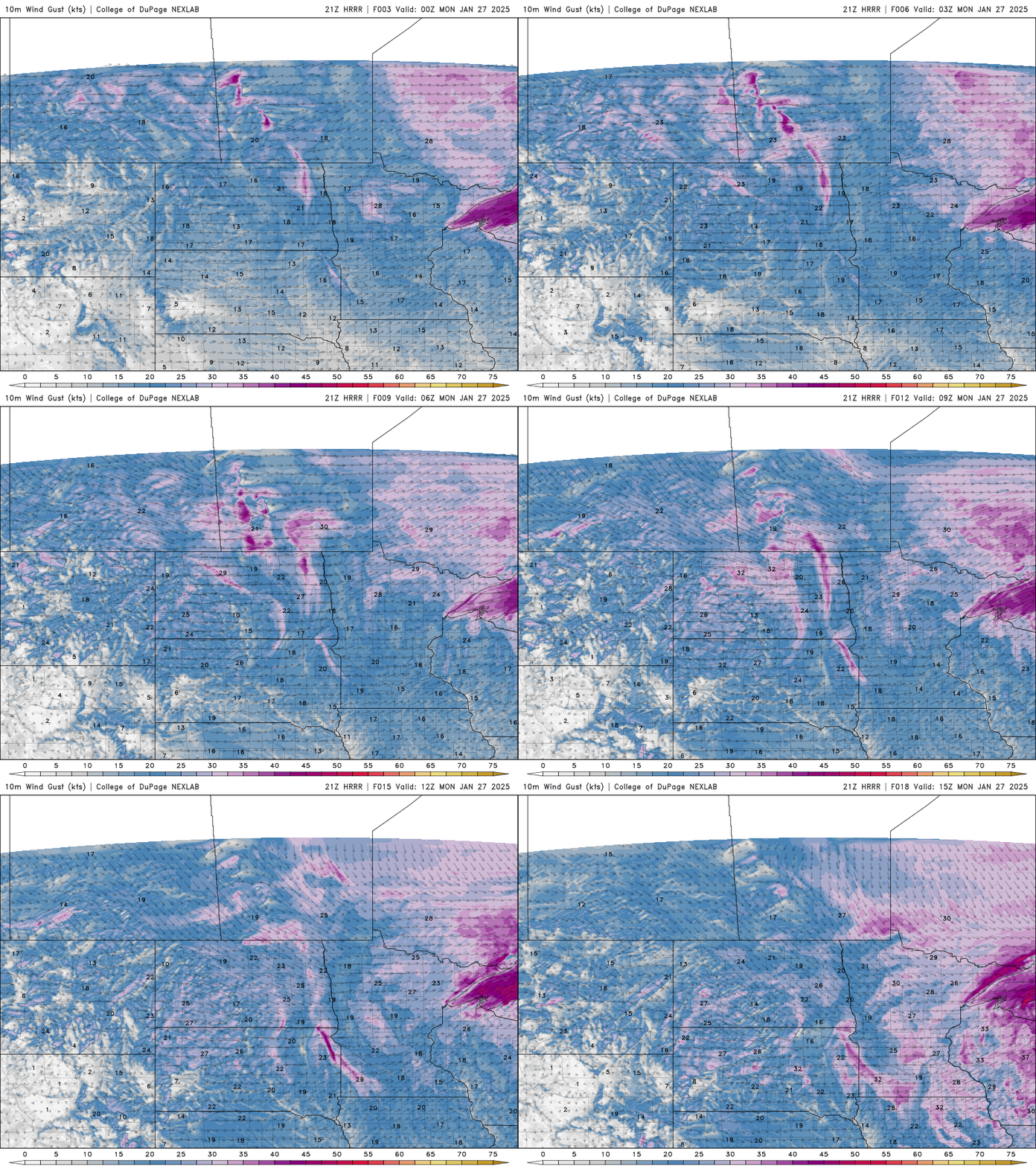
Monday could bring some flurries or light snow to the area with partly cloudy skies. High temperatures climb into the upper 30s with low 40s possible for southern Minnesota.

Warmer Pacific air will drive our temperatures into the 30s and 40s this week.
Late Tuesday into Wednesday, a brief clipper system will move through, bringing increased cloud cover and shifting winds to the northwest across central to southern Minnesota. Snow totals will vary, with less than an inch expected just north of Interstate 94, and up to 5 inches along the North Shore.

If Wednesday’s highs stay above 32 degrees, the January thaw will continue, with temperatures expected to hover around freezing.
Temperatures through the end of the week will be 15 to 20 degrees above our seasonal average, which is currently 24 degrees. There won’t be much of any snow cover left after this warm-up.
There’s a glimmer of hope in the forecast models for some snow into early February. We’ll have to wait and see, holding our breath for the possibility.