
Cold front drops temperatures for the weekend
Rain and snow showers possible Friday

Go Deeper.
Create an account or log in to save stories.
Like this?
Thanks for liking this story! We have added it to a list of your favorite stories.


We’ll be warmer in southeastern Minnesota ahead of a cold front that will drop temperatures and create some rain and snow showers later Friday. The weekend looks dry, bright and cool.
Dry, bright, cool weekend
We’ll be briefly warmer for the Twin Cities and southeastern Minnesota Friday afternoon ahead of a cold front sweeping through the region later Friday. Look for a mix of clouds and sun with increasing afternoon clouds.

The cold front will touch off some rain and snow showers Friday, especially for western and northern Minnesota and potentially eastern Minnesota Friday evening and overnight.
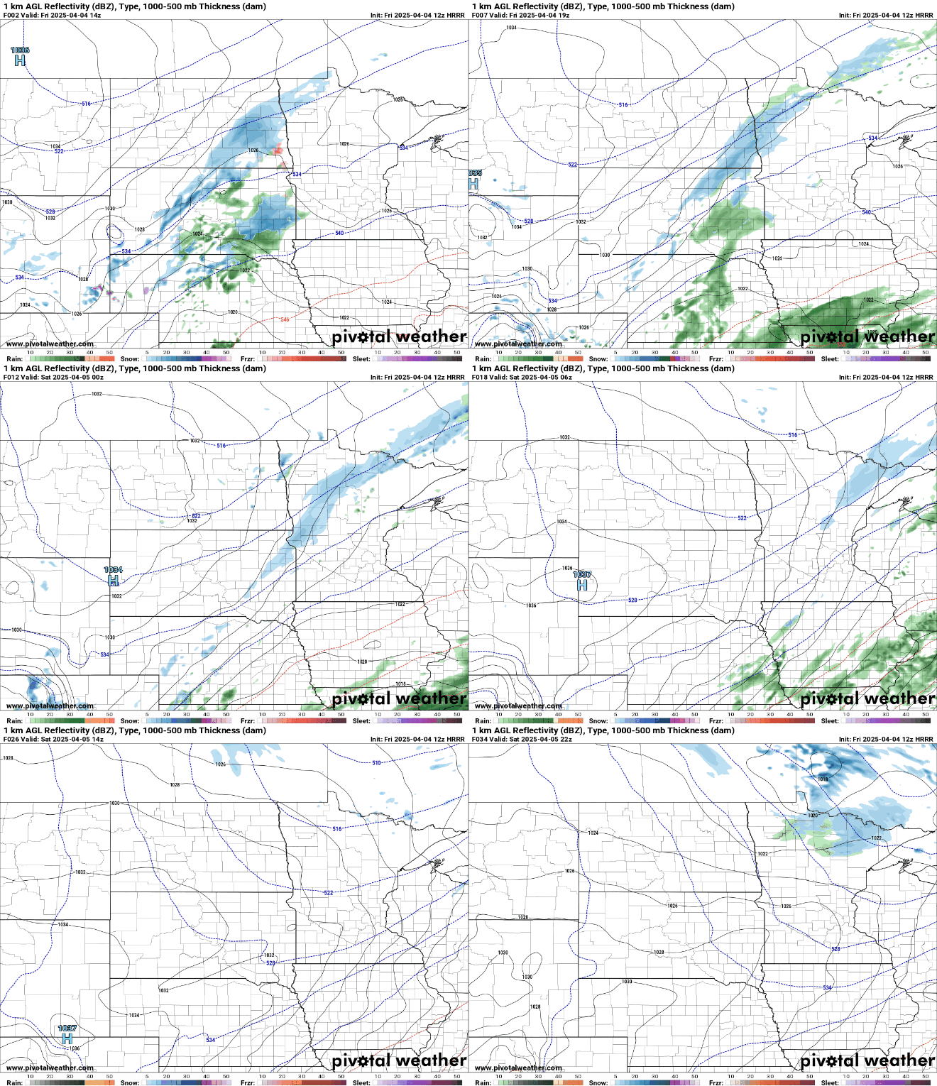
Some slushy accumulations are possible in northern and western Minnesota, but nothing significant is expected.

Behind the front, cool high pressure settles in for Saturday. We’ll have plenty of sunshine but highs will be in the 40s south and 30s north, a little bit below normal.

Sunday will be briefly warmer before a brief chunk of even colder air moves in for Monday. Highs for most of Minnesota Monday will be in the 30s.

Warmer temperatures arrive midweek with 60s returning to southern Minnesota by Wednesday or Thursday into next weekend.

Turn Up Your Support
MPR News helps you turn down the noise and build shared understanding. Turn up your support for this public resource and keep trusted journalism accessible to all.

