
Cloud cover and rain chances move in Saturday night
Large severe weather risk for Monday

Go Deeper.
Create an account or log in to save stories.
Like this?
Thanks for liking this story! We have added it to a list of your favorite stories.


Clouds will start moving in from the west on Saturday night, as temperatures drop into the 40s. Scattered showers and thunderstorms are possible overnight into early Sunday, with temperatures rising into the 60s. Monday is expected to be turbulent, with a significant risk of severe weather.
Cloudy with a chance of rain
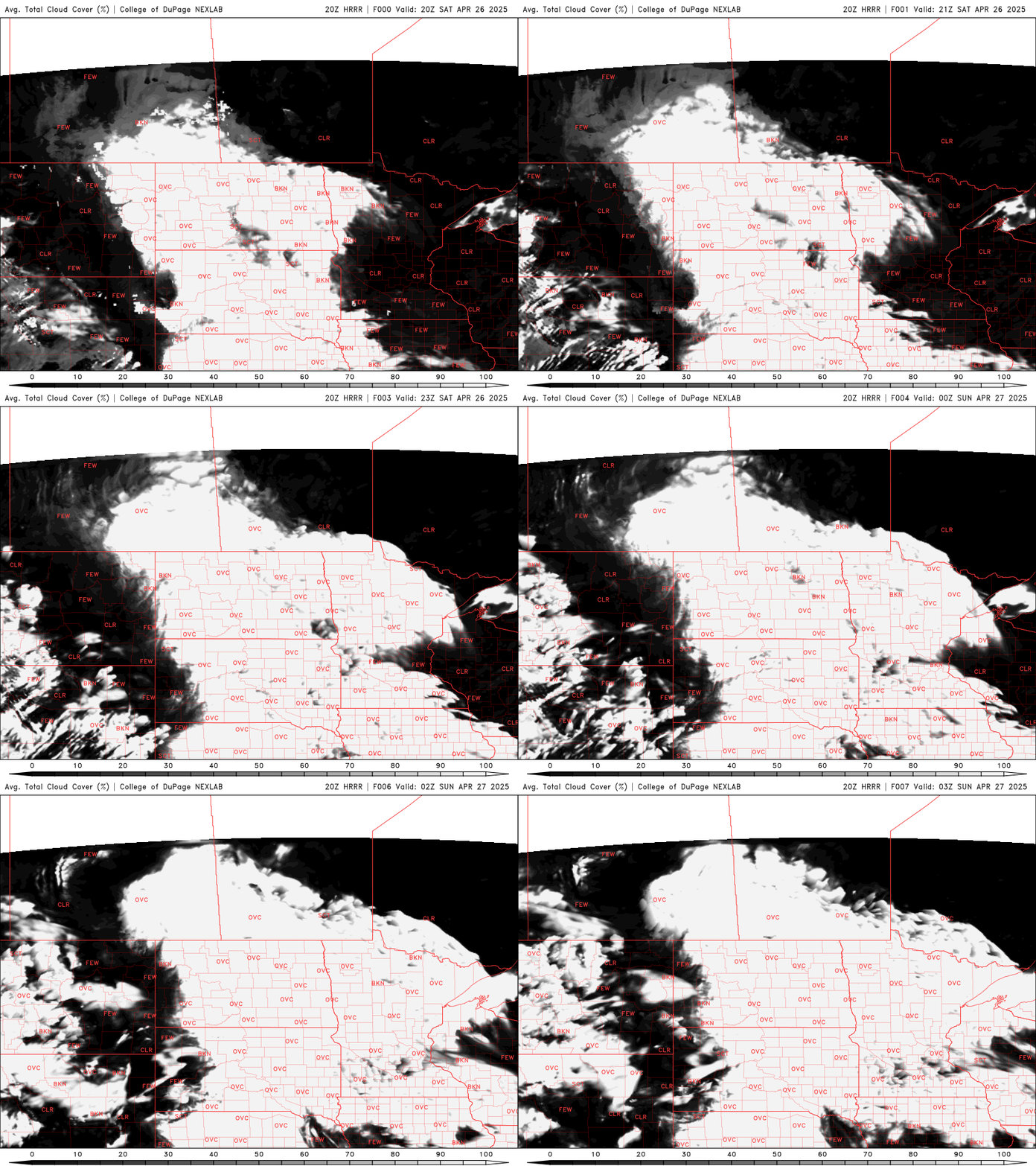
Mainly clear skies will give way to cloud cover for Saturday night as a minor disturbance passes through the area.
Our low temperatures will drop into the upper 40s with mid-30s showing up along the North Shore.

There is a chance for non-severe showers and thunderstorms overnight into early Sunday morning.
Turn Up Your Support
MPR News helps you turn down the noise and build shared understanding. Turn up your support for this public resource and keep trusted journalism accessible to all.
Sunday will stay mostly dry, with temperatures reaching the 60s in many areas, while northern Minnesota sees slightly cooler temps in the 50s.

Moderate risk for severe on Monday
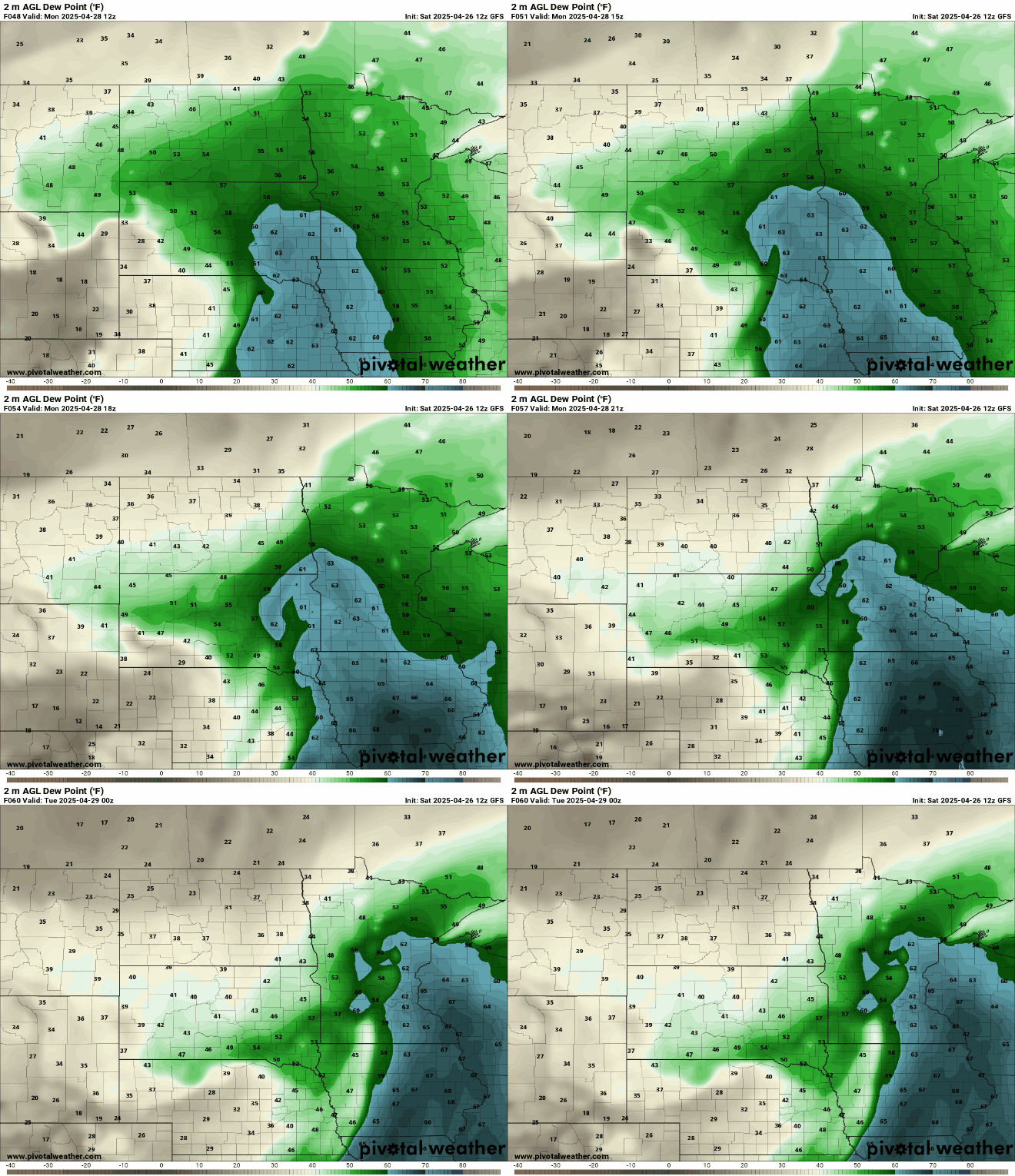
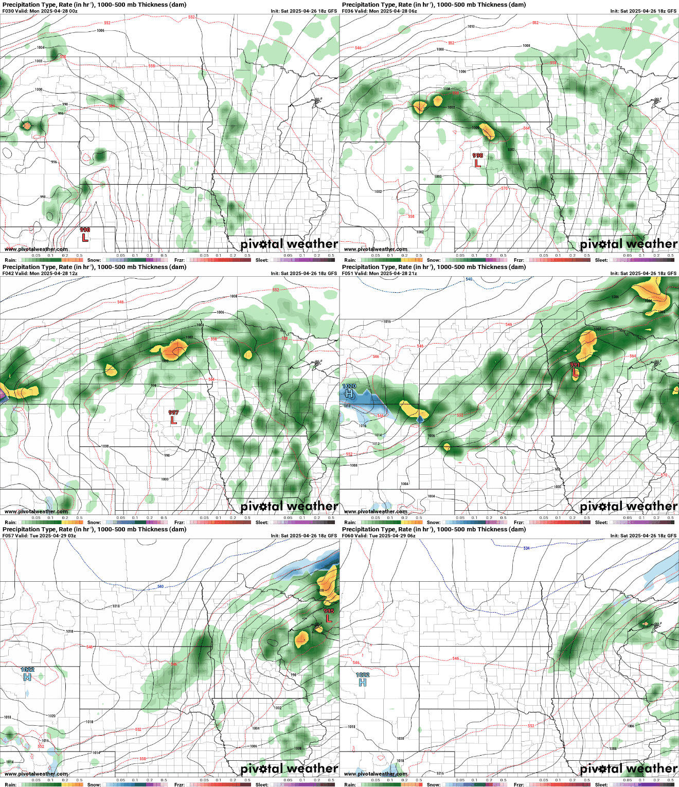
A potent low pressure system will impact the forecast area Sunday night through Monday night. Moisture from the Gulf will surge north, bringing dew points in the 50s and 60s, making it feel quite humid for early Spring.
Monday is expected to bring the warmest temperatures of the year so far, with highs reaching the 70s and even 80s in southwestern Minnesota.

The Storm Prediction Center has issued a moderate risk (level 4 out of 5) for the Twin Cities and areas to the southeast, while a large portion of central and western Minnesota is under an enhanced risk (level 3 out of 5) for severe weather.

A major outbreak of severe weather is likely across portions of the Upper Midwest. Sunday night into early Monday morning, storms will develop with the main threat of hail and damaging winds.
By mid-afternoon, thunderstorms are expected to rapidly develop across central and eastern Minnesota. Any storms that form could bring large hail, damaging winds, and the possibility of strong to intense tornadoes. The primary severe threat will occur from late afternoon into the evening, with some ongoing storms potentially lasting into the overnight hours.
Stay tuned to the Updraft blogs and MPR News for the latest updates on the weather.

