
Cold lingers, rain returns and breezy winds continue
Temperatures 20-30 degrees below average

Go Deeper.
Create an account or log in to save stories.
Like this?
Thanks for liking this story! We have added it to a list of your favorite stories.


Our cold stretch of weather shows no signs of letting up, with below-average temperatures in the 40s and 50s continuing. Soaking rain is set to move in Monday night, lasting through Tuesday, accompanied by breezy easterly winds.
Cold, breezy and wet
Expect blustery, cloudy conditions to kick off the work week, with soaking rain showers on the way.
A low-pressure system currently moving through South Dakota will bring showers and thunderstorms to the southern part of the state by Monday night. These showers are expected to reach southeastern Minnesota and the Twin Cities around 7 p.m.
As our low-pressure system gradually moves out, it will bring much-needed rain, with totals ranging from 1 inch to more than 3 inches across central and southern Minnesota. Expect rain showers to continue throughout the day on Tuesday.
Turn Up Your Support
MPR News helps you turn down the noise and build shared understanding. Turn up your support for this public resource and keep trusted journalism accessible to all.

Low temperatures Monday night will dip into the lower to mid-40s, with cooler upper 30s expected for northern Minnesota.

Easterly winds will persist as a strong high-pressure system sits to our north near Hudson Bay, while a low-pressure system lingers in the Dakotas. Winds will persist from Monday night into Tuesday, gusting between 30 and 40 mph.
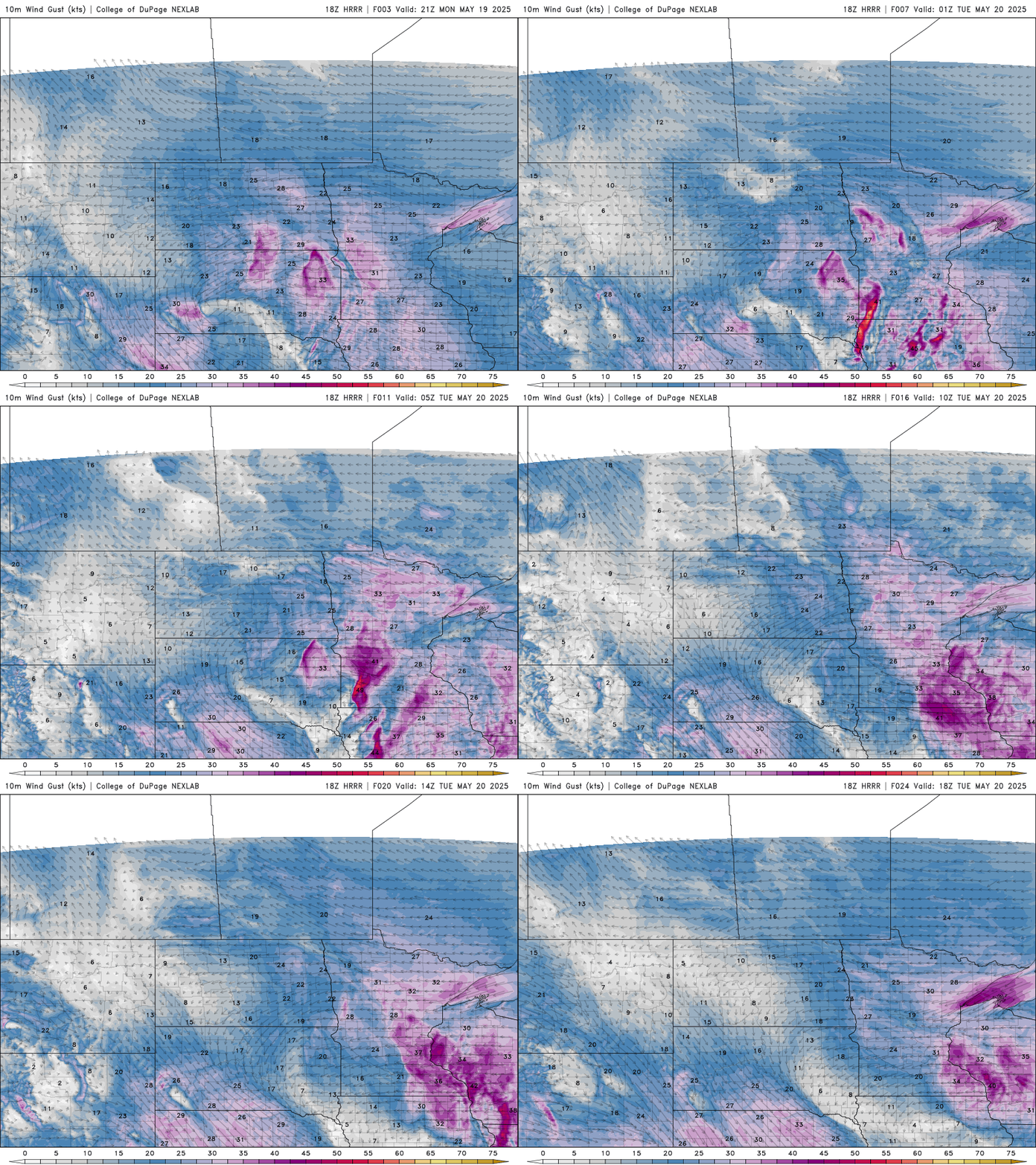
Wind advisories remain in effect for parts of the state due to the gusty winds.

Expect cooler temperatures on Tuesday with persistent cloud cover and widespread rain showers across central and southern Minnesota, where highs will reach the upper 40s to low 50s.
Northern Minnesota will experience partial sunshine and warmer temperatures, with highs in the mid to upper 50s.

Temperature roller coaster
Our temperature roller coaster over the past two weeks has taken us from record highs in the 90s to chilly morning lows in the 30s and 40s.

A slow-warming trend will bring seasonal temperatures back to the forecast for the second half of the workweek and into the upcoming Memorial Day weekend.

