
Scattered showers taper off Wednesday with sun Thursday
Shaping up to be a decent Memorial Day weekend

Go Deeper.
Create an account or log in to save stories.
Like this?
Thanks for liking this story! We have added it to a list of your favorite stories.


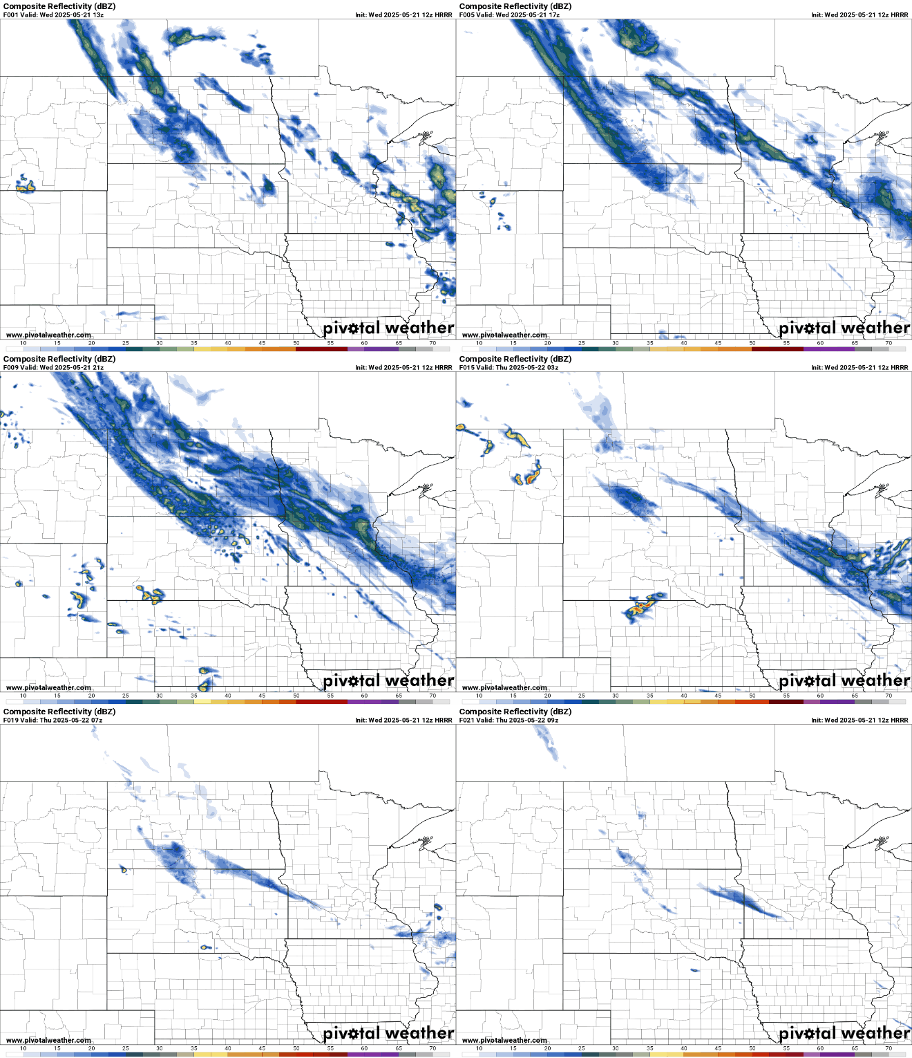
Showers continue Wednesday but will become more scattered and generally lighter than in the past 24 hours. Sunshine should pop back out Thursday, warming things up.
Showers Wednesday, warm sunshine Thursday
The rainfall has really added up over the last couple of days in central and southern Minnesota. A large area of 2 to 3 inches of rain has fallen across south-central and east-central Minnesota since late Monday.

Across the Twin Cities metro, most rainfall amounts have also been in the 2 to 3-inch range. This erases the deficits we had developed with the hot, dry weather the first half of this month.

Our soggy system lingers Wednesday with showers becoming more scattered and generally lighter. Those rain showers should taper off completely Wednesday evening into Thursday.
Turn Up Your Support
MPR News helps you turn down the noise and build shared understanding. Turn up your support for this public resource and keep trusted journalism accessible to all.
Temperatures will be cool again in central and southern Minnesota with the rain and clouds, mostly in the upper 50s and low 50s. Northern Minnesota will see highs in the low 60s thanks to the dry weather and some sun there.

Clouds break up overnight Wednesday into Thursday morning. The clearing skies will warm things up the next couple days but also lead to a chilly Wednesday night.
It’ll be cold overnight Wednesday as a frost advisory is in effect for northeastern Minnesota with lows falling into the 30s and 40s across the state.


We’ll have partly cloudy skies Thursday and Friday. That will allow temperatures to pop back up into the 60s across the state.

The Memorial Day weekend looks mainly pleasant, just a little on the cool side compared to normal, with highs mostly in the 60s. There will be the chance of an isolated or spotty shower by late Sunday and Memorial Day.

There are signs of more summerlike warmth building back in for the middle and later part of next week. We could see 80s if not 90 degrees again for some.

