
Spotty showers Tuesday as high pressure moves east
Sunshine and heat build in by the end of the week

Go Deeper.
Create an account or log in to save stories.
Like this?
Thanks for liking this story! We have added it to a list of your favorite stories.


After abundant sun the last couple of days, high pressure is departing and allowing for some spotty showers and thunder Tuesday with a lingering chance Wednesday.
Spotty showers Tuesday; brighter, warmer later this week
As our high pressure moves to the east, an upper-level disturbance is moving into Minnesota creating some spotty showers and the chance of a couple thundershowers Tuesday afternoon. In between showers, we’ll have a mix of sun and clouds generating instability.
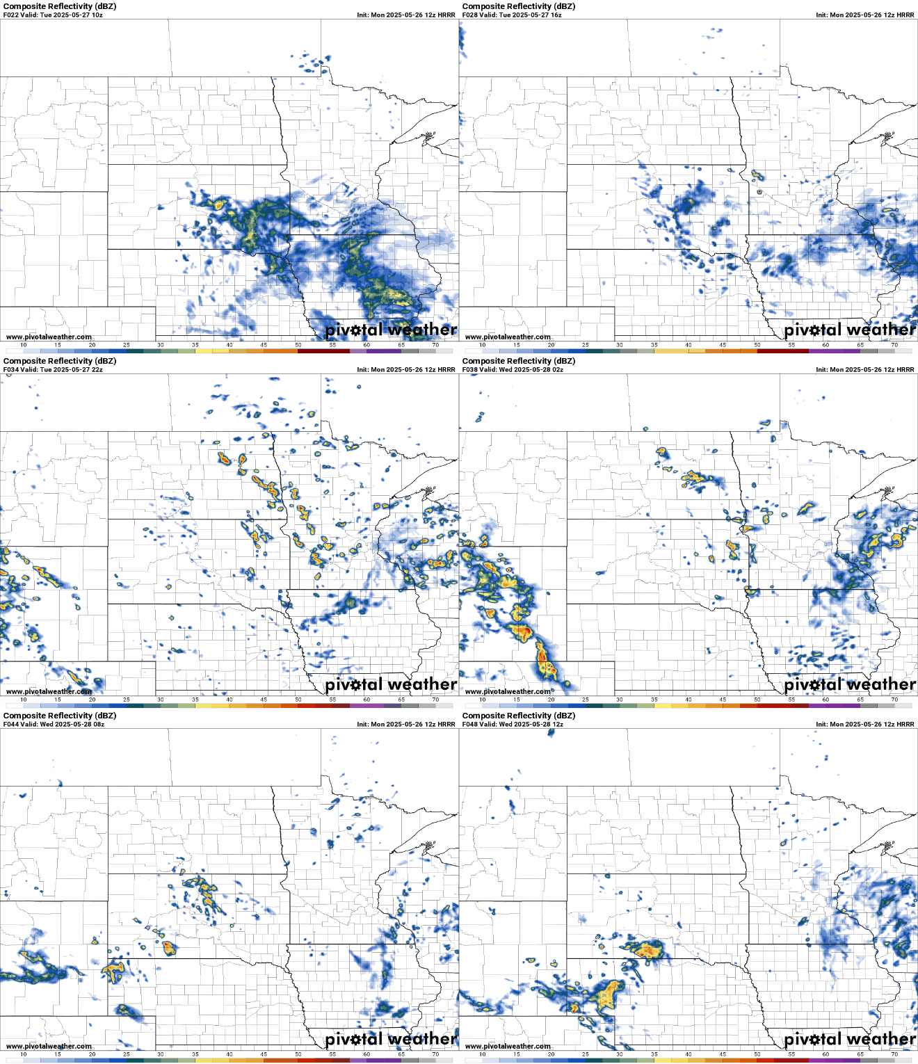
Afternoon highs Tuesday will be cooler with the increased cloud cover and spotty showers. Highs will range from the upper 60s south to low 70s north where there will be a little more sun and drier conditions.

We’ll have a lingering chance of isolated showers and cloud cover Wednesday. Temperatures will be similar — in the 60s and low 70s.
Total rainfall amounts will generally be light, less than a quarter of an inch for most of us Tuesday and Wednesday.

An upper-level ridge of high pressure builds in for later this week into the weekend. That will bring a return to above-normal temperatures and mostly dry, sunny weather.
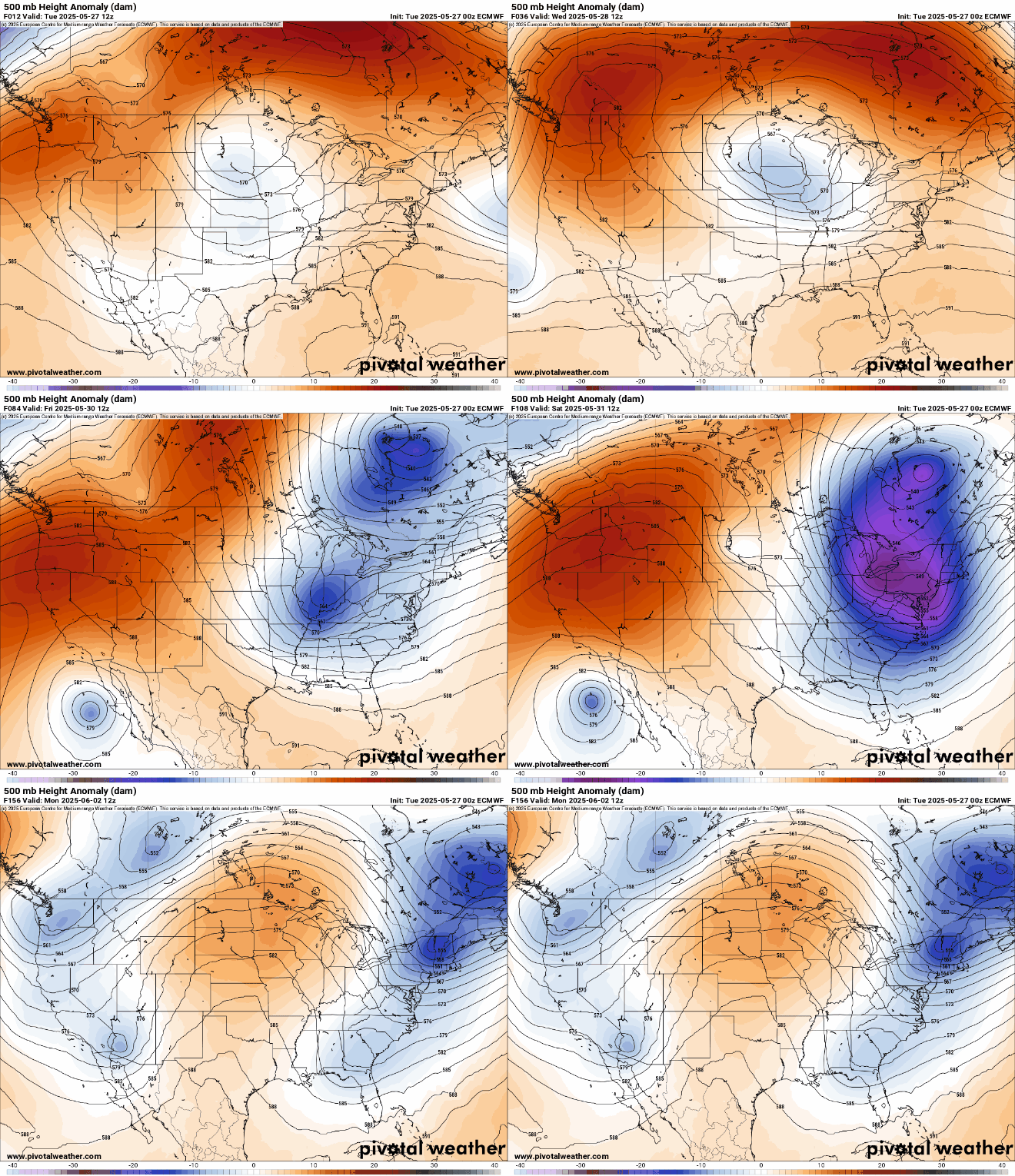
Forecast high temperatures by Friday will be well into the 80s for most with 90-degree readings possible in western Minnesota. Temperatures will remain at least 10 degrees above normal into the weekend and early next week.

Turn Up Your Support
MPR News helps you turn down the noise and build shared understanding. Turn up your support for this public resource and keep trusted journalism accessible to all.

