Decreasing clouds Thursday with a few showers, then much warmer
A string of 80-degree temperatures starts Friday
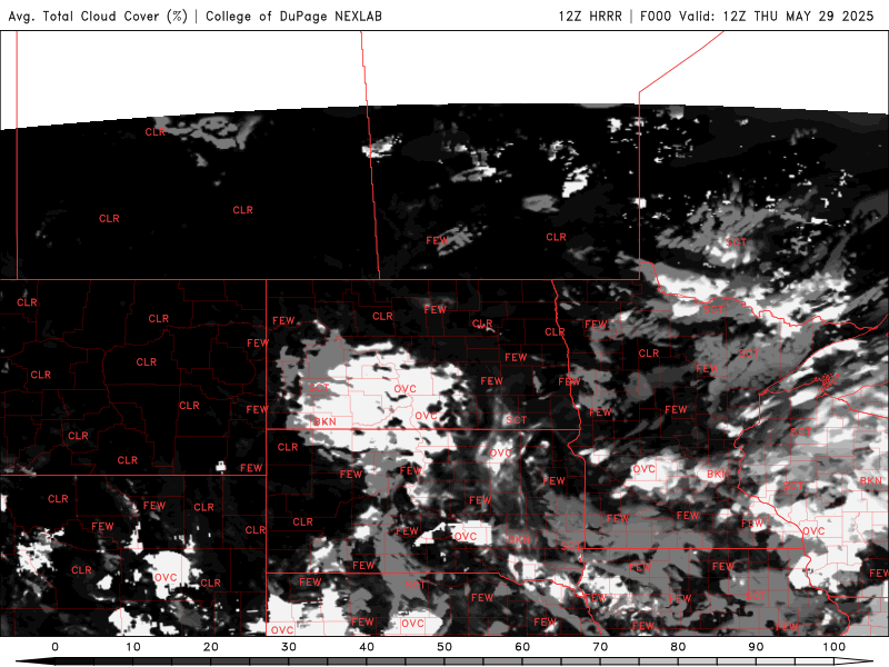
Go Deeper.
Create an account or log in to save stories.
Like this?
Thanks for liking this story! We have added it to a list of your favorite stories.
We have lingering instability yet Thursday for southern Minnesota where there will still be a few showers. Clouds will decrease and things heat up tomorrow into the weekend.
Few showers still possible Thursday followed by summerlike temperatures
Our recent system just can’t quite quit Minnesota yet. With lingering instability, we’ll see a few showers in the southern half of the state. Clouds will continue to break up and decrease, so it will be brighter overall for those of us who’ve been locked under the clouds.

Temperatures will be warmer statewide thanks to more sunshine as well. Highs will be in the 70s for most of the state Thursday afternoon.

Northeast Minnesota will also have reduced air quality Thursday and Friday due to wildfire smoke blowing in from Canada. There is a lot of smoke from numerous large fires throughout Canada blowing in on upper level and surface winds thanks to high pressure over Saskatchewan:
Turn Up Your Support
MPR News helps you turn down the noise and build shared understanding. Turn up your support for this public resource and keep trusted journalism accessible to all.

Air quality alerts are in effect for northeast Minnesota Thursday. Check the latest air quality conditions, alerts and forecasts here:
Unfortunately, we may be in for on and off smoky skies similar to some recent summers with the amount of fires burning in Canada due to warm, dry conditions there. Here’s a forecast model simulating where wildfire smoke will blow over the next 48 hours:

Friday will finally be more stable and that means sunnier skies and even warmer temperatures. Highs will be in the 80s for most of the state.

The peak of the heat looks to be Sunday or Monday when temperatures could reach 90 degrees for much of the state.

We’re in for a stormier pattern then Tuesday and Wednesday as dew points increase and the upper level high pressure ridge starts to shift east.