
Drought, abnormally dry conditions still grip Northern Minnesota
Weather pattern shift offers hope for parched areas

Go Deeper.
Create an account or log in to save stories.
Like this?
Thanks for liking this story! We have added it to a list of your favorite stories.


Dry conditions remain firmly in place across northern Minnesota, according to this week’s U.S. Drought Monitor report. A changing weather pattern could bring much-needed rainfall to those drought-stricken parts of the state.
Moderate drought continues
The latest U.S. Drought Monitor report continues to highlight persistent dryness across the northern portion of the state. Areas north of Interstate 94 remain abnormally dry, with much of Kittson, Roseau, Hubbard, Wadena, Cass and Itasca counties considered in moderate drought.
Looking back at precipitation totals over the past 30 days, the current drought conditions closely reflect the limited rainfall the northern portions of the state have received.

Central and southern Minnesota received 2 to as much as 6 to 8 inches of rainfall, while northern Minnesota recorded only about one-half inch to 2 inches.
Turn Up Your Support
MPR News helps you turn down the noise and build shared understanding. Turn up your support for this public resource and keep trusted journalism accessible to all.
Change in weather pattern brings hope
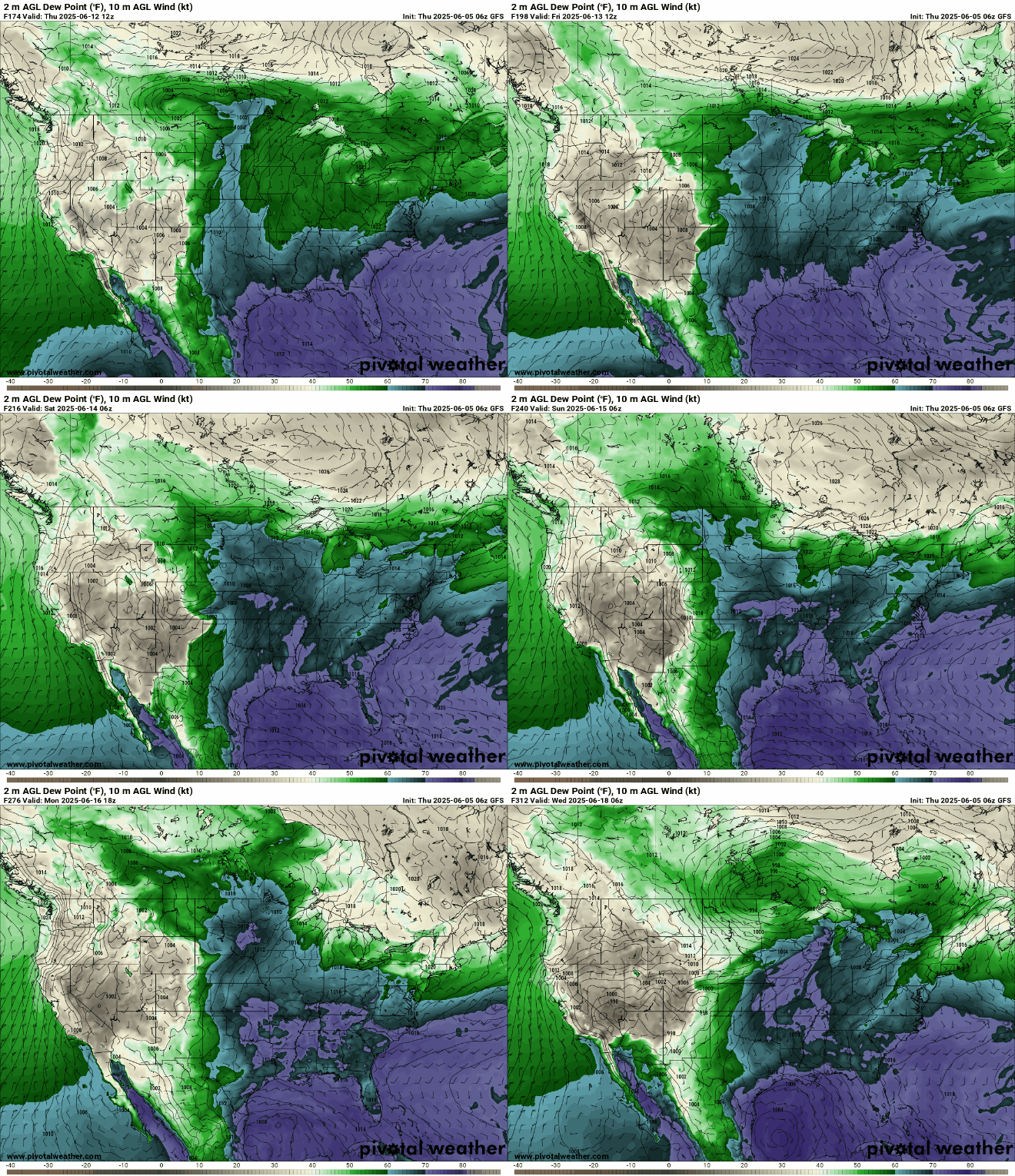
A shift in the upper-level air pattern is expected to bring more active weather and increased chances of rainfall across the region. Moisture will be pulled from the Pacific into the Upper Midwest, potentially delivering much-needed rain to northern Minnesota.

Another sign of increased precipitation chances comes from the National Oceanic and Atmospheric Administration Climate Prediction Center, which highlights a risk of heavy rainfall for June 12–18.

A Bermuda high-pressure system will bring increased moisture from the Gulf, leading to the increased risk of heavy precipitation.
Only time will tell if this hopeful forecast delivers the rain we need.

