
Breezy and slightly cooler with showers in the mix
Air quality alert continues for state

Go Deeper.
Create an account or log in to save stories.
Like this?
Thanks for liking this story! We have added it to a list of your favorite stories.


Slightly cooler temperatures and breezy winds settle in today, with showers possible throughout the area. Meanwhile, an air quality alert remains in effect due to lingering wildfire smoke.
Air quality alert
Wildfire smoke will once again drift into the state, prompting the Minnesota Pollution Control Agency to issue an air quality alert in effect through 11 p.m. Sunday.
Check the latest air quality conditions, alerts and forecast here:
MPCA website Current air quality conditions
MPCA website: Air quality forecasts
Dip in temperatures
The departing cold front from Saturday night has brought slightly cooler temperatures to the region. Highs on Sunday will range from the 60s to low 70s, with some cooler upper 50s possible in northwest Minnesota. Winds will be breezy out of the west at 10 to 20 mph.

Thicker cloud cover remains over northern Minnesota today as a low-pressure system moves through southern Manitoba. The cloud shield is expected to drift across the state throughout the day while the low continues its path near the border.
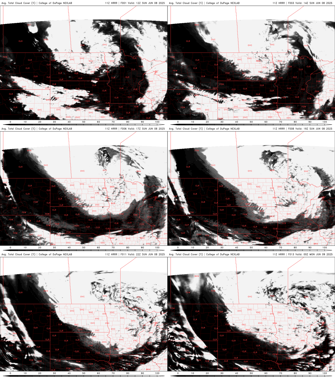
More widespread showers will develop near the low, with isolated diurnal showers possible again for Sunday.
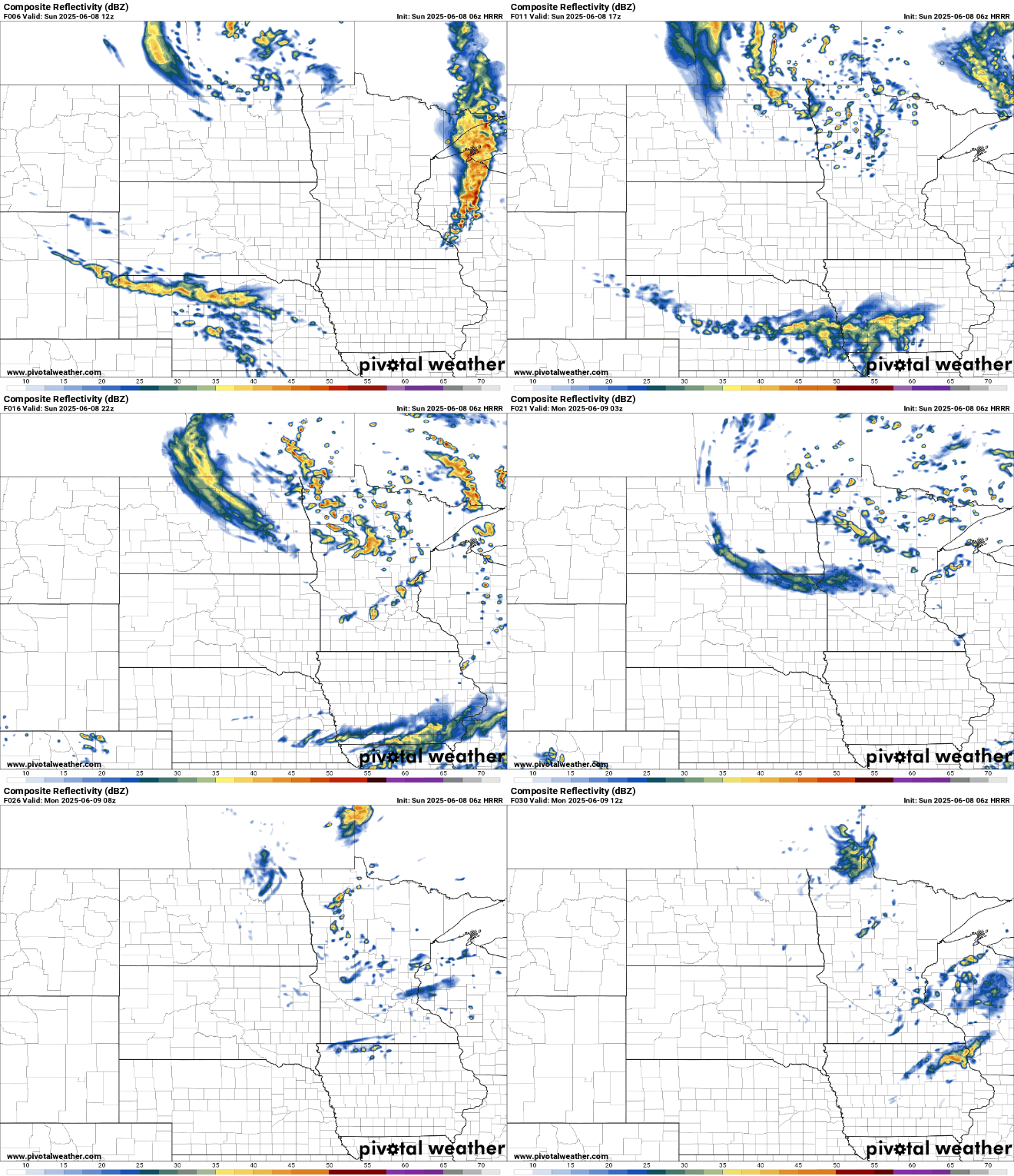
Chillier temperatures are expected Monday, with highs in the mid-60s across the state. Isolated diurnal showers remain possible, mainly in eastern Minnesota. Northwest winds will be breezy early but will gradually diminish through the afternoon.

Turn Up Your Support
MPR News helps you turn down the noise and build shared understanding. Turn up your support for this public resource and keep trusted journalism accessible to all.

