Smoke then soak: What's ahead in the forecast
Air quality alert until 11 p.m. Thursday

Go Deeper.
Create an account or log in to save stories.
Like this?
Thanks for liking this story! We have added it to a list of your favorite stories.


Smoke from Canadian wildfires has once again triggered an air quality alert across parts of Minnesota. Our forecast calls for heavy rainfall, potentially washing some of the smoke out of the air.
Air quality update
Canadian wildfire smoke has moved farther south, leading to improved air quality in north-central Minnesota. As a result, the air quality alert for that region has been canceled.
An air quality alert remains in effect for central and southern Minnesota until 11 p.m. Thursday. During this time, air quality levels are expected to reach the orange category, which is considered unhealthy for sensitive groups.

Incoming rainfall may help reduce smoke levels in certain areas. Be sure to check the latest air quality conditions, alerts, and forecasts here:
Turn Up Your Support
MPR News helps you turn down the noise and build shared understanding. Turn up your support for this public resource and keep trusted journalism accessible to all.
Soaking showers
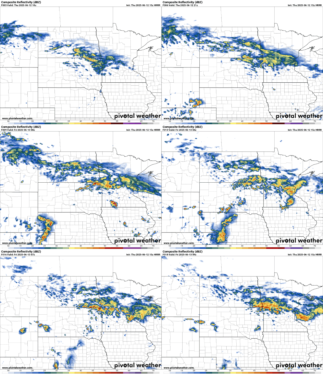
A stalled frontal boundary over southern Minnesota will bring heavier rains and storms Thursday night and into Friday. Some of the models are all over the place with the exact placement of the heaviest rain bands.
On the map below, the National Oceanic and Atmospheric Administration’s High-Resolution Rapid Refresh model shows a narrow band of heavy rain for central Minnesota. In the yellow-colored area, amounts greater than 4 to 5 inches may fall.

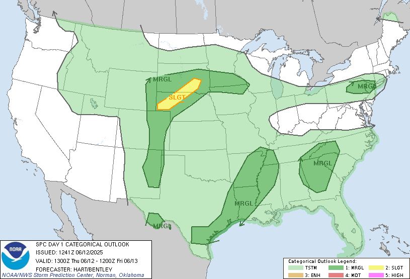
Some stronger storms are possible near the warm front in southern Minnesota, where NOAA’s Storm Prediction Center has issued a marginal risk. The main threats are large hail and damaging winds, primarily between 4 p.m. and 10 p.m.
Widespread showers and thunderstorms will continue to develop into Thursday night, with activity lingering into early Friday morning.