
Showers building Saturday night; warmer Father's Day ahead
80s return Monday with storm risk
Go Deeper.
Create an account or log in to save stories.
Like this?
Thanks for liking this story! We have added it to a list of your favorite stories.


Warm but unsettled weather is in store for Father’s Day, with off-and-on showers likely throughout the day. Rain showers increase Saturday night. The best opportunity for stronger storms arrives Monday as temperatures climb back into the 80s.
Showers pushing east
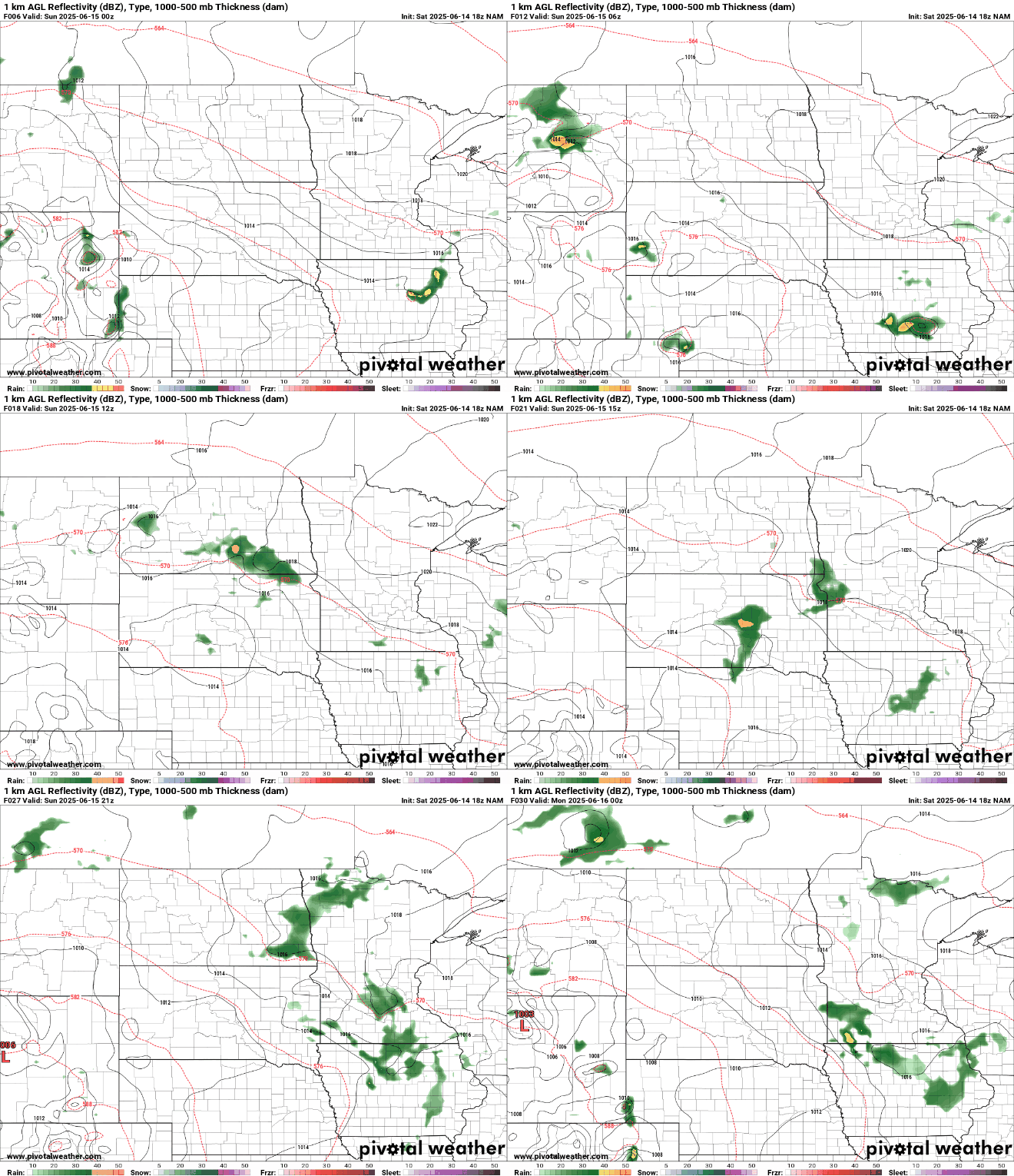
Radar is already showing rain showers developing in western Minnesota, pushing eastward toward the Twin Cities Saturday night. Temperatures will dip into the upper 50s to low 60s, with chillier mid-40s possible in northeastern Minnesota where skies remain clearer.

Temperatures will climb back into the 70s for Father’s Day after a chilly couple of days in the 50s and 60s. Lower 80s will once again be possible for southern Minnesota closer to the stalled warm front, which is expected to lift north on Monday.

Forecast models show isolated to scattered showers and storms for Father’s Day across central and southern Minnesota. It won’t be a washout, but expect plenty of cloud cover, much like Saturday.
Temperatures in the 80s return Monday with some sunshine and dew points in the 60s.
Stronger thunderstorms are expected Monday afternoon and evening. The National Oceanic and Atmospheric Administration’s Storm Prediction Center sees a slight risk (2 of 5) of severe weather. There’s a possibility of tornadoes, large hail, and damaging winds.

Our active weather pattern continues through Wednesday with a brief break Thursday after a cold front passes. Then, another round of active weather returns Friday. It’s definitely keeping us on our toes!
Turn Up Your Support
MPR News helps you turn down the noise and build shared understanding. Turn up your support for this public resource and keep trusted journalism accessible to all.

