
Significant rainfall for southern Minnesota Wednesday
Humid air lingers into the weekend

Go Deeper.
Create an account or log in to save stories.
Like this?
Thanks for liking this story! We have added it to a list of your favorite stories.


Multiple rounds of showers and thunderstorms will be with us Wednesday into Thursday morning across southern Minnesota. The weekend will be very warm and humid with spotty thunder.
Multiple rounds of rain, thunder before a dry end to the week
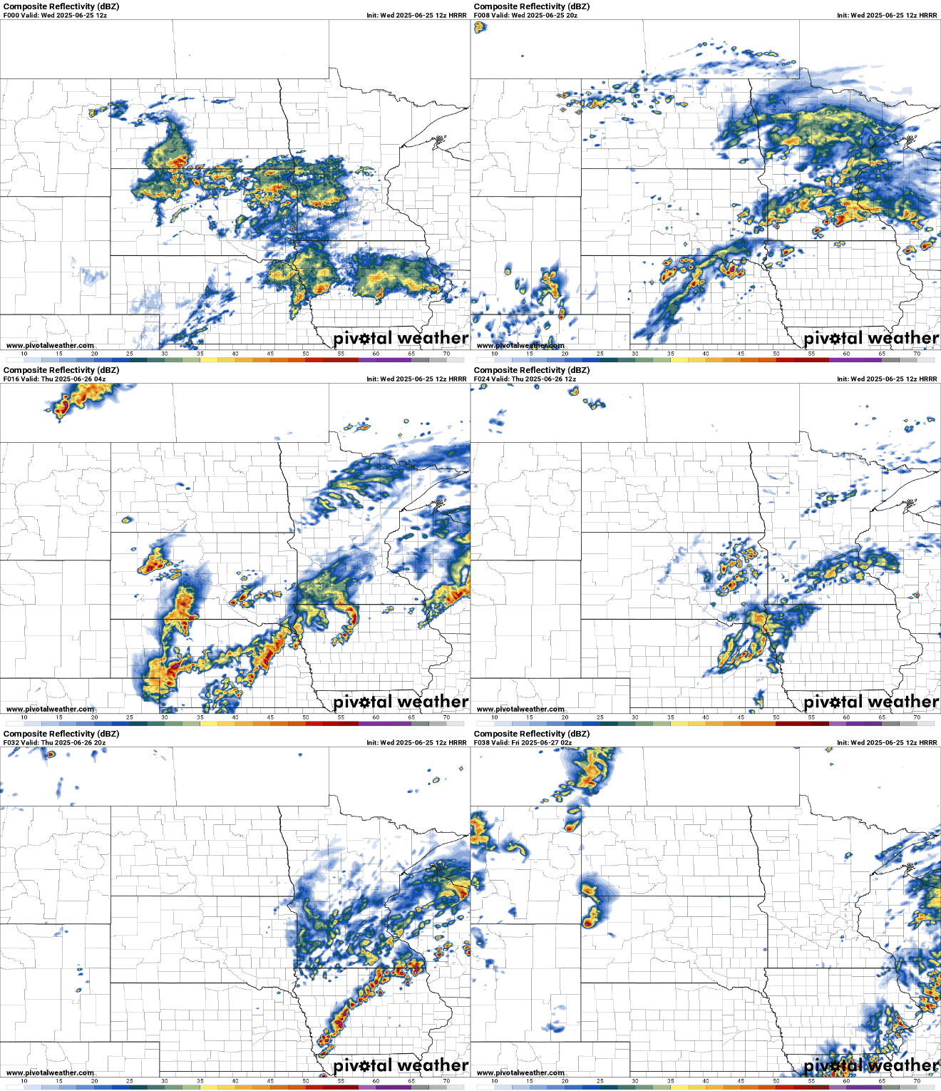
The first of multiple rounds of showers and thunderstorms continues to fill in and is moving north-northeast Wednesday morning across central and southern Minnesota. We’ll likely get some dry breaks this evening and overnight before another round moves in Thursday morning.
A flood watch is posted for portions of central and southeastern Minnesota through 7 a.m. Thursday due to potential flash flooding concerns.
Rainfall will be significant across southern Minnesota with 1 to 4 inches possible and some locally higher amounts.
Turn Up Your Support
MPR News helps you turn down the noise and build shared understanding. Turn up your support for this public resource and keep trusted journalism accessible to all.

The risk of excessive rainfall and flash flooding will need to be monitored depending upon where the heaviest bands of rainfall set up today into Thursday:

There’s also a slight risk (level 2 of 5) of isolated strong to severe storms Wednesday in far southern Minnesota along Interstate 90. A marginal risk (level 1 of 5) is forecast up to the Twin Cities.

Friday should be mostly dry and warmer thanks to decreasing clouds with highs back in the mid-80s to mid-70s.

The weekend could be heating up with highs well into the 80s, if not near 90 degrees, and some pretty muggy dew points in the low 70s by Saturday.
The combination of heat, humidity and some fast-moving upper-level disturbances means we’ll have some spotty thunder chances too.

