
Flood watch through early Thursday with more rain coming
Friday will be dry

Go Deeper.
Create an account or log in to save stories.
Like this?
Thanks for liking this story! We have added it to a list of your favorite stories.


We get somewhat of a break this evening and overnight from heavy rain in the Twin Cities. More rain is on the way Thursday ahead of a steamy weekend.
More rain through Thursday; dry Friday
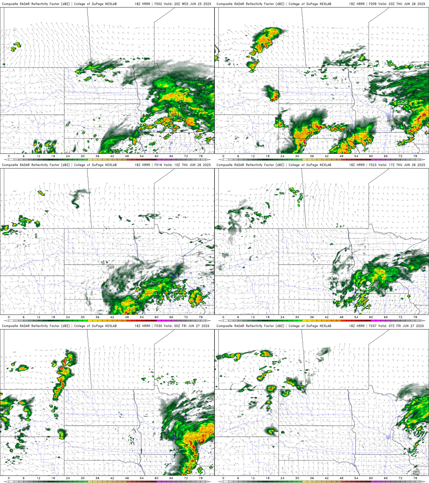
We’ll get an overall break from steady rain and storms overnight after the last storms exit southeast and northeast Minnesota. Round two develops early Thursday morning into much of the day Thursday.
A flood watch is posted for portions of southeast Minnesota into western Wisconsin through 7 a.m. Thursday due saturated ground and more rainfall.
Additional rainfall Thursday is likely to be in the 1 to 2 inch range with locally higher amounts possible, especially in southeast Minnesota, on top of the 1 to 5 inches of rain many saw Wednesday.

Temperatures will continue to be rain-cooled Thursday, mostly in the 60s and 70s. Friday will be mostly dry with decreasing clouds and a brief dip in dew points. Highs will be in the 70s to low 80s.

The weekend brings back some pretty humid air with dew points in the 70s for southern Minnesota and highs near 90 degrees for portions of southern Minnesota.
That, combined with a couple more upper level disturbances means that we’ll have some thunder chances over the weekend again, although no day should be a wash out.
Turn Up Your Support
MPR News helps you turn down the noise and build shared understanding. Turn up your support for this public resource and keep trusted journalism accessible to all.

