
Hot and humid weekend brings potential for severe storms

Go Deeper.
Create an account or log in to save stories.
Like this?
Thanks for liking this story! We have added it to a list of your favorite stories.


Several rounds of thunderstorms are possible in the region from Friday night through Sunday. Some storms may be capable of damaging winds, large hail and possibly a tornado. It will also be rather steamy.
Storm chances brewing
The first of a couple storm chances coming our way begins in the Dakotas Friday evening and expands into western Minnesota overnight.
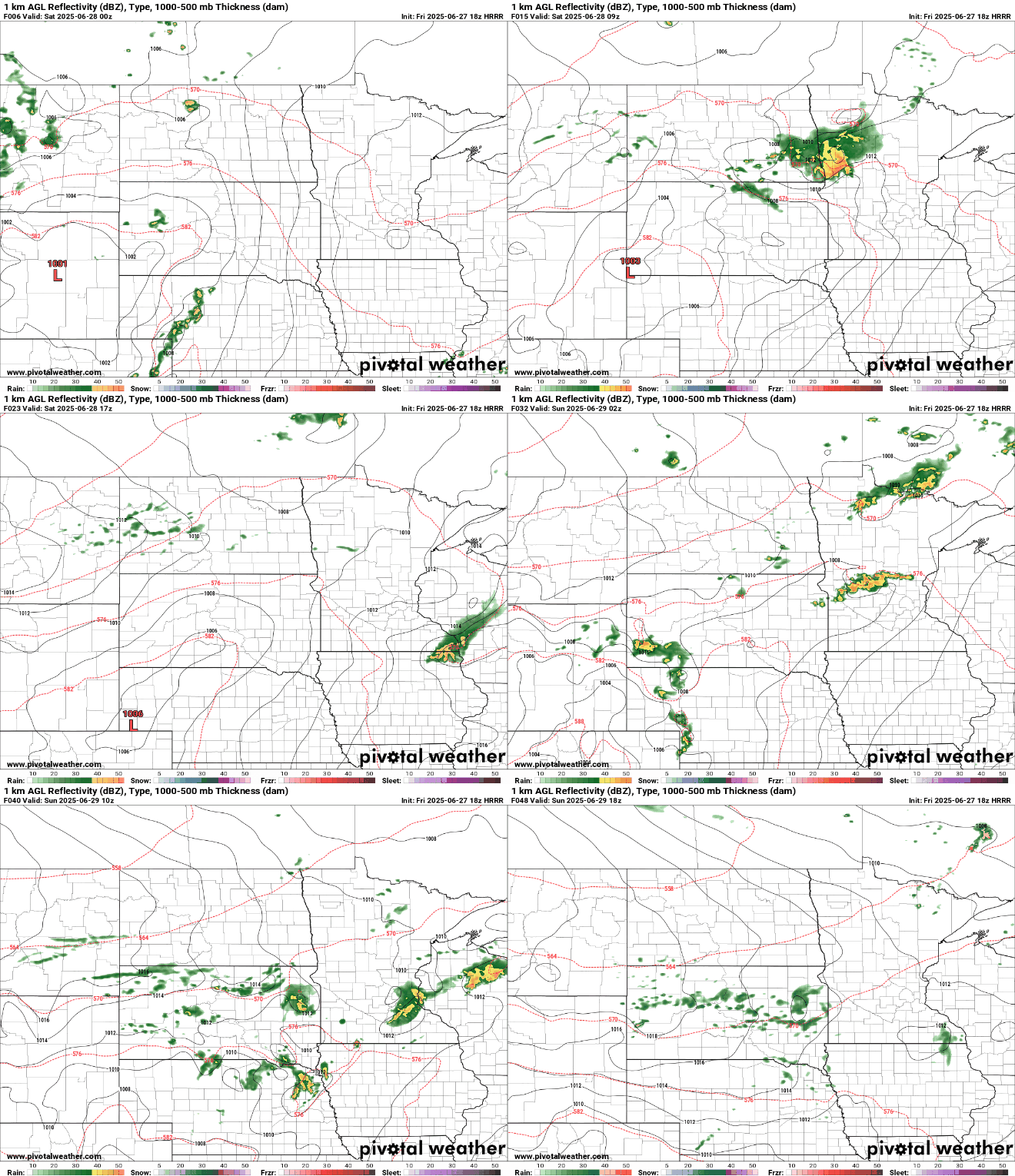
Damaging winds will be the main severe weather threat in the first round. That threat lessens as storms progress eastward near the Twin Cities early Saturday morning.

As is often the case with these one-two-punch storm days, the severe threat later in the day will depend on how quickly the morning round dies off and allows the atmosphere to destabilize.
Turn Up Your Support
MPR News helps you turn down the noise and build shared understanding. Turn up your support for this public resource and keep trusted journalism accessible to all.
Saturday evening and overnight is when central and southern Minnesota have a slight risk (level 2 of 5) for severe weather. Key threats would be damaging winds and large hail. A couple of tornadoes may also be possible.

Sunday morning will have tapering showers. Southeastern Minnesota will see additional storm chances Sunday afternoon. An isolated storm may be severe.

Given how saturated the ground is, area flash flooding is possible from heavy rain this weekend, particularly from the Saturday evening round. Rain totals will be around three-fourths of an inch in the Twin Cities.

Our storm chances will be fueled by hot and muggy conditions that peak on Saturday with highs approaching 90 degrees and heat indices well into the 90s.
Sunday will still be warm and humid, but it will be a step toward comfort in the wake of a cold front.


