
Thunder chance Tuesday night north and southwest, isolated storm Wednesday
Heating up for the Fourth of July holiday

Go Deeper.
Create an account or log in to save stories.
Like this?
Thanks for liking this story! We have added it to a list of your favorite stories.


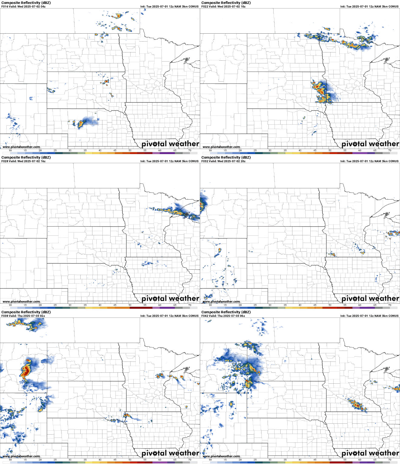
Some showers and thunder are possible late Tuesday night into early Wednesday in far northern and southwestern Minnesota. A few isolated storms will pop up Wednesday afternoon.
Isolated thunder chances with greater chances late Friday
After a pleasant first day of July, skies will be partly cloudy overnight into Wednesday. Lows will drop into the 50s north with 60s in southern Minnesota, very seasonable for early July.

A disturbance to the north and one to the southwest will touch off some spotty showers and thunder late Tuesday night into early Wednesday in far northern Minnesota and southwestern Minnesota.
We’ll see plenty of sun Wednesday, but some isolated, pop-up storms will develop late in the afternoon or evening hours. Most will stay dry, however.
Turn Up Your Support
MPR News helps you turn down the noise and build shared understanding. Turn up your support for this public resource and keep trusted journalism accessible to all.
Wednesday will be very warm with highs well into the 80s for all but the North Shore, which will remain in the 70s.

Dew points will also be steadily increasing Wednesday into Thursday, bringing back some tropical, humid air. By Friday, it will be a potentially hot one for the Fourth of July with highs near 90 degrees.

We also have an increased risk of storms with the humid air, a couple upper level disturbances and a cool front making its way into the state late Friday and Saturday. For most, the chances are highest Friday night and late Saturday.
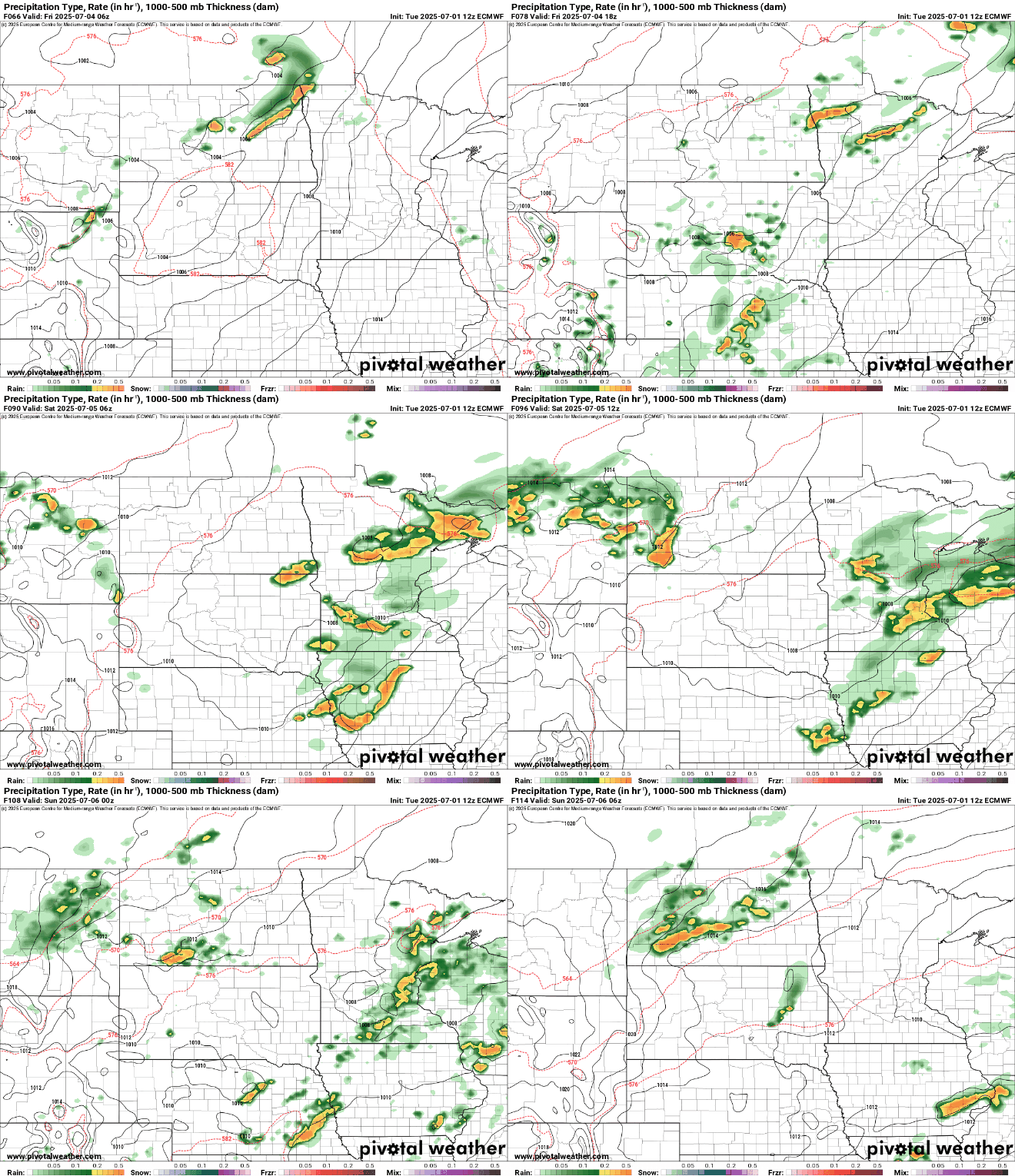
Slightly cooler and drier air moves in for Sunday and Monday behind the front.

