
Stars, stripes and sweat: A hot and humid 4th of July
Incoming cold front could spark strong storms across the region

Go Deeper.
Create an account or log in to save stories.
Like this?
Thanks for liking this story! We have added it to a list of your favorite stories.


Hot and humid conditions are set to take over this Fourth of July, making for a sweltering holiday. But the heat isn’t the only concern — a cold front pushing in from the Dakotas could trigger strong to severe storms across parts of the state, with some potentially arriving right around fireworks time.
Red, white and really hot
Mother Nature may have her own fireworks show in store, with a chance for strong storms moving in Friday night. Ahead of the cold front, temperatures will surge once again into the 90s across much of the state, fueling the risk for late day thunderstorms.

Dew points remain stubbornly high, lingering in the upper 60s to low 70s. That sticky air is pushing heat indices into the upper 90s and even low 100s in some spots.
Turn Up Your Support
MPR News helps you turn down the noise and build shared understanding. Turn up your support for this public resource and keep trusted journalism accessible to all.
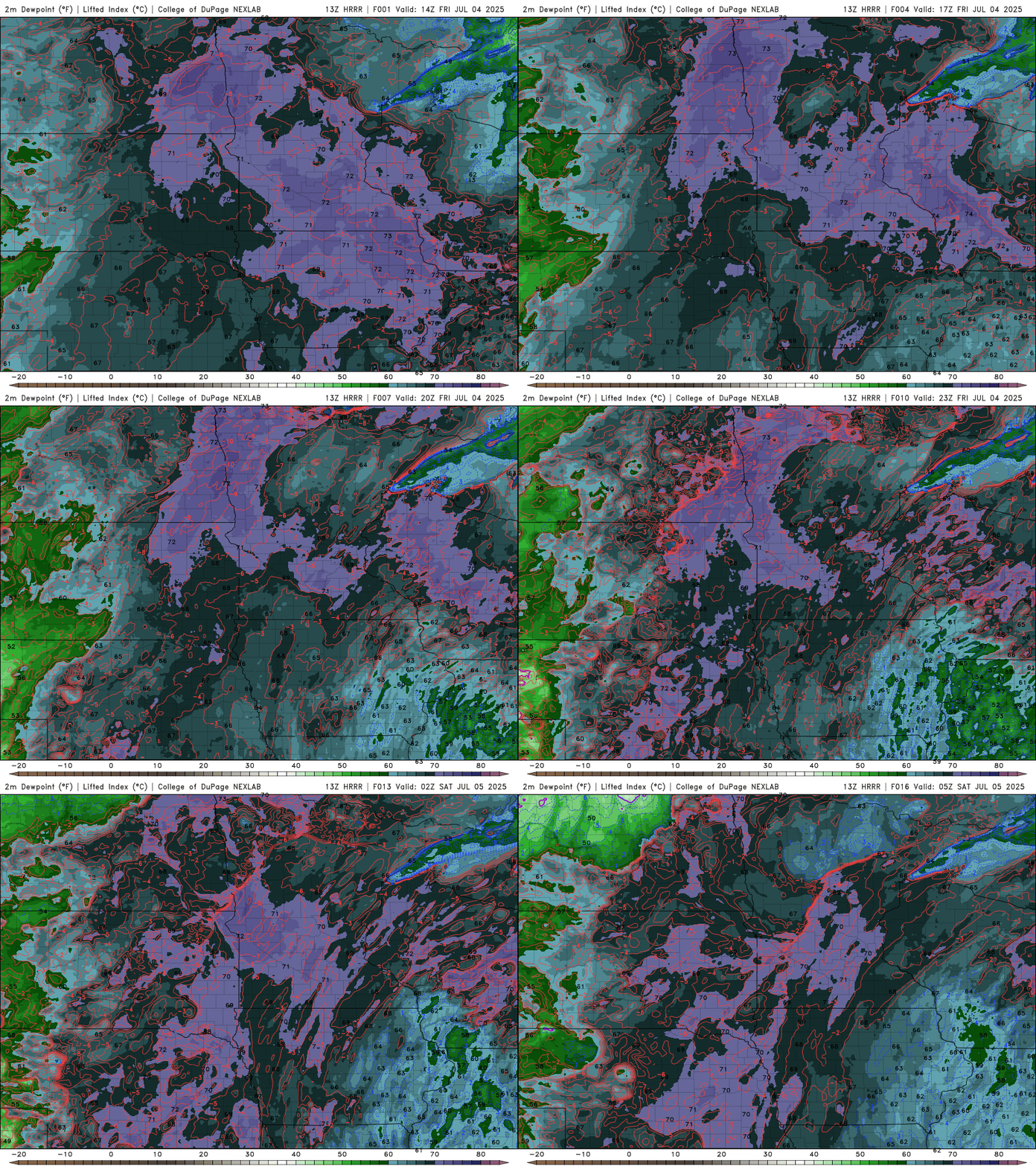
An extreme heat warning and heat advisory have been issued for different portions of the state until 8 p.m. tonight.

A slow-moving cold front will slide eastward out of the Dakotas Friday night, potentially sparking some of Mother Nature’s own fireworks. Storms could begin to fire as early as 5 to 7 p.m. across northwest and northern Minnesota.
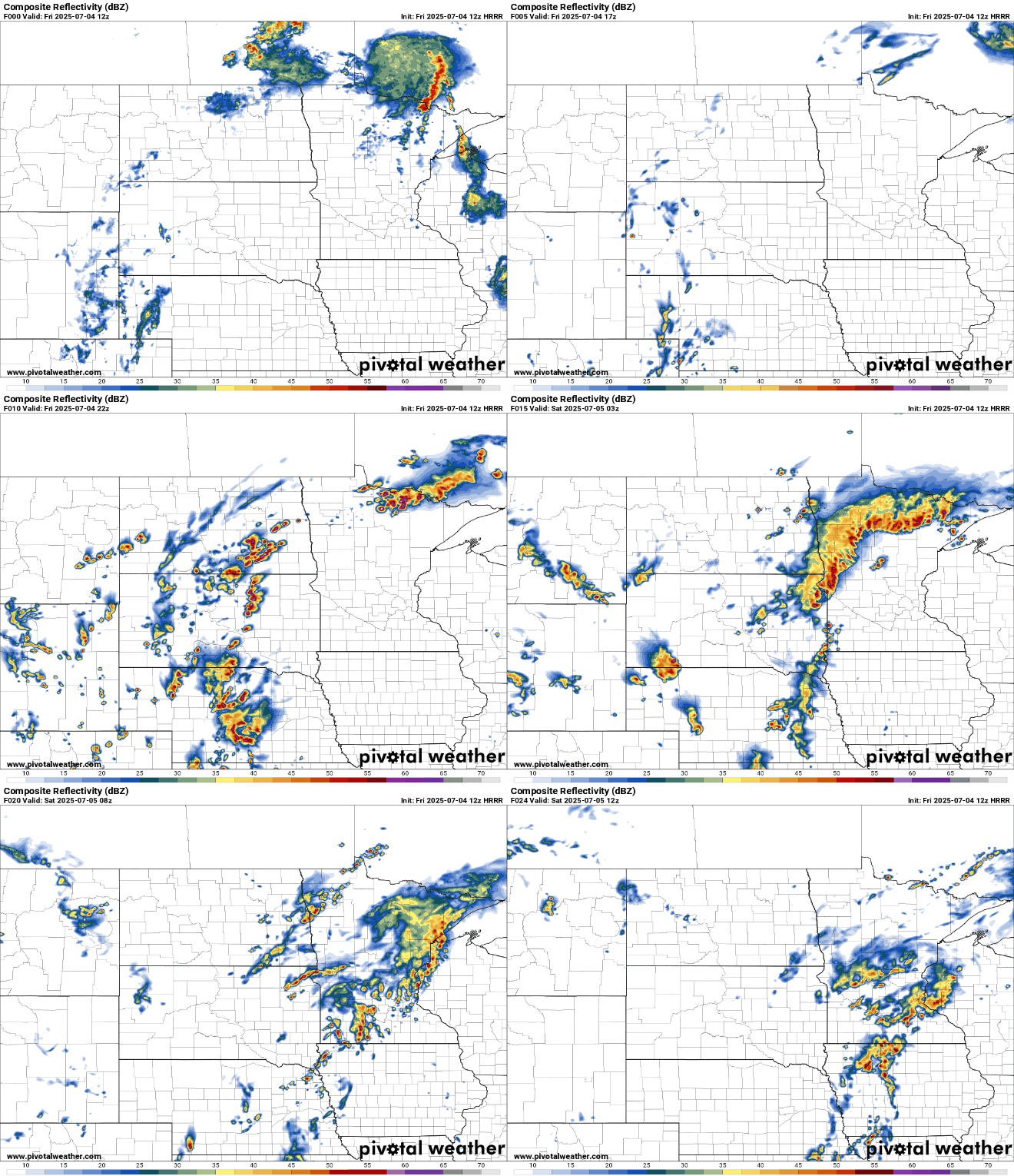
Western Minnesota could see storms develop around 10 p.m., with the line gradually shifting east overnight. As the storms move toward the Twin Cities metro area after midnight, they are expected to weaken, though gusty winds and brief downpours are still possible.
The threat for severe weather remains minimal for most areas, with a marginal risk covering a large portion of the state. However, a Slight Risk has been outlined for northwestern and north-central Minnesota, where stronger storms could bring gusty winds and isolated instances of hail.

Friday night low temperatures will dip into the 60s across northern Minnesota, while the rest of the state sees lows in the low to mid-70s — offering little relief from the day’s heat and humidity.

Saturday will bring increased cloud cover as our slow-moving cold front lingers across the region. The threat for severe weather shifts east into Wisconsin, but with clouds hanging around and scattered thunderstorms still possible, temperatures will cool back to seasonal levels — topping out in the upper 70s to low 80s.

Our front will begin moving east Saturday night and the rest of weekend is looking dry!
Sunday looks cooler with plenty of sunshine, with highs generally in the mid to upper 70s and some spots in southeastern Minnesota reaching into the low 80s. Comfortable dew points will also return, dropping into the 50s and low 60s for a much more pleasant feel.

