
Showers, thunder late Monday with dry weather midweek
More storms are possible Friday

Go Deeper.
Create an account or log in to save stories.
Like this?
Thanks for liking this story! We have added it to a list of your favorite stories.


Monday will be seasonably warm with partly cloudy skies. Storms develop west late Monday and track east overnight. Midweek should be mostly dry before more storms Friday.
Partly cloudy Monday with showers, thunder late
We’ll have sun and mostly dry weather most of the day for eastern Minnesota. Highs will be in the low to mid-80s in southern Minnesota with upper 70s north.

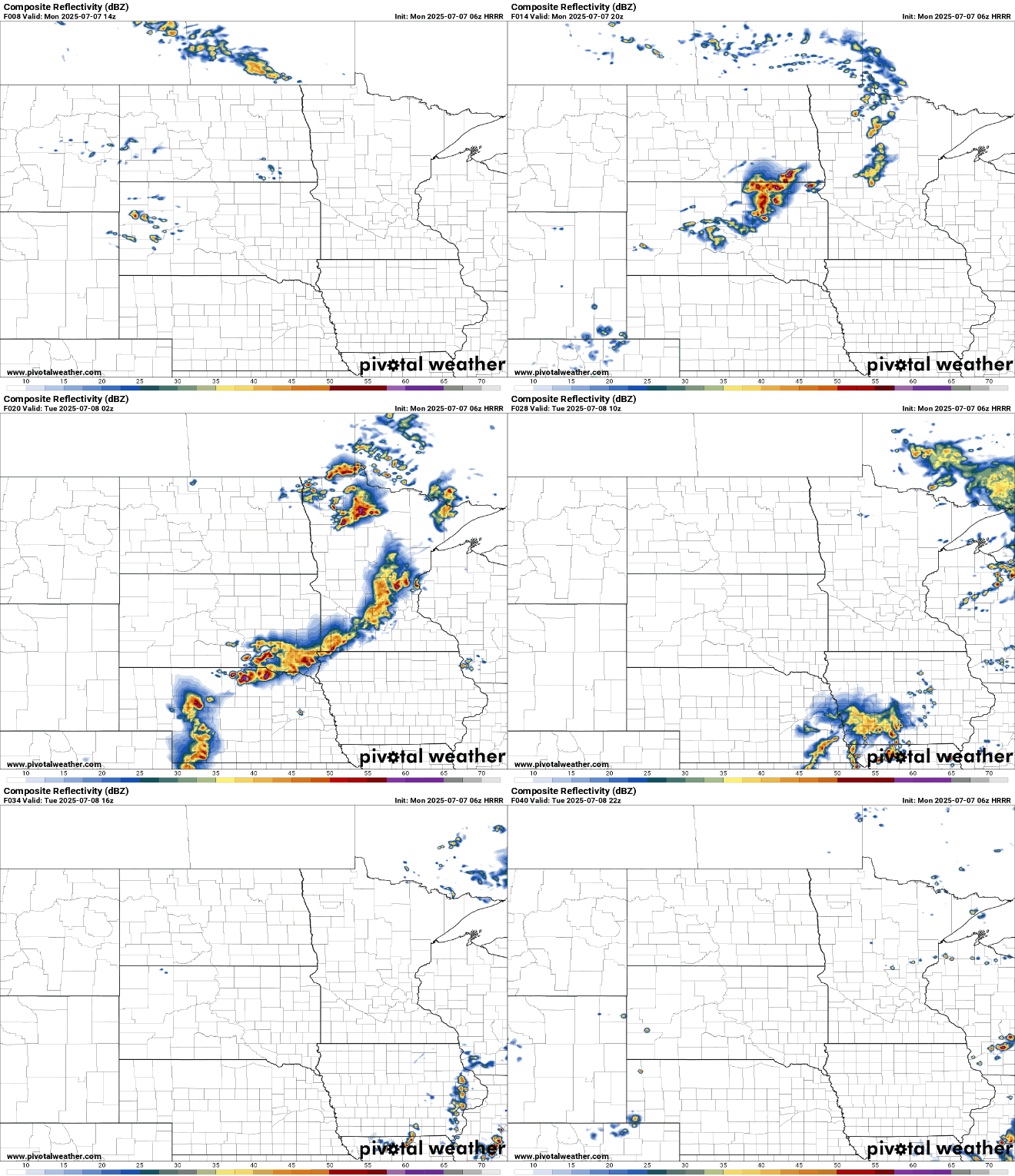
A clipper system will develop scattered showers and thunderstorms late Monday afternoon and evening in western Minnesota. Those showers and storms will then track east overnight. We could have a lingering isolated shower or thunderstorm popping up in eastern Minnesota Tuesday afternoon.
There’s a marginal risk (level 1 of 5) of a severe storm or two also for much of the state with a slight risk (level 2 of 5) forecast for far western Minnesota.
Turn Up Your Support
MPR News helps you turn down the noise and build shared understanding. Turn up your support for this public resource and keep trusted journalism accessible to all.
In particular, we’re looking for an elevated threat of damaging wind gusts in some storms late Monday, especially in far western Minnesota:

Rainfall amounts look to be fairly modest for most. Some locally higher amounts are possible in some storms, especially in western Minnesota late Monday.

Other than an isolated shower or storm Tuesday, it will be pleasant with partly cloudy skies and highs back in the 80s for most.

Wednesday and Thursday should be dry and pleasant with plenty of sunshine. Wednesday will be comfortable but dew points will start to increase Thursday ahead of the next storm system which will deliver more rain and thunder to the state by Thursday night and Friday.

