Splendid Saturday with sunshine and temperatures in the 70s
Quiet weekend conditions give way to showers and storms next week
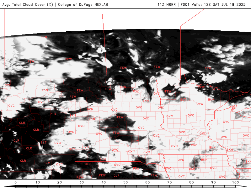
Go Deeper.
Create an account or log in to save stories.
Like this?
Thanks for liking this story! We have added it to a list of your favorite stories.
A wonderful start to the weekend as high pressure builds in, bringing sunshine and comfortable temperatures in the 70s. Despite the pleasant weather, an air quality alert is in effect Saturday afternoon for northern Minnesota.
Building sunshine and 70s
Lingering cloud cover across the state and light rain showers in southern Minnesota will start our Saturday, along with areas of fog already in place early Saturday morning.
Look for the cloud cover and fog to burn off as we head into a sunny weekend, thanks to high pressure moving in from southwestern Canada.
Turn Up Your Support
MPR News helps you turn down the noise and build shared understanding. Turn up your support for this public resource and keep trusted journalism accessible to all.

Temperatures are expected to reach the upper 70s once again today, which is a few degrees below the seasonal average of 84.

Air quality concerns
Another air quality alert goes into effect Saturday at 1 p.m. and will remain until Monday at 9 a.m., primarily affecting northern Minnesota. Air quality is expected to reach the purple category, which is considered unhealthy for everyone.
Smoke will initially impact the far northern region before spreading south and east over the weekend.

Slightly warmer temperatures return Sunday as highs climb back into the 80s after several days in the 70s. Most areas can expect mid to upper 70s, with a few spots reaching into the 80s across the state.

Hot and humid conditions return next week, with temperatures in the 80s and dew points in the 60s, resulting in heat indices reaching the low 90s.
There will be nearly daily chances for showers and thunderstorms as a very active weather pattern develops next week.