

Showers and thunderstorms return to forecast; heat builds in Tuesday
Improving air quality to start the week
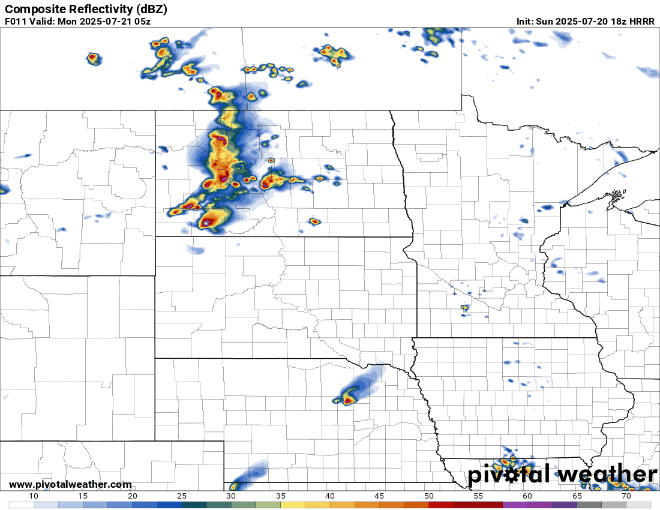
Forecast precipitation midnight Monday to 7 p.m.
NOAA via Pivotal Weather
Go Deeper.
Create an account or log in to save stories.
Like this?
Thanks for liking this story! We have added it to a list of your favorite stories.
