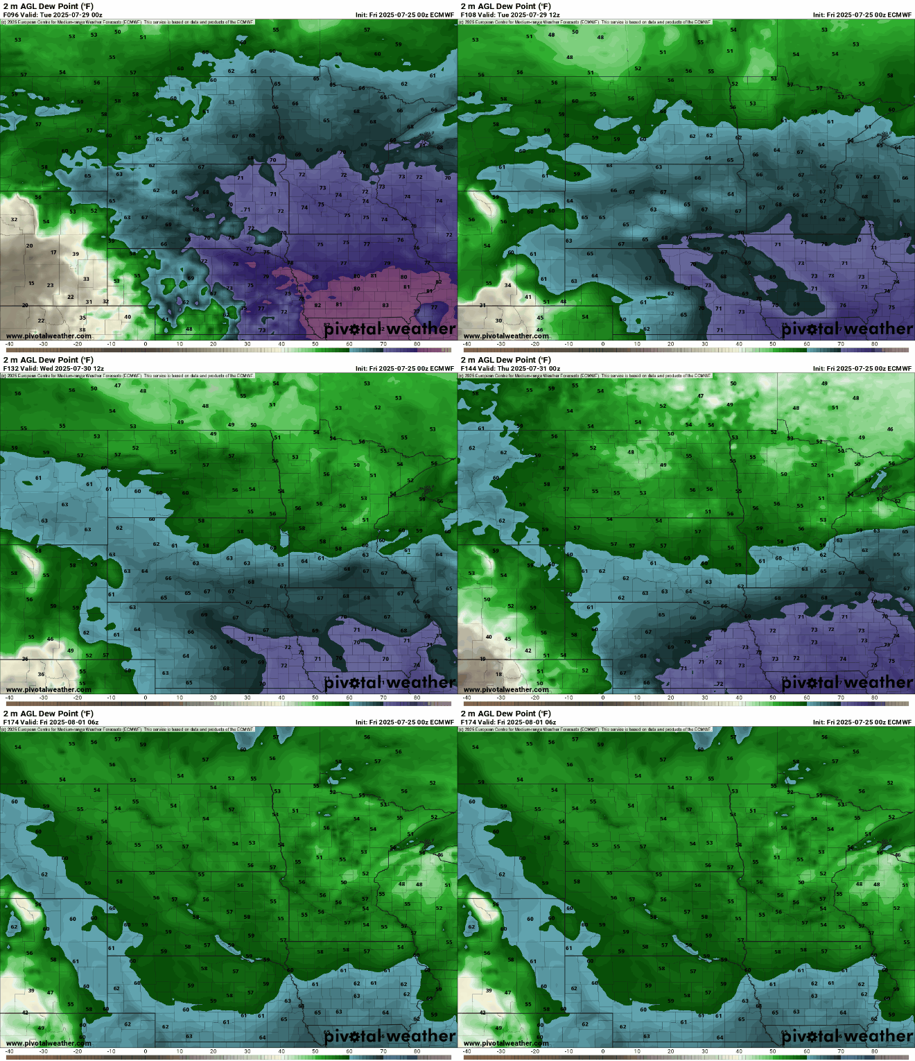
High pressure makes for pleasant Friday before steamy weekend
Storms will become more likely through the weekend
Go Deeper.
Create an account or log in to save stories.
Like this?
Thanks for liking this story! We have added it to a list of your favorite stories.


High pressure will keep skies mostly clear Friday. Hot, humid air moves back in for the weekend with spotty storms north. Storms are likely statewide Sunday night.
High pressure keeps it dry Friday, but steamy air returns this weekend
It’ll be a pleasant day Friday with lots of sunshine and slightly lower dew points in the muggy 60s compared to the really humid 70s. Afternoon highs will be in the 80s statewide.

Air quality alerts remain in effect for most of Minnesota through late Friday due to Canadian wildfire smoke. Surface high pressure and light winds are keeping the smoke largely in place, moving in and out a bit across Minnesota and Wisconsin Friday.

Check the latest air quality conditions, alerts and forecasts here:
Turn Up Your Support
MPR News helps you turn down the noise and build shared understanding. Turn up your support for this public resource and keep trusted journalism accessible to all.
The heat and humidity return for the weekend into Monday. Dew points will again increase into the 70s making it pretty tropical once again into Monday.
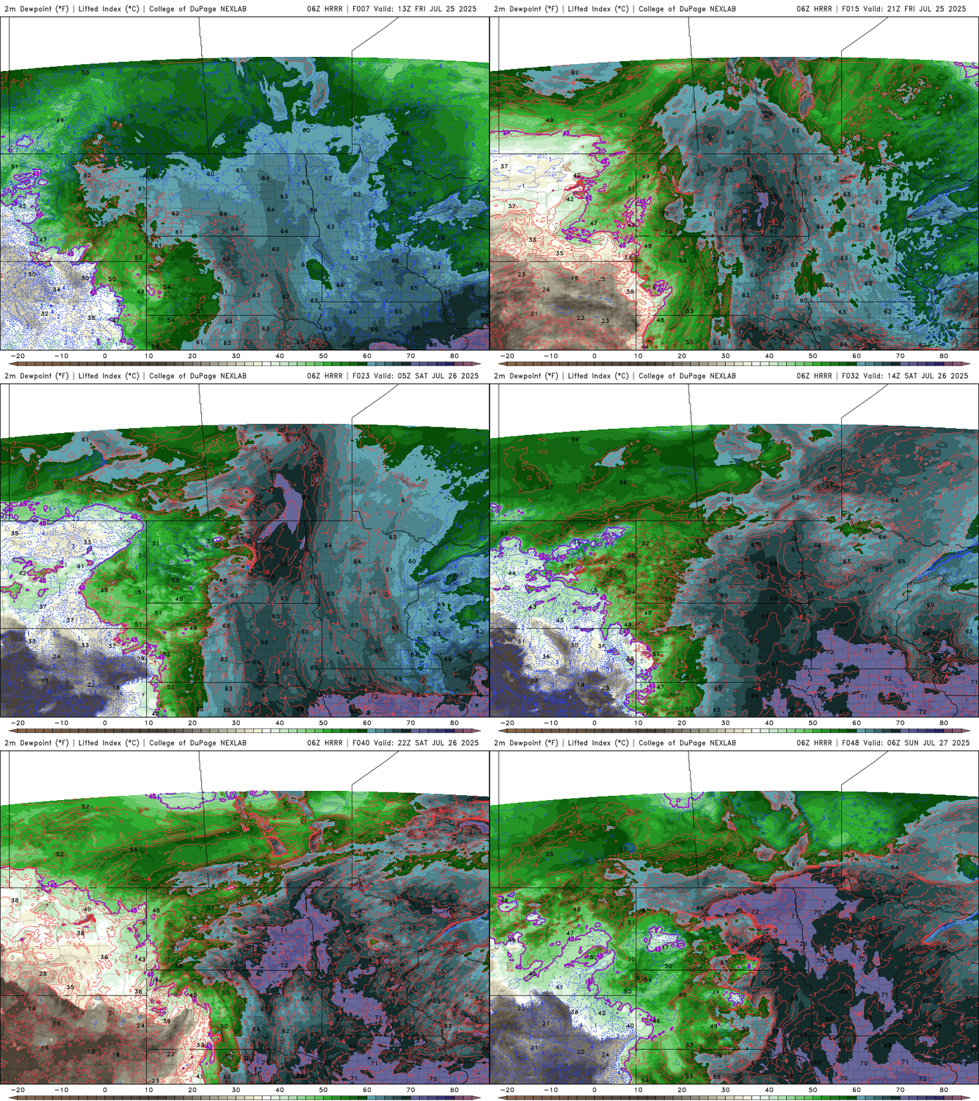
Highs Saturday and Sunday will heat up from the upper 80s Saturday to low 90s Sunday in southern Minnesota.

Heat indices will likely be well into the 90s if not near 100 degrees again Sunday and possibly Monday afternoon also.

There will be some spotty storms in northern Minnesota Saturday and Sunday with a statewide chance late Sunday into Sunday night as a cool front sweeps across the state again.
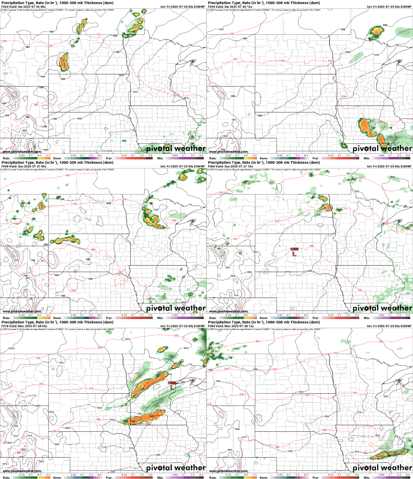
There is a marginal risk (level 1 of 5) for severe storms forecast for Sunday into Sunday night.

Another front will bring more showers Tuesday and finally drop temperatures and dew points to comfortable levels by midweek next week if you’re sick of the steamy air.