
Steamy air is back for the weekend with spotty storms north
Cooler, drier air arrives midweek

Go Deeper.
Create an account or log in to save stories.
Like this?
Thanks for liking this story! We have added it to a list of your favorite stories.


After somewhat of a reprieve from the most humid air the last couple days, the steamy air returns. Storms are possible north today and tonight with statewide chances Sunday night.
Steamy air is back for the weekend with spotty storms north
It’ll be a warm one today with afternoon highs warming into the upper 80s to low 90s across southern and western Minnesota with 80s up to the international border also.

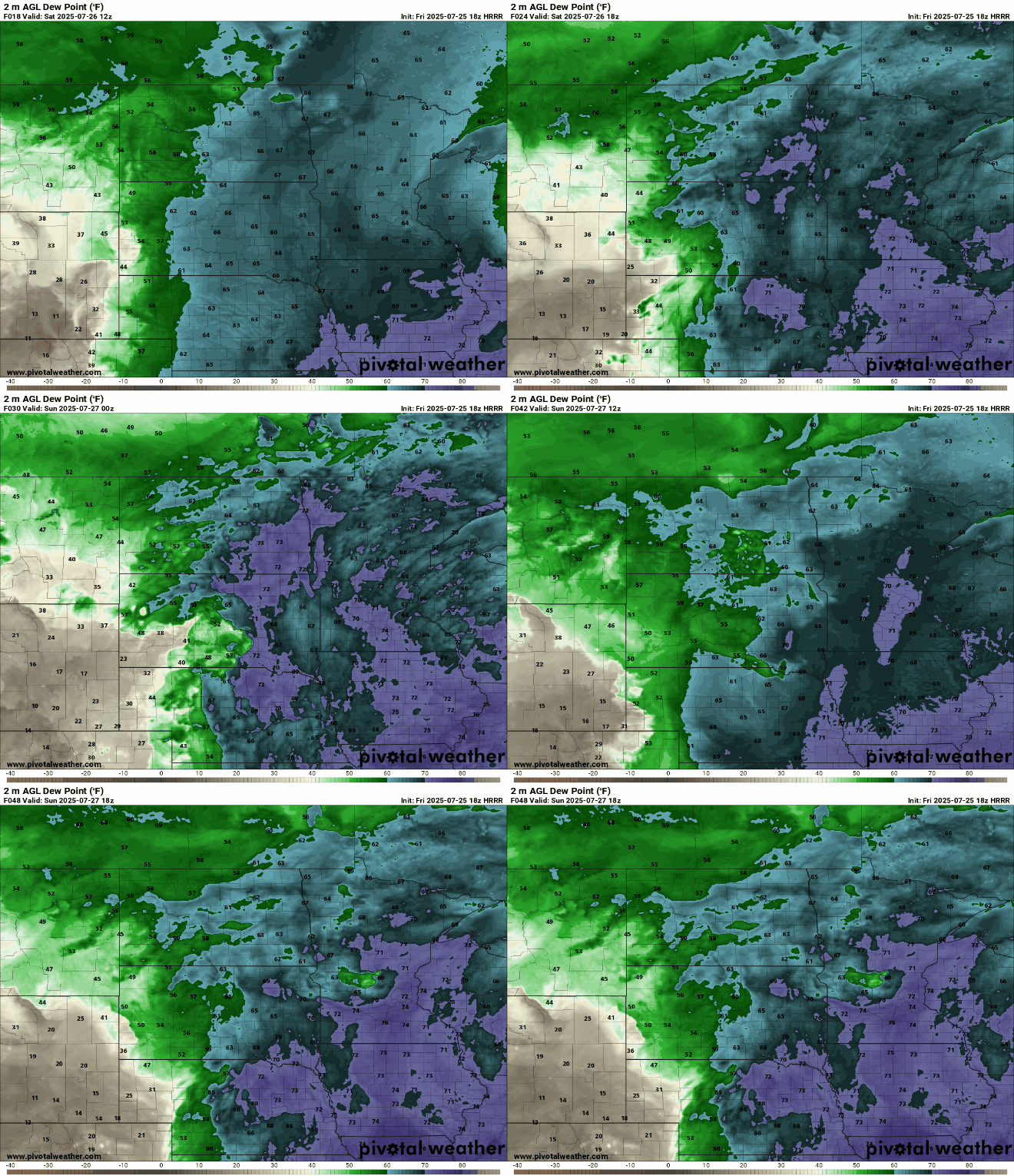
The dew points are also back into tropical territory today through Monday for central and southern Minnesota. We’ll see dew points in the 70s, peaking potentially Sunday in the mid to upper 70s across southern Minnesota.
Heat advisories are posted for much of northern and western Minnesota Saturday due to the combination of heat and humidity. An extreme heat watch is posted for southern Minnesota and the Twin Cities for Sunday afternoon.
Turn Up Your Support
MPR News helps you turn down the noise and build shared understanding. Turn up your support for this public resource and keep trusted journalism accessible to all.
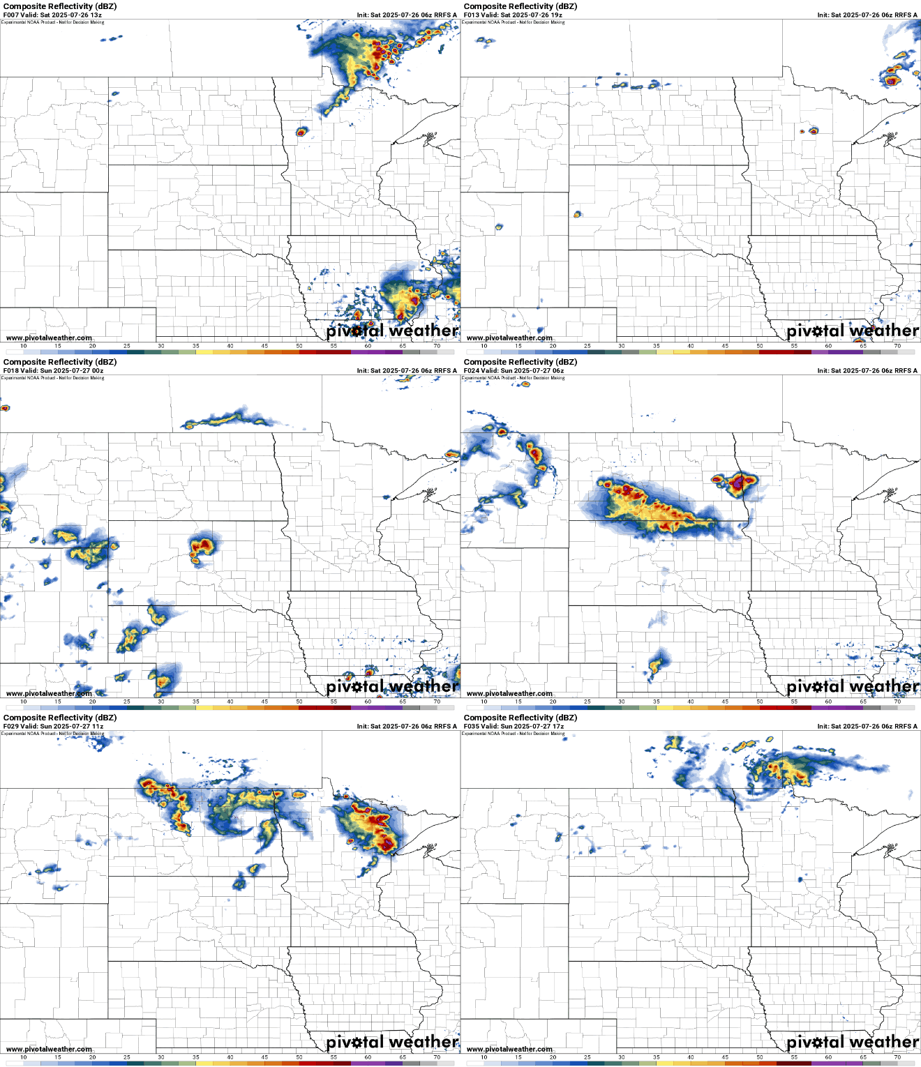
That moisture, combined with a couple fast-moving upper level disturbances is creating some showers and thunderstorms Saturday morning for northern Minnesota. There will be more spotty storms possible north Saturday night into early Sunday again.
There is a slight risk (level 2 of 5) of severe weather forecast for northwest Minnesota and a marginal risk (level 1 of 5) for the rest of northern Minnesota Saturday into Saturday night.

Sunday will be particularly steamy with highs in the low 90s and dew points well into the 70s, creating heat indices near or surpassing 100-degrees across southern Minnesota.

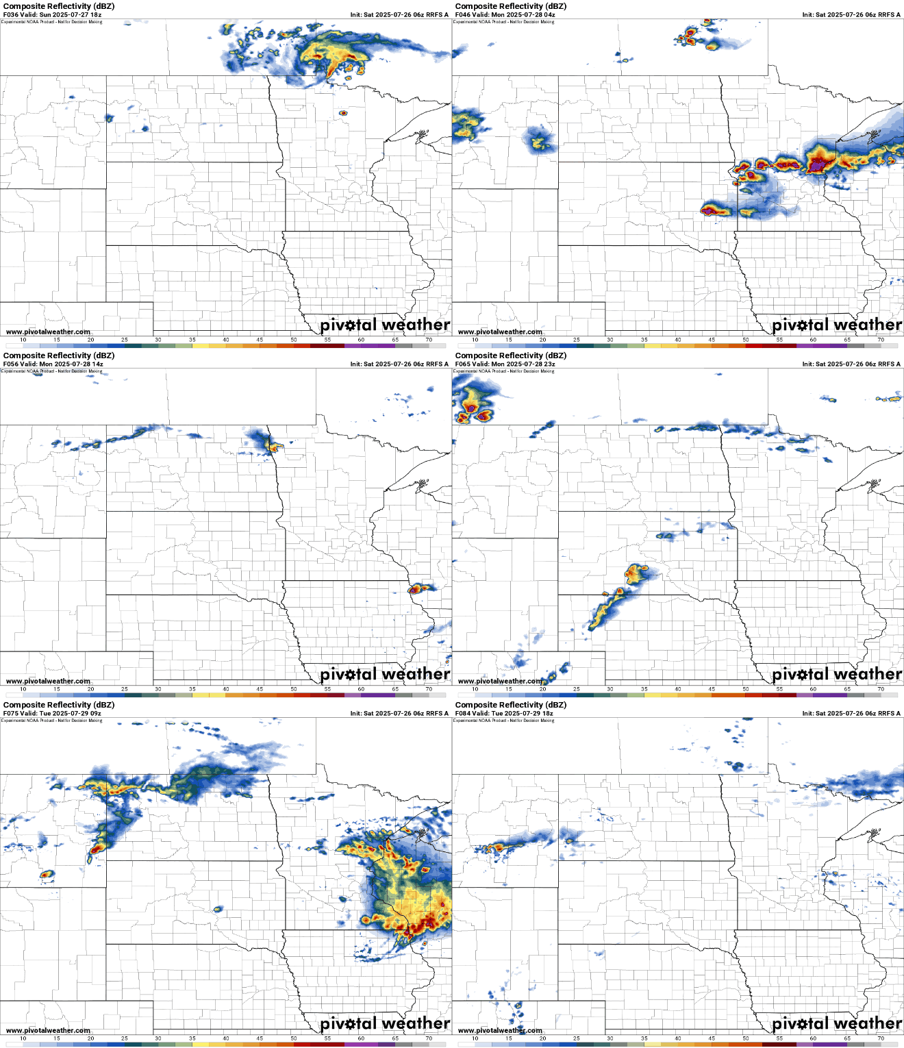
The first of two cool fronts moves through Sunday night creating a more widespread chance of scattered showers and storms across the state into early Monday.
There’s a marginal risk (level 1 of 5) forecast for severe storms Sunday into Sunday night for most of the state.

A second front moves through Tuesday, touching off more showers, and finally dropping temperatures and dew points to comfy levels by Wednesday and Thursday. Highs will be mostly in the 70s with dew points in the 50s.


