
Steamy stretch with rounds of strong storms Sunday and Monday

Go Deeper.
Create an account or log in to save stories.
Like this?
Thanks for liking this story! We have added it to a list of your favorite stories.


A heat advisory blankets much of the region Sunday with an excessive heat warning expanding from Southwest Minnesota across the Twin Cities and into northwest Wisconsin from noon to 9 p.m. Please limit your time outdoors and stay hydrated.

Complaints will be directed toward humidity as air temperatures alone aren't enough for heat headlines today. Highs will be in upper 80s to mid-90s, and with dew points in the 70s, heat indices will be pushing triple digits this afternoon.
The moisture in the air is palpable. As a result, where storms do develop, we're primed for heavy downpours. An early round pushes across northern Minnesota this morning, then additional storms are expected in a line cutting through the center of the state this afternoon and evening. Those storms reach the Twin Cities after about 7 p.m.
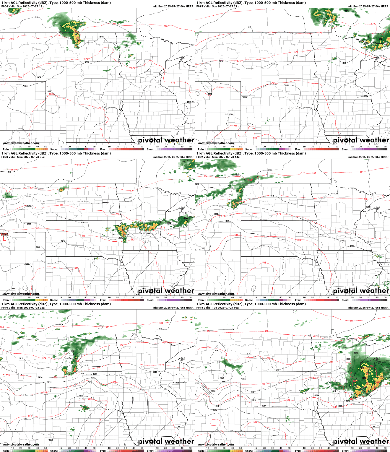
The main severe risk would be damaging winds. Large hail is also possible, and an isolated storm may be capable of producing a weak tornado. The flooding threat would come into play if storms form in a line that pass over the same communities. The greatest risk for that is northeast Minnesota, where a Flood Watch is in effect from 4 p.m. today until 6 a.m. tomorrow.

Monday will bring more of the same. Highs will be back to mid-80s to low 90s, and dew points hover in the 70s. The worst of the heat will be in Southern Minnesota.

Monday evening and night then brings more potentially severe thunderstorms. Northern communities that see excessive rain on Sunday get a break from the Monday round, and we'll look to west central and southern Minnesota, including the Twin Cities, for heavy rain and potential flooding.

By Tuesday, a low chance of additional storms lingers, but we begin a trend toward quieter and more comfortable conditions that settle in for the rest of the week.

Turn Up Your Support
MPR News helps you turn down the noise and build shared understanding. Turn up your support for this public resource and keep trusted journalism accessible to all.

