
Dew points fall Wednesday as high pressure pushes in; a few showers south
Lots of sun later Wednesday and into the weekend
Go Deeper.
Create an account or log in to save stories.
Like this?
Thanks for liking this story! We have added it to a list of your favorite stories.


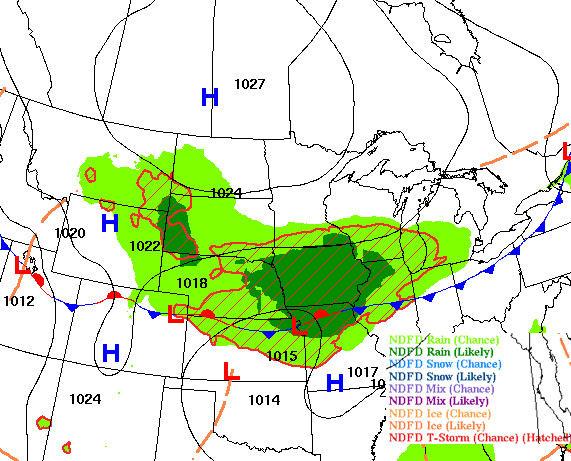
Muggy air lingers in southern Minnesota where showers will dissipate Wednesday morning. Highs will be mostly in the 70s Wednesday with dew points continuing their fall as high pressure settles in.
Showers south Wednesday morning with dew points continue to drop
The latest disturbance affecting mostly far southern Minnesota will move out, allowing for a few showers and thunderstorms to dissipate across the state’s far southern counties Wednesday morning into the midday. An isolated afternoon thundershower is also possible.
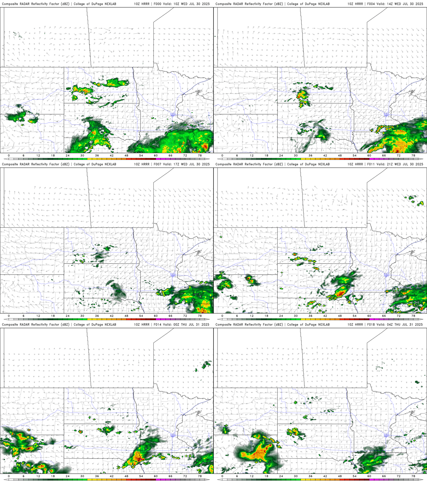
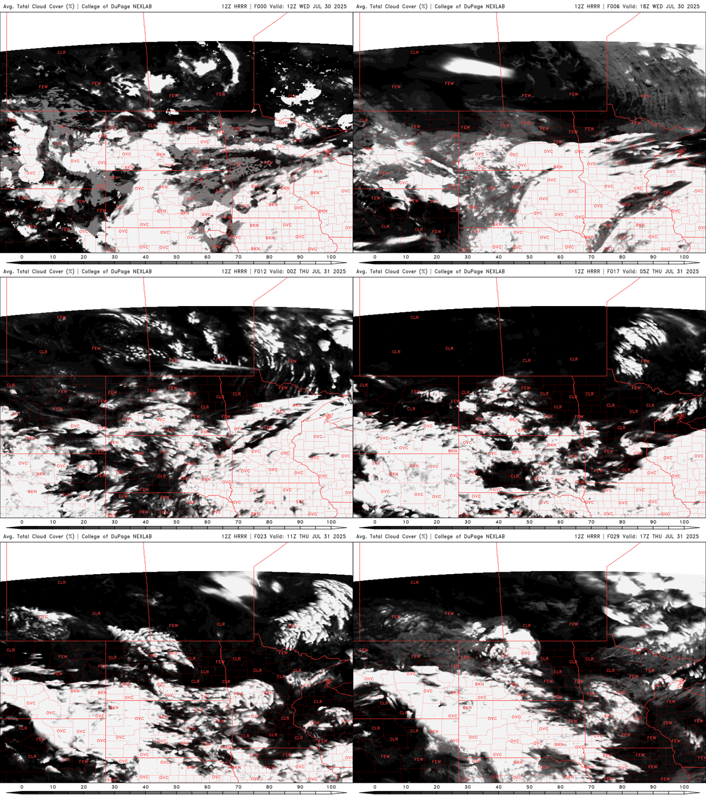
Northern Minnesota will see sun all day thanks to building high pressure. Southern Minnesota will see clouds decrease into the afternoon and especially Thursday.
Wednesday will be cooler with highs mostly in the 70s to near 80 degrees for a few places, making for a pleasant break.
Turn Up Your Support
MPR News helps you turn down the noise and build shared understanding. Turn up your support for this public resource and keep trusted journalism accessible to all.

Coming with the cooler air, unfortunately, is the return of Canadian wildfire smoke with northerly winds the next few days. There’s an air quality alert for most of Minnesota through Saturday.
Check the latest air quality conditions, alerts and forecasts here:
Another great link showing real-time air quality and fire, smoke locations can be found here:
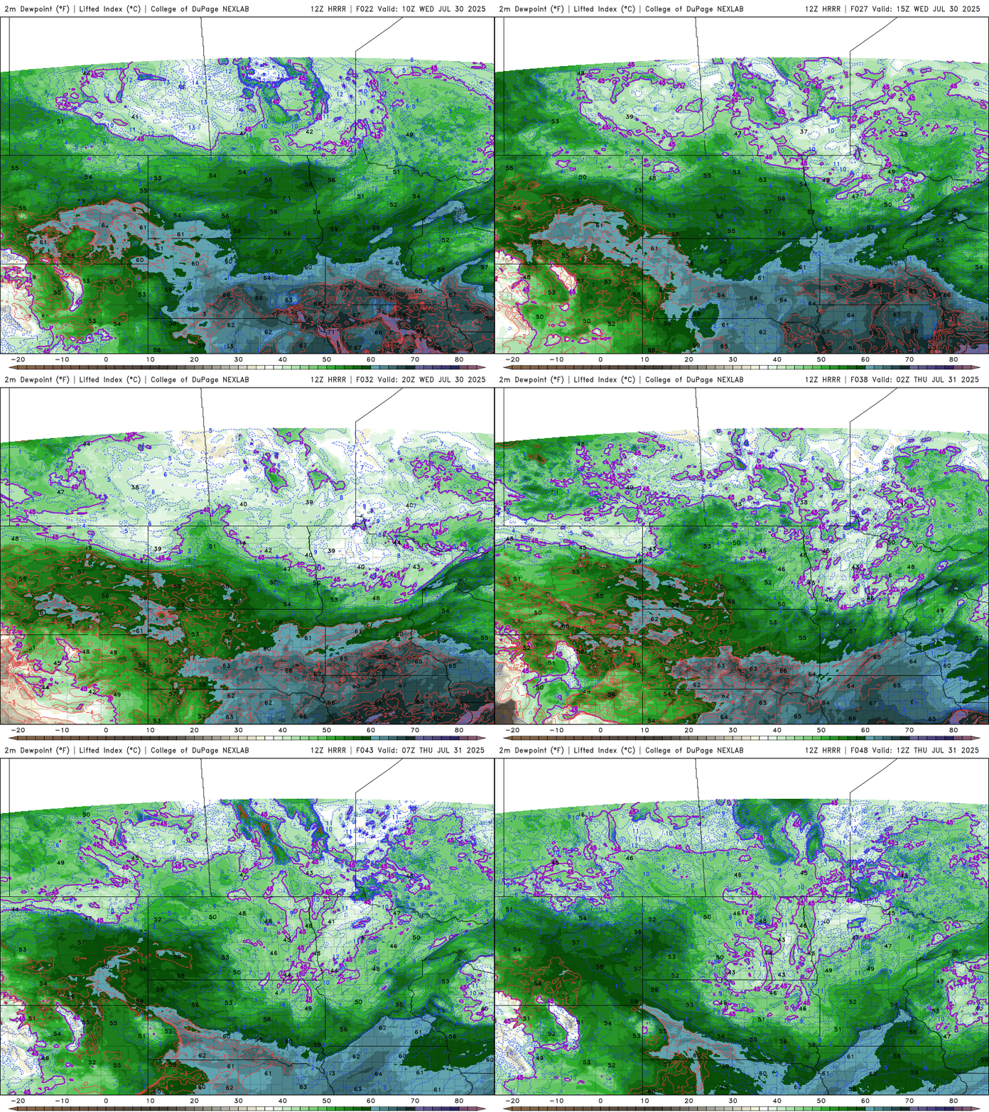
Dew points will continue to fall from north to south, into the 50s and even 40s north. That drier, more comfortable air hangs around into the weekend creating stable conditions and plenty of sun.
The next chance of some isolated thunder develops Sunday or Monday.

