High pressure brings lots of sun, cooler air and smoke
We’ll also be mainly dry until early next week
Go Deeper.
Create an account or log in to save stories.
Like this?
Thanks for liking this story! We have added it to a list of your favorite stories.


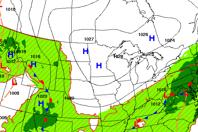
Surface high pressure out of Canada has brought cooler, dry and sunny air but also smoke and poor air quality. We’ll see dry weather until early next week when isolated thunder chances return.
High pressure keeps cool, dry air in place, along with the smoke
Cool high pressure from Canada has brought lots of clear skies, dry and stable weather along with cooler and much less humid air. It helped to make for a chilly morning.
Aitkin saw a morning low early Thursday of 37 degrees. Embarrass reached 39 degrees and International Falls was 41. There were widespread 40s in northeastern Minnesota early Thursday morning.
Afternoon highs will be mostly in the 70s across the state, just a bit below normal for the date.
Turn Up Your Support
MPR News helps you turn down the noise and build shared understanding. Turn up your support for this public resource and keep trusted journalism accessible to all.

Unfortunately, the other thing that rode in on that Canadian high was wildfire smoke. An air quality alert remains through Saturday across almost all of Minnesota as air quality will be unhealthy at times.
Check the latest air quality conditions, alerts and forecasts here:
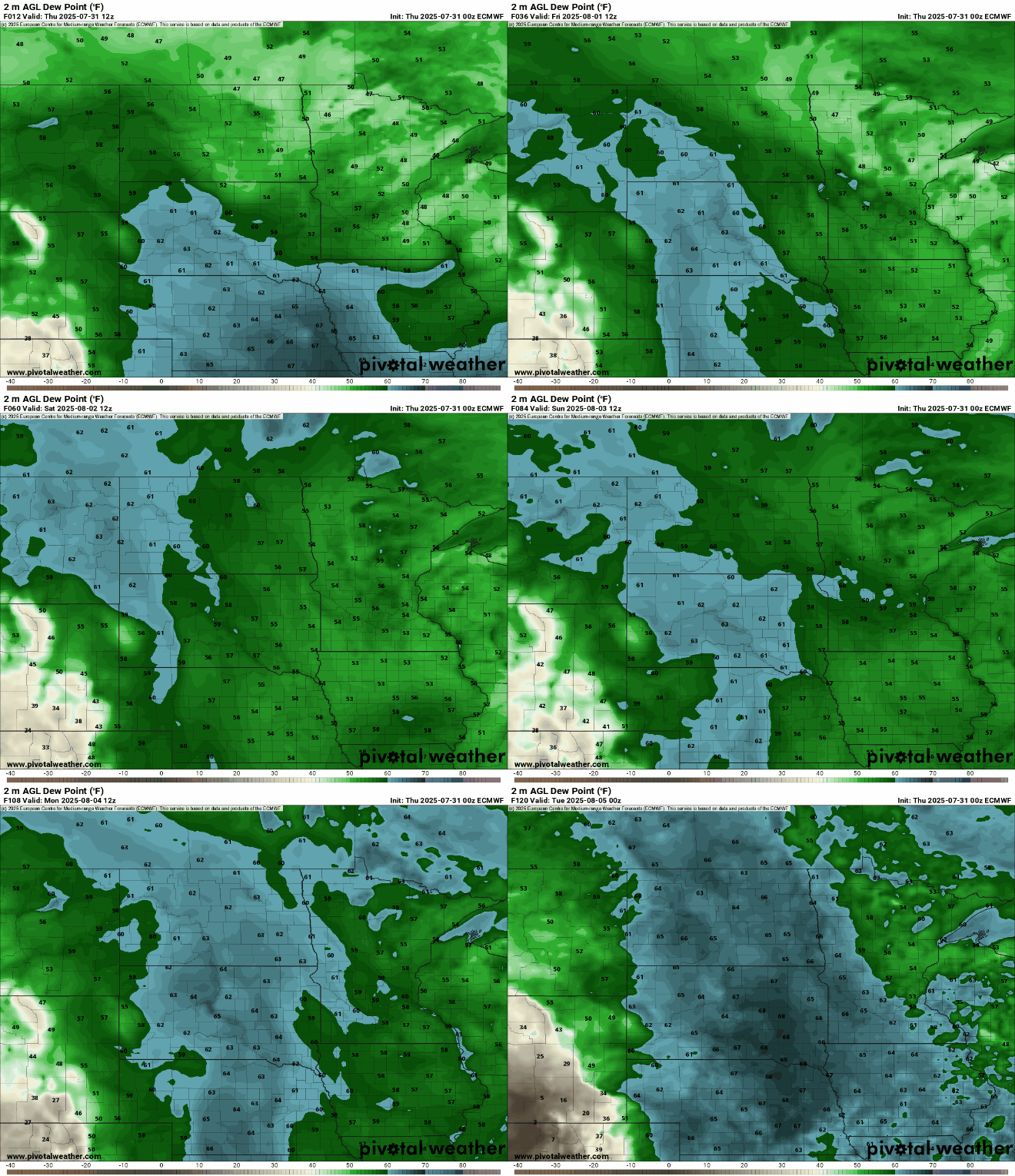
It’ll be another cool, comfortable overnight under clear skies. Overnight lows will be in the 40s for portions of northeastern Minnesota with mostly 50s to near 60 degrees elsewhere.

You can copy and paste the weather for Friday. We’ll have more sun, comfortable air and wildfire smoke. Afternoon highs will again be mostly in the 70s.

Winds will start to come out of the southeast and south Friday night into Saturday as the surface high pressure drifts to the southeast. Until then, the surface high keeps smoke trapped near the surface with light winds and sinking air.
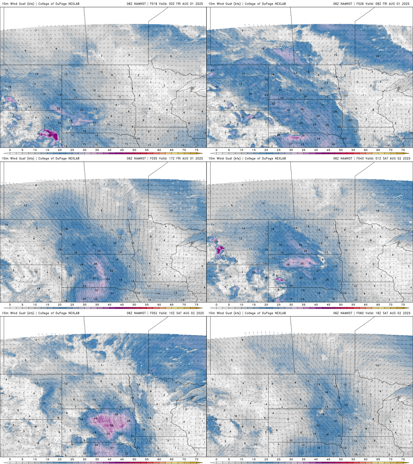
Those south winds should slowly push the wildfire smoke back north and improve air quality over the weekend.
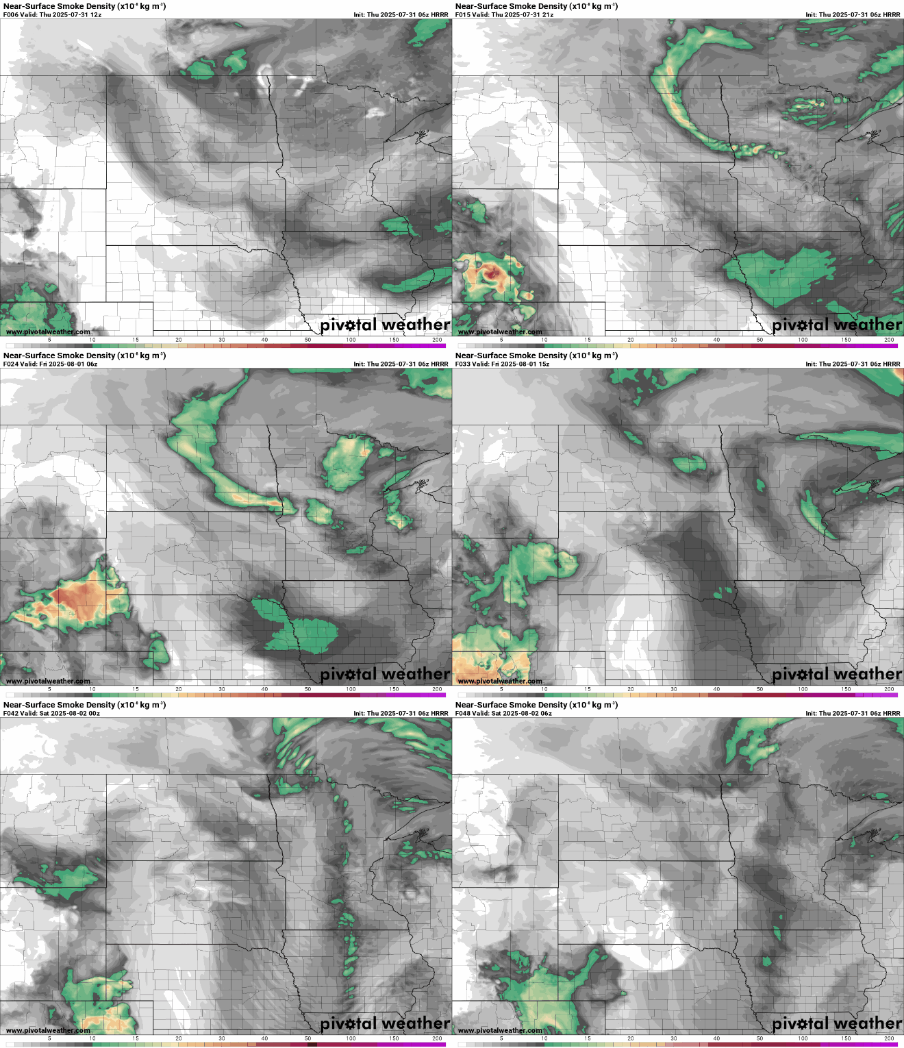
Here’s a forecast for near-surface smoke Thursday through Friday night:
Muggier air also moves in early next week, slowly increasing the chances of at least isolated thunderstorms.