
Trapped under high pressure: Air quality alert through Saturday
High pressure brings cool air and sunny skies

Go Deeper.
Create an account or log in to save stories.
Like this?
Thanks for liking this story! We have added it to a list of your favorite stories.


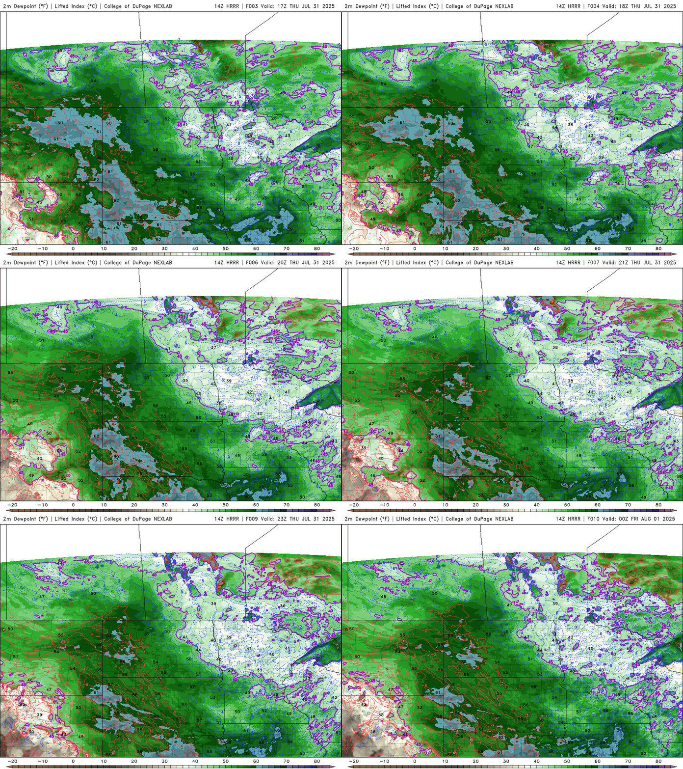
Under the influence of high pressure, we’ll enjoy cooler air and abundant sunshine to end the work week. Highs will reach the mid to upper 70s with comfortable dew points in the 40s and 50s.
Despite the pleasant weather, an air quality alert remains in effect through Saturday due to trapped smoke under the stagnant high-pressure system.
Chilly start to Thursday
It was a chilly start across the Northland, with 6 a.m. temperatures ranging from the upper 30s to lower 40s, thanks to high pressure overhead.

Our cooler Canadian air mass will bring comfortable temperatures Thursday night with lows in the 40s and 50s across the state under continued clear skies.
Turn Up Your Support
MPR News helps you turn down the noise and build shared understanding. Turn up your support for this public resource and keep trusted journalism accessible to all.

Friday brings another comfortable day with temperatures reaching the mid to upper 70s.

Dew points are noticeably lower, sitting in the 40s and 50s.
Air quality concerns through Saturday
Our stagnant high-pressure system will keep smoke particles trapped near the surface until it moves southeast and departs the area.

An air quality alert continues through Saturday, with air quality index readings in the red (unhealthy) category statewide and purple (very unhealthy) for areas along the North Shore.
For more information on air quality alerts and how to protect your health check out MPR News’ recent article.

