
Friday brings another comfortable day with smoky skies
We remain dry through the weekend

Go Deeper.
Create an account or log in to save stories.
Like this?
Thanks for liking this story! We have added it to a list of your favorite stories.


We will continue to be comfortable with cooler temperatures and lower dew points but wildfire smoke will linger into Saturday, reducing air quality. Next week warms up with thunder chances.
Comfortable air mass but smoke lingers into Saturday
Friday will be another comfortable day with slightly cooler temperatures and lower dew points than we’ve been experiencing. Look for abundant sunshine as well. Afternoon highs will be mostly in the 70s once again.

Wildfire smoke continues to linger around the region Friday and should slowly start to dissipate over the weekend as high pressure slides off to the east bring south winds. They’ll be light winds initially though, so don’t look for rapid improvement.
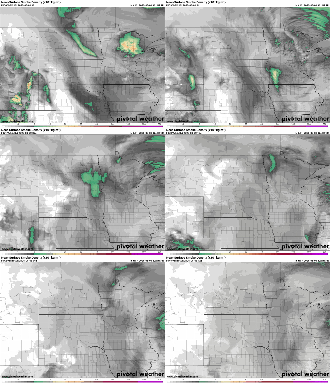
Check the latest air quality conditions, alerts and forecasts here:
The weekend will be more of the same: plenty of sunshine with the comfortable air mass remaining in place. Afternoon highs will be mostly in the 70s to near 80 degrees with overnight lows mostly in the 50s to low 60s.

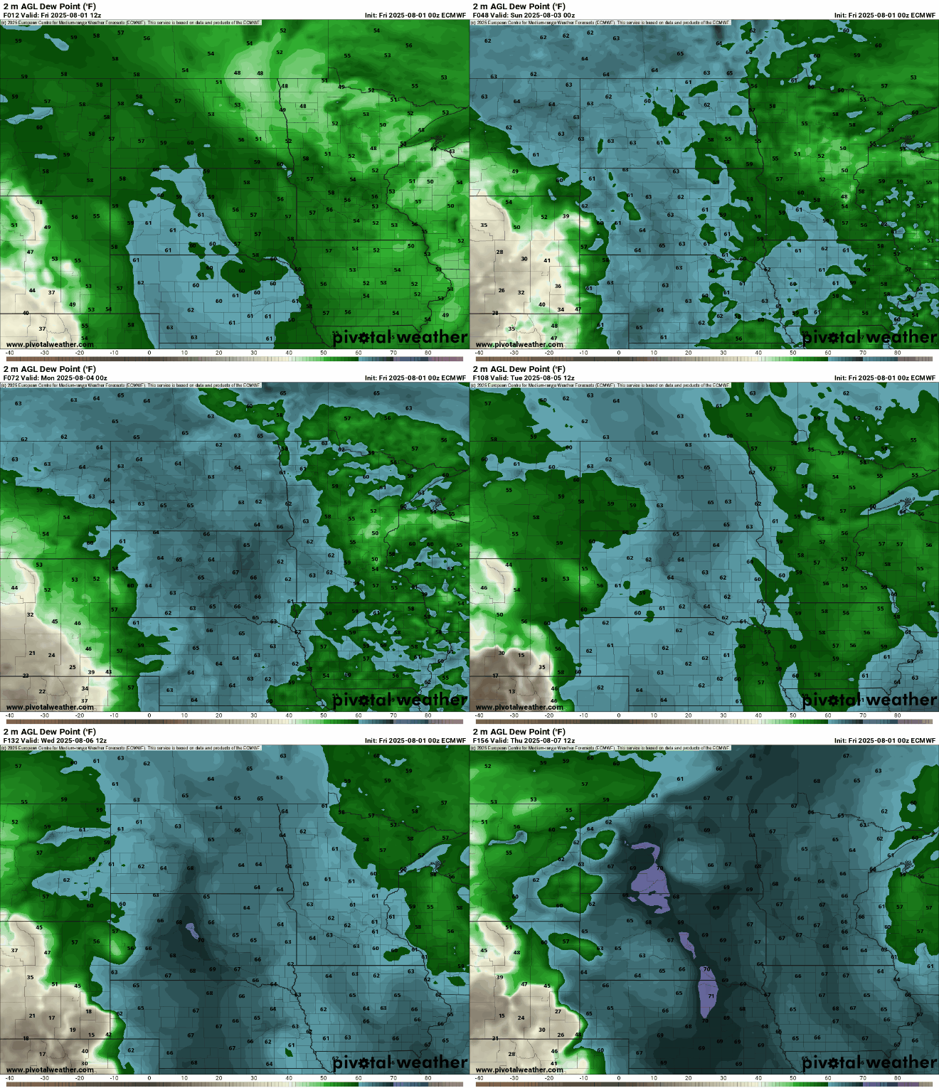
Temperatures and dew points will slowly increase early to mid next week. That will also allow for at least the chances of some isolated thunderstorms to enter the region again.
Turn Up Your Support
MPR News helps you turn down the noise and build shared understanding. Turn up your support for this public resource and keep trusted journalism accessible to all.

