
Smoke begins to ease, but air quality alert remains
Showers possible Sunday across portions of the state

Go Deeper.
Create an account or log in to save stories.
Like this?
Thanks for liking this story! We have added it to a list of your favorite stories.


Air quality alerts remain in effect this weekend, even as smoke conditions begin to improve. Meanwhile, rain chances return Sunday for portions of the state.
Improving air, ongoing alert
Air quality across the state started in the red category Saturday, considered unhealthy for all, but gradual improvement has been noted. By Saturday night, AQI levels had eased into the orange category.
The air quality alert remains in effect until noon Monday, as conditions continue to improve through Sunday.
Turn Up Your Support
MPR News helps you turn down the noise and build shared understanding. Turn up your support for this public resource and keep trusted journalism accessible to all.

Southerly winds helping to clear wildfire smoke will persist through Saturday night, with temperatures dropping into the low 60s out west and the cooler lower to mid-50s in eastern areas.

A slight disturbance will bring chances for showers and thunderstorms to western Minnesota late Saturday night into Sunday. However, the showers are expected to struggle moving eastward due to lingering high pressure near the Great Lakes. Storm chances spread into northern Minnesota for Sunday.
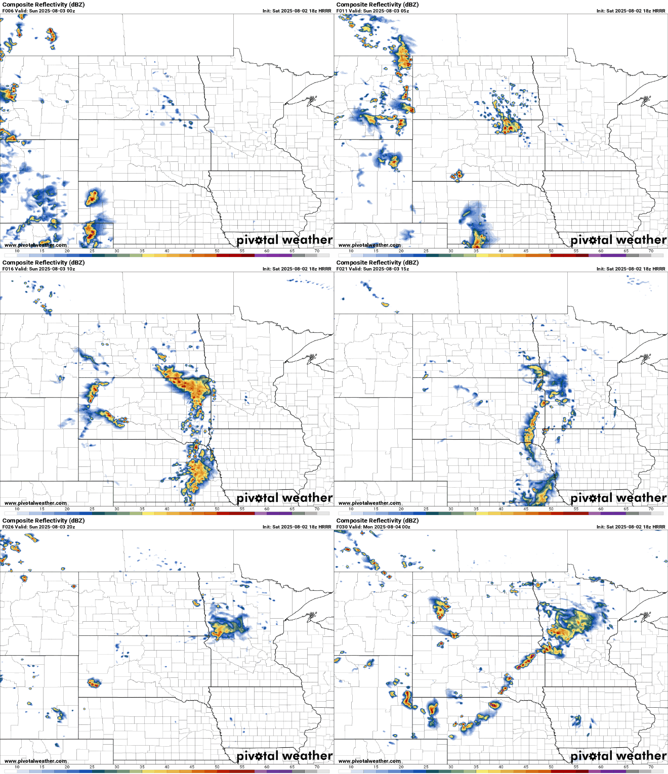
High temperatures on Sunday will be slightly cooler in western Minnesota due to increased cloud cover and rain chances, with lows in the lower 70s out west. Meanwhile, eastern Minnesota will see warmer temperatures in the upper 70s.

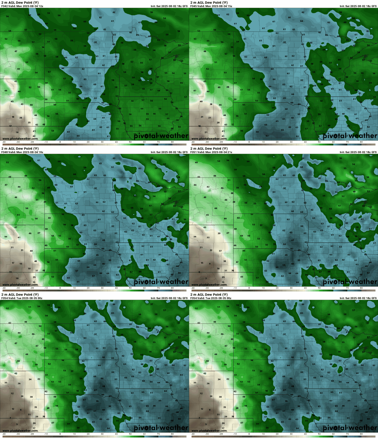
Dew points will rise into the 60s early next week as summer-like temperatures return, reaching into the 80s.
A more active weather pattern will return next week, bringing recurring showers and thunderstorms. While no single day looks like a washout, having an umbrella handy will be useful for the scattered showers that develop.

