
Smoky skies persist, but weekend temperatures stay pleasant
Air quality alert extended until noon Monday

Go Deeper.
Create an account or log in to save stories.
Like this?
Thanks for liking this story! We have added it to a list of your favorite stories.


The weekend will bring hazy sunshine along with comfortable temperatures and dew points, as wildfire smoke slowly begins to clear. Rain chances return by Sunday.
Air quality alert extended
This weekend would be absolutely pleasant—if only we didn’t have to breathe the air.
An air quality alert remains in effect through noon Monday, as wildfire smoke continues to blanket the region. The smoke has now spread as far south as Kansas and Missouri, complicating how quickly we can expect clearer skies.
Turn Up Your Support
MPR News helps you turn down the noise and build shared understanding. Turn up your support for this public resource and keep trusted journalism accessible to all.

While high pressure moves east, the return flow on its backside will pull southerly winds into Minnesota, dragging that southern smoke right back our way and delaying the cleanout.
Sunday’s air quality is expected to improve slightly, shifting into the orange category, still considered unhealthy for sensitive groups.

Weekend forecast
Hazy sunshine will help keep temperatures slightly cooler as smoke reflects some of the sun’s rays. Saturday’s highs are expected to warm into the mid to upper 70s, with a chance of reaching 80 degrees in the metro area.

Dew points remain comfortable all weekend in the 50s.
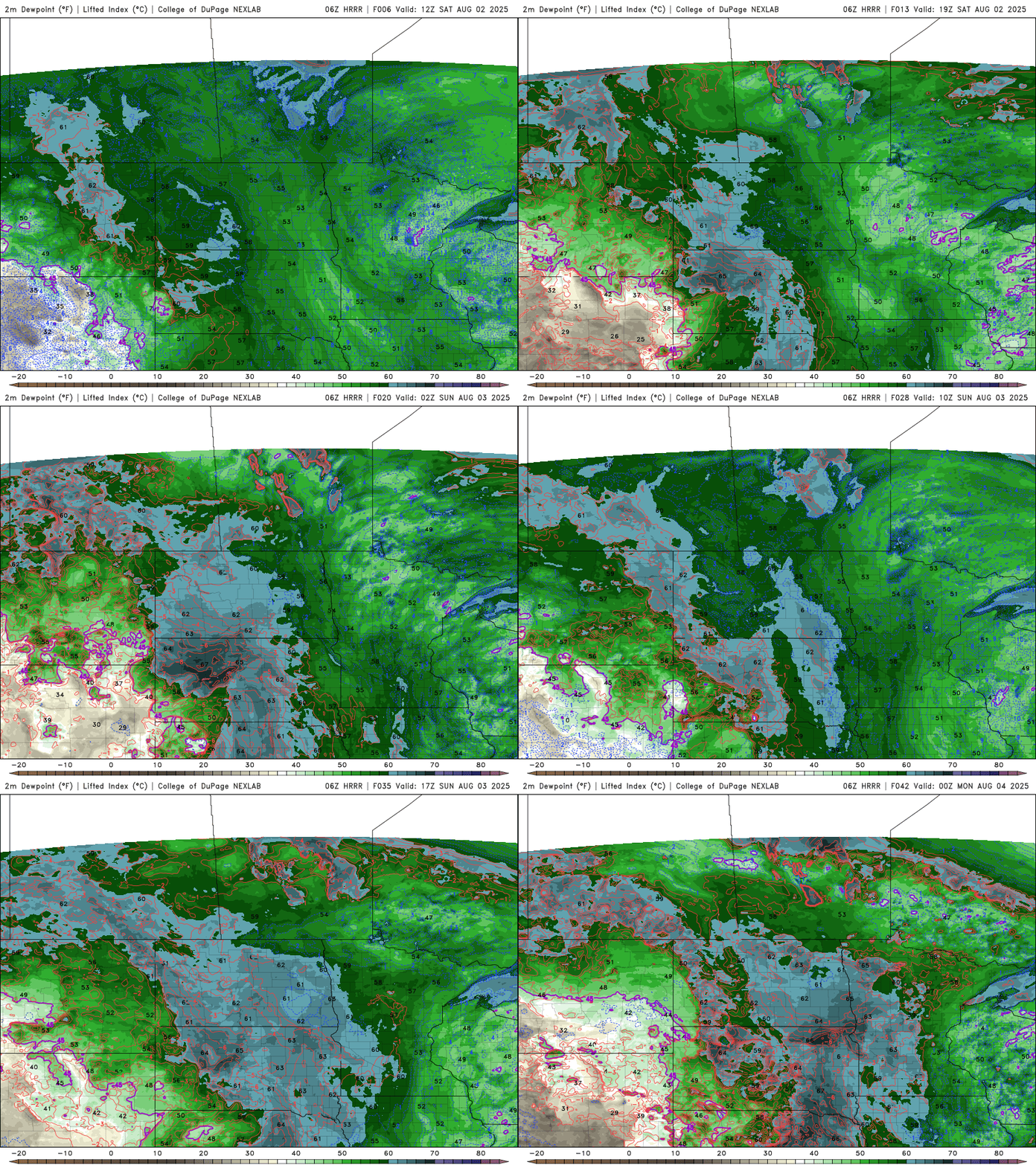
A weaker disturbance will pass through the Northern Plains Sunday into early next week, providing enough lift for isolated showers and thunderstorms. The best chances for precipitation will be in western Minnesota at first, before the system moves eastward early in the workweek, spreading shower chances farther into the region.
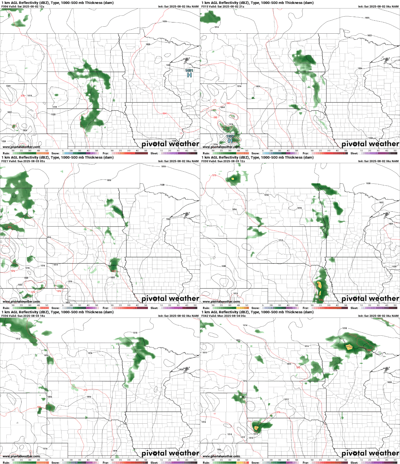
Sunday’s temperatures will be similar to Saturday’s, with highs in the 70s. Western Minnesota will be slightly cooler, thanks to increased cloud cover and a chance of isolated showers.

Next week, temperatures will gradually warm into the 80s, accompanied by a slow return of dew points in the 60s. While there will be more chances for showers and thunderstorms throughout the week, they won’t be widespread—giving Minnesota a chance to dry out after a wet July.


