
Comfort turns to clammy as heat and humidity return
Sticky 60s and 70s return as dew points climb midweek

Go Deeper.
Create an account or log in to save stories.
Like this?
Thanks for liking this story! We have added it to a list of your favorite stories.


A comfortable start to the week will give way to increasing humidity, with dew points climbing into the sticky 60s and 70s by midweek. Air quality is gradually improving, but alerts remain posted for parts of the region.
Conditions improve for most
As of late Sunday afternoon, air quality levels across the state were mostly in the yellow or moderate category, with a few isolated pockets still reporting conditions in the orange category.

The Minnesota Pollution Control Agency has lifted the alert for southeastern parts of the state, while the remainder of the alert remains in effect until noon on Monday.
Turn Up Your Support
MPR News helps you turn down the noise and build shared understanding. Turn up your support for this public resource and keep trusted journalism accessible to all.
Cloud cover will persist into Sunday night as temperatures drop into the upper 50s to lower 60s.

Sunday night into Monday, showers and isolated thunder will persist across western, central, and northern parts of the state. A stray shower or two may push eastward, but most of the precipitation will stay farther west.
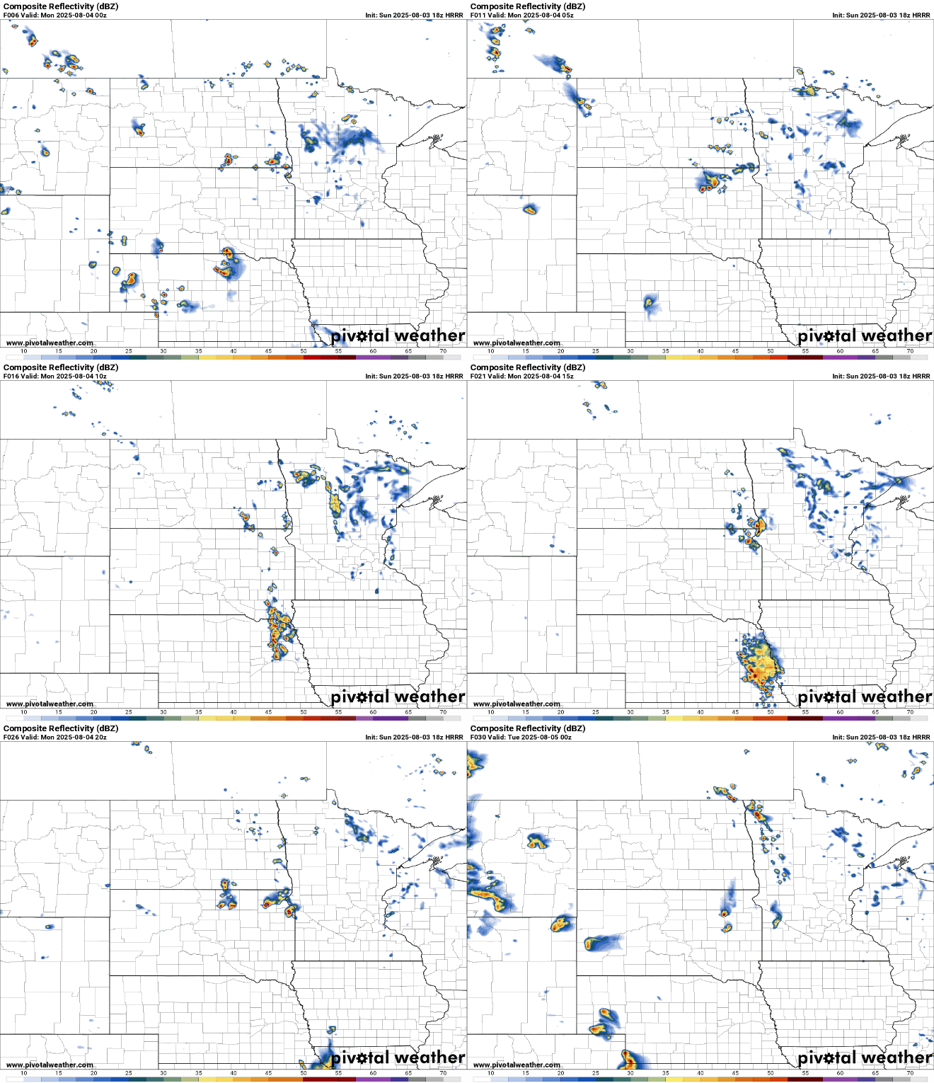
Monday’s temperatures will stay just a hair below seasonal averages, with highs in the upper 70s to around 80 degrees. Lingering cloud cover is expected from our nearly stationary disturbance.

Plenty of sunshine in the forecast for Tuesday with a repeat in temperatures in the upper 70s to low 80s.
Heat and humidity will build back into the forecast through the week, with 90s returning by Thursday and Friday and the potential for some stronger storms as well.

Our dew points will return to the sticky to oppressive range, proving once again that summer is far from over.


