
Improving air quality with increased cloud cover with wetter conditions
Air quality alert remains in effect until noon on Monday

Go Deeper.
Create an account or log in to save stories.
Like this?
Thanks for liking this story! We have added it to a list of your favorite stories.


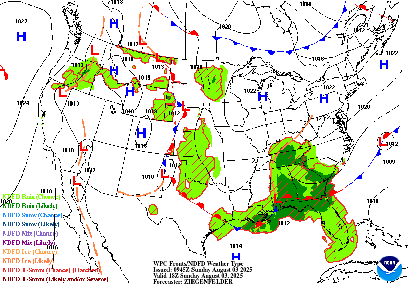
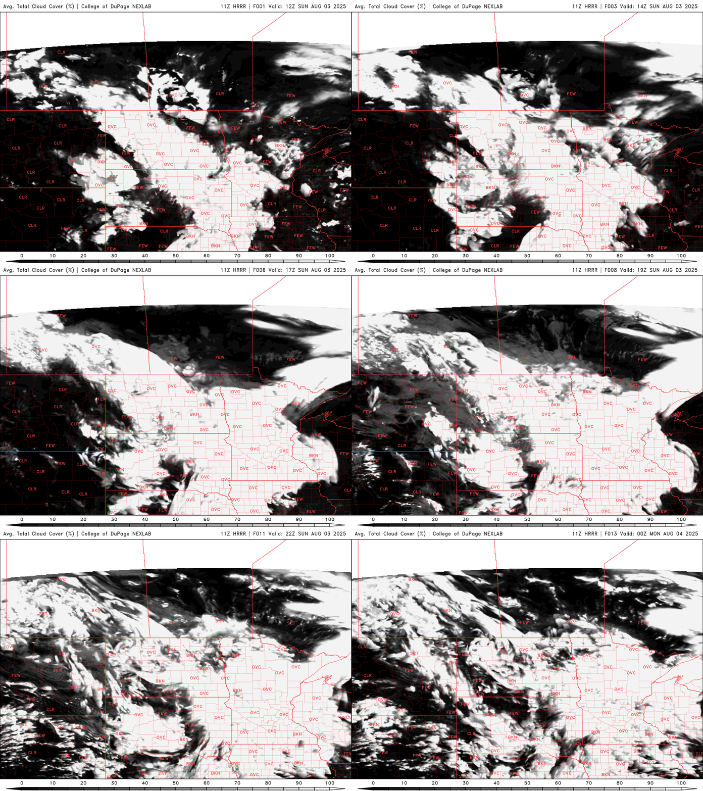
Conditions continue to improve across the state today as wildfire smoke gradually clears. However, an air quality alert remains in effect until noon on Monday. Cloud cover will increase statewide, with rain chances limited to the western half of the state.
Breathe a bit easier
Our air quality continues to improve, thanks to southerly winds on the backside of a high-pressure system moving over the Great Lakes.
By Sunday morning, air quality conditions were in the yellow (moderate) and orange (unhealthy for sensitive groups) categories, a significant improvement from Saturday's unhealthy red-level readings.
Despite the improvements, the air quality alert remains in effect until noon on Monday.
Turn Up Your Support
MPR News helps you turn down the noise and build shared understanding. Turn up your support for this public resource and keep trusted journalism accessible to all.

Temperatures will be slightly below average this Sunday, with highs in the mid to upper 70s to around 80 degrees

It will be cooler out west with the increasing cloud cover and ongoing rain showers. We’ll see the cloud cover slowly progress eastward throughout the day.
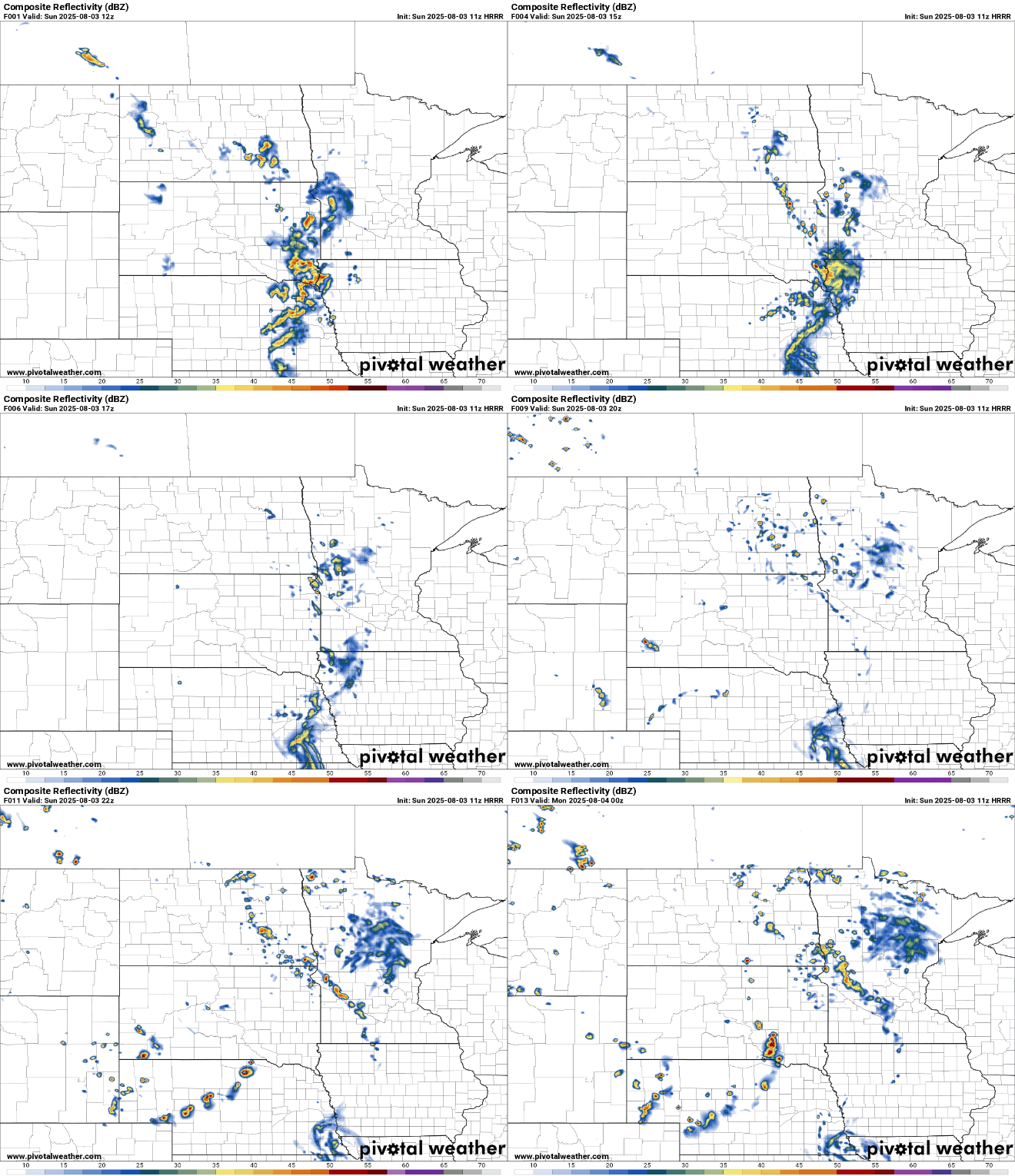
A nearly stationary disturbance will continue to bring scattered showers and thunderstorms to the western half of the state. By Sunday night into Monday, some of these storms could strengthen slightly, though the overall threat for severe weather remains minimal.
Hot and humid next week
The start of the work week will remain comfortable, with highs in the upper 70s to low 80s and a mix of sunshine. Showers and thunderstorms will stay confined to the western portions of the state.
By mid-week, our hot and humid summer pattern returns. Dew points will climb back into the 60s and lower 70s, making things feel more muggy. Daily chances for afternoon and evening (diurnal) thunderstorms are expected from Wednesday through Saturday, as temperatures heat up into the 90s by Thursday and Friday.


