
Spotty shower and thunder chances with increasing heat, humidity
Friday could bring triple-digit heat indices

Go Deeper.
Create an account or log in to save stories.
Like this?
Thanks for liking this story! We have added it to a list of your favorite stories.


Some spotty showers and thunder are possible Wednesday. Dew points will continue to rise, making for a hot Thursday and Friday. Better chances of thunder develop Friday night into Saturday.
Spotty thunder chances with increasing dew points and temperature
A dwindling area of showers continues to move east in northeast Minnesota and southeast Minnesota into western Wisconsin Wednesday morning. Isolated to spotty thunder is again possible later in the day, especially across northeast Minnesota.
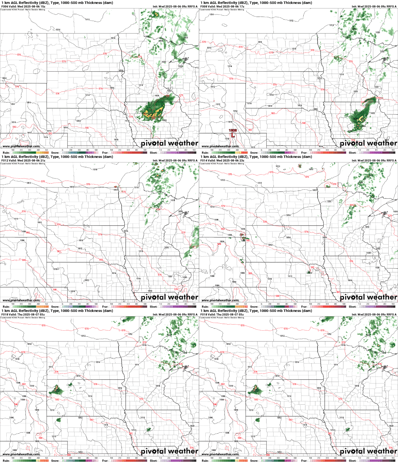
Afternoon highs Wednesday will be in the low to mid-80s across southern and western Minnesota with 70s north with a mix of clouds and sun as morning clouds decrease.

Wildfire smoke continues to make the air quality unhealthy at times for northeast Minnesota and northern Wisconsin.
Turn Up Your Support
MPR News helps you turn down the noise and build shared understanding. Turn up your support for this public resource and keep trusted journalism accessible to all.
Check the latest air quality conditions, alerts and forecasts here:
It gets even steamier Thursday and Friday. Dew points will climb into the low 70s for most of central and southern Minnesota Thursday into Saturday morning.
Combine those dew points with afternoon highs in the upper 80s and low 90s Friday and that means Friday afternoon heat indices could be in the 95 to 100 degree range.
Most shower and thunderstorm chances will be isolated to spotty Wednesday night into Thursday and Friday, but a better, more widespread chance of scattered storms develops Friday night into Saturday as a weak cool front moves in.
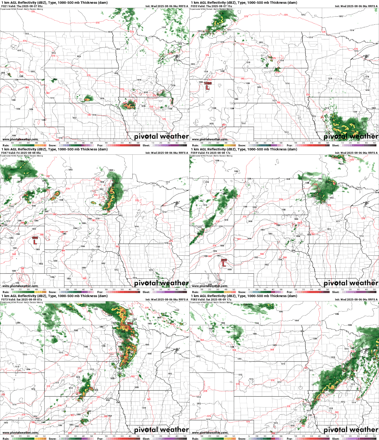
The risk of severe weather will grow over the next few days. There’s already a potential for severe storms Friday night into Saturday, especially for the western half of Minnesota where a slight (level 2 of 5) to enhanced (level 3 of 5) risk is forecast.

Temperatures and dew points will only drop slightly for Sunday and Monday behind Saturday’s weak cool front. Northern Minnesota will get a bit more relief.

