
Steamy and stormy setup: severe weather possible
Heat advisories continue as storm threat looms

Go Deeper.
Create an account or log in to save stories.
Like this?
Thanks for liking this story! We have added it to a list of your favorite stories.


Steamy heat continues to blanket the region, with heat indices topping 100 degrees possible. Later this evening and tonight, that same hot and humid air could fuel strong to severe thunderstorms.
Steamy and stormy Friday
Sultry conditions will bring temperatures into the upper 80s to low 90s across southern Minnesota. Meanwhile, northern Minnesota will remain cooler, thanks to lingering cloud cover from early Friday morning storms.

As more cloud cover clears this afternoon, temperatures will really heat up. By 11:30 a.m., dew points were already showing oppressive readings in the low 70s across several locations.
Turn Up Your Support
MPR News helps you turn down the noise and build shared understanding. Turn up your support for this public resource and keep trusted journalism accessible to all.

A heat advisory is in effect for parts of the state until 9 p.m., as high temperatures combined with muggy dew points create potentially dangerous conditions.

Heat indices are expected to soar between 95 and 103 degrees, increasing the risk of heat-related illnesses throughout the advisory period.

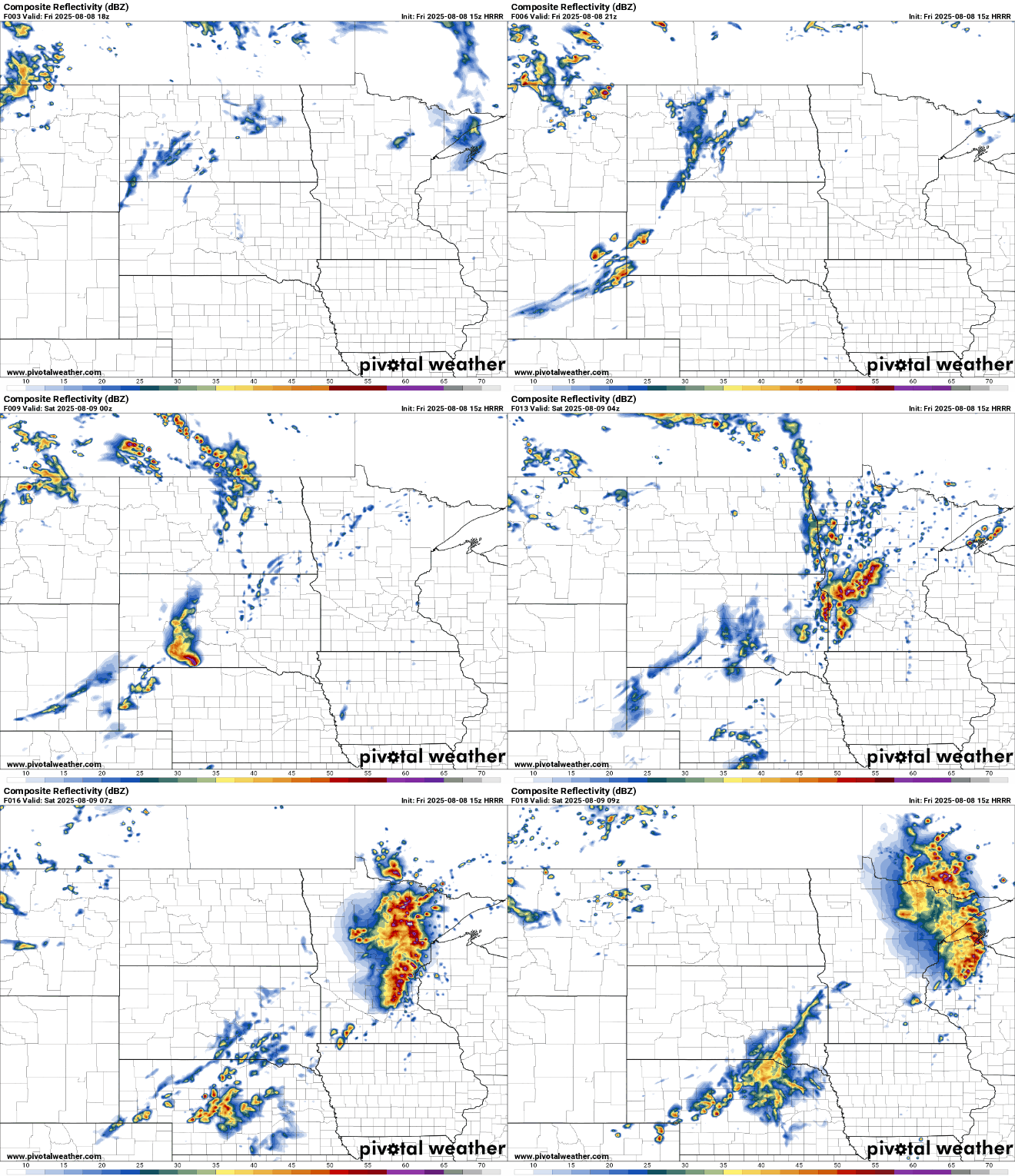
The intense heat is adding fuel to the atmosphere, setting the stage for strong to severe thunderstorms later today. Scattered severe thunderstorms are possible across the state this evening and overnight, with threats including damaging winds, large hail, and a few tornadoes.

A slight risk for severe weather covers much of the state, except for the northwest and southeast corners. The greatest storm impacts are expected across central and northern Minnesota.
Scattered thunderstorms are expected to develop ahead of a cold front, mainly after 6 to 7 p.m. Some initial supercells are possible, but forecast models suggest the storms will organize into a line as they push east and northeast through the evening.
More comfortable conditions are on the way this weekend, as temperatures ease into the 70s and 80s and dew points dip back into the 60s.

