
Humidity eases up: dew points dropping, skies brightening
Seasonal temperatures expected through the weekend
Go Deeper.
Create an account or log in to save stories.
Like this?
Thanks for liking this story! We have added it to a list of your favorite stories.


After a stretch of hot and sticky weather, relief is finally here for the weekend. Dew points and temperatures will drop, making it feel more comfortable across the region. Storms and lingering cloud cover will stay confined to our southeast, allowing for brighter skies and drier air to settle in.
Comfortable weekend ahead
Friday brought our 11th 90 degree day of the season and tied a record high dew point in the Twin Cities at 76 degrees, making for an especially oppressive afternoon and evening. But a breath of fresh air is on the way, as a cold front continues to push across the state, bringing cooler, drier, and more comfortable air just in time for the weekend.
This cold front brought some heavy rainfall, hail, and strong winds to portions of the state early Saturday morning. Some impressive rainfall amounts were recorded, including:
Turn Up Your Support
MPR News helps you turn down the noise and build shared understanding. Turn up your support for this public resource and keep trusted journalism accessible to all.
Trail— 2.68 inches
Howard Lake— 2.46 inches
Cotton—2.29 inches
Roseville— 2.06 inches
Plymouth—1.93 inches
Ely— 1.80 inches
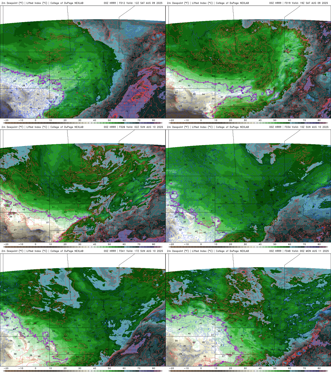
Dew points will continue to drop into the 50s across northern Minnesota and into the 60s farther south, bringing a noticeable improvement in comfort. However, areas in southeastern Minnesota may hang onto some stickier air, with dew points lingering in the 70s, as the cold front begins to slow down and stall near the region.
Cloud cover will gradually clear from west to east on Saturday, following the passage of the cold front.
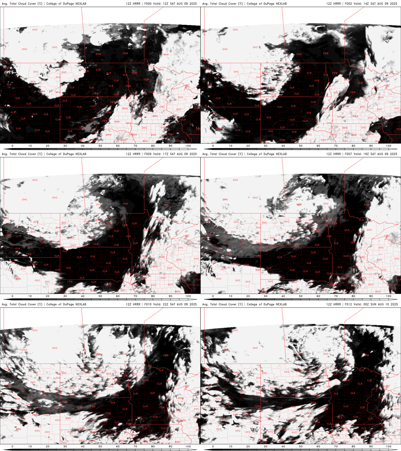
Temperatures will rebound to near-seasonal levels on Saturday, reaching the upper 70s to low 80s across the region.

As the cold front stalls near the Iowa border, an additional chance for storms will develop across southeastern Minnesota into western Wisconsin. A slight risk for severe weather remains in this area, with the potential for hail, strong winds, and heavy rainfall.

Mostly sunny skies are expected on Sunday, with temperatures climbing into the upper 70s to low 80s across much of the region.


