
Cooler, less humid Tuesday and Wednesday before heat, humidity return
Active pattern returns late week

Go Deeper.
Create an account or log in to save stories.
Like this?
Thanks for liking this story! We have added it to a list of your favorite stories.


It’ll be cooler and less humid Tuesday and Wednesday behind Monday night’s front. Heat and humidity return late week, increasing the chance of storms.
A bit cooler, less humid Tuesday and Wednesday
It’ll be cooler and less humid Tuesday and Wednesday in the wake of Monday night’s cool front. Highs will range from the low 70s north to the low 80s south.

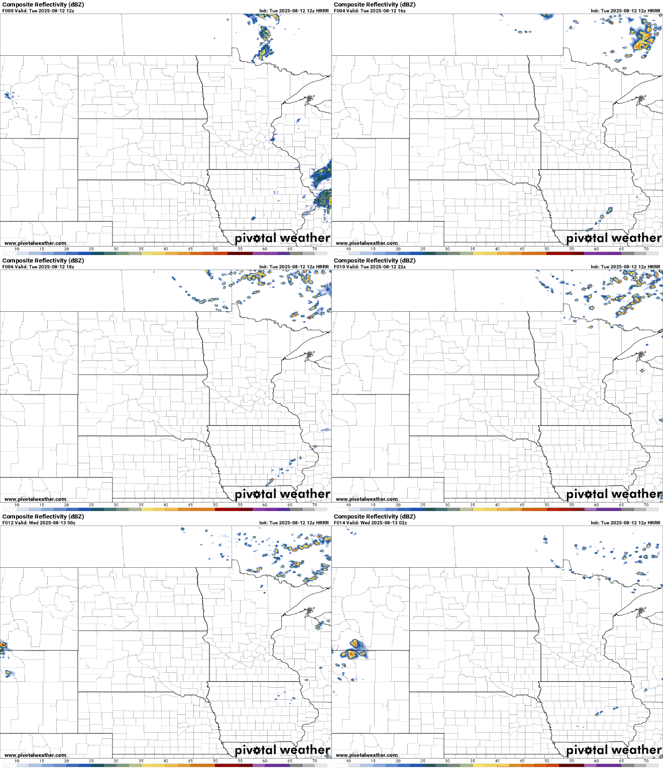
There could yet be a few spotty showers or thunderstorms popping up for northeastern and southeastern Minnesota Tuesday with lingering instability .
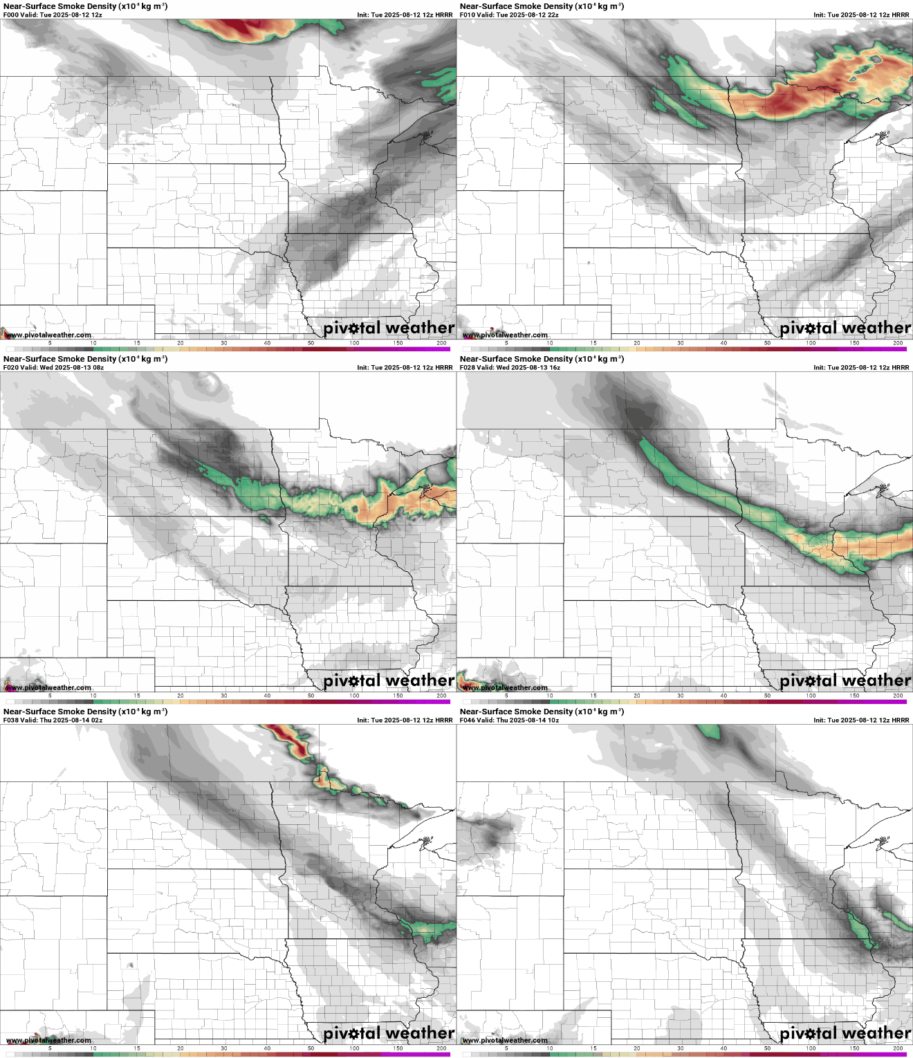
Air quality should improve Tuesday morning across central and southern Minnesota, but more smoke will blow into northern Minnesota later in the day once again into Wednesday morning.
Turn Up Your Support
MPR News helps you turn down the noise and build shared understanding. Turn up your support for this public resource and keep trusted journalism accessible to all.
Air quality alerts have been extended through Wednesday for northeast Minnesota. Some smoke may even make it to the Twin Cities and southern Minnesota.
Check the latest air quality conditions, alerts and forecasts here:
It’ll be a comfortable overnight thanks to the drier air and clear skies. Lows will drop into the 50s for most with pockets of 40s in northern Minnesota.

Wednesday will yield more sunshine and comfortable temperatures, mostly in the 70s to low 80s and dew points still in the 50s.

The heat and humidity start to move back in Thursday and Friday. Dew points will again climb into the low 70s and the chance of thunderstorms increases.
We could see the first chance of storms as early as late Wednesday night and Thursday morning, especially across northern and western Minnesota.
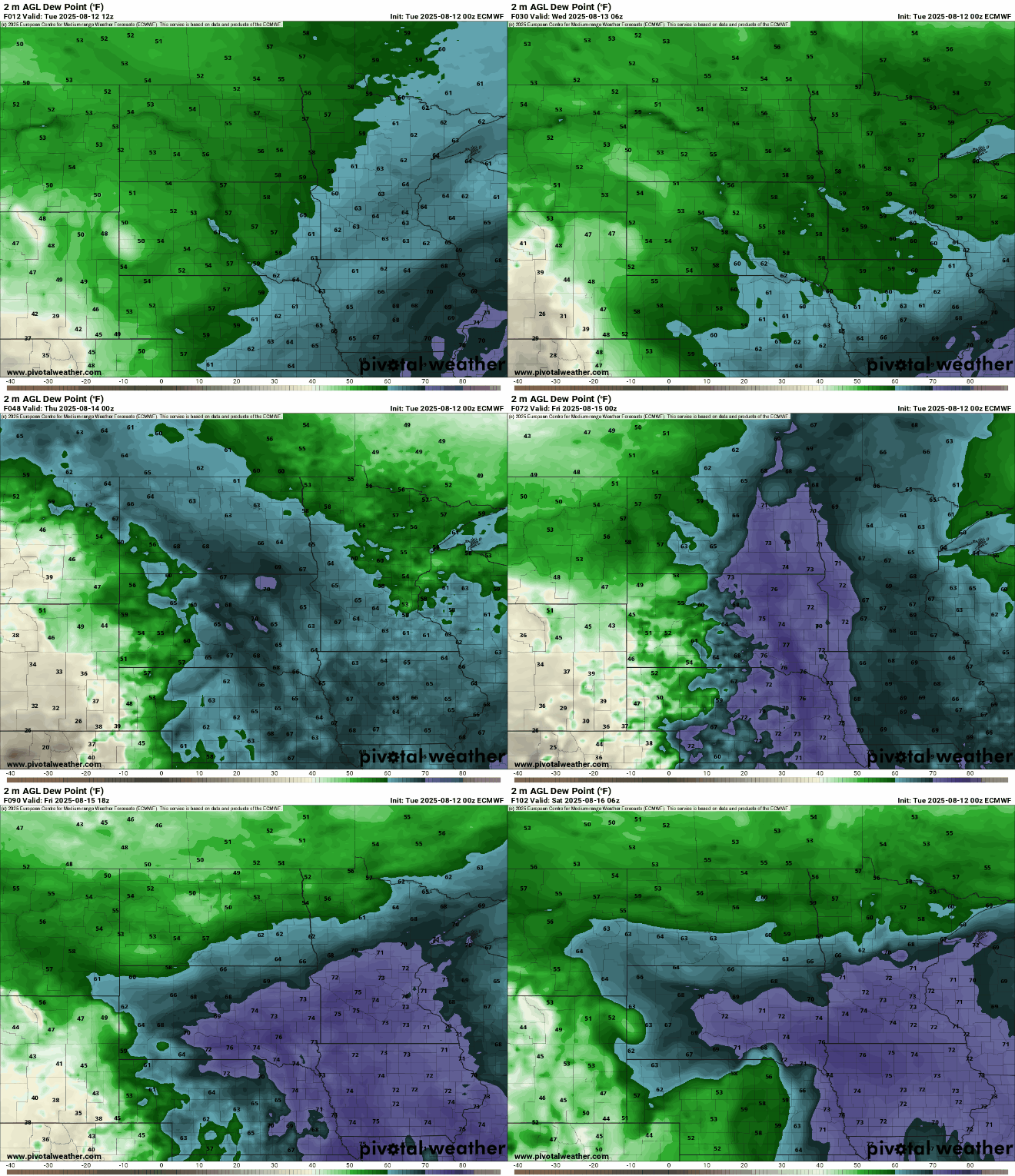
Highs by Friday will be in the upper 80s to near 90 degrees for some.

Better chances of thunderstorms statewide develop Friday night and Saturday night into Sunday and Monday potentially. There will be the possibility of heavy rainfall with storms that do develop.

