
Humid air, stalled front setting the stage for heavy rainfall risk
Several rounds of thunderstorms could add up

Go Deeper.
Create an account or log in to save stories.
Like this?
Thanks for liking this story! We have added it to a list of your favorite stories.


We have tropical dew points back over the region into the weekend. Friday will be hot and humid for southern Minnesota. Several rounds of thunderstorms will add up this weekend.
Humid air, stalled front may spawn heavy rain
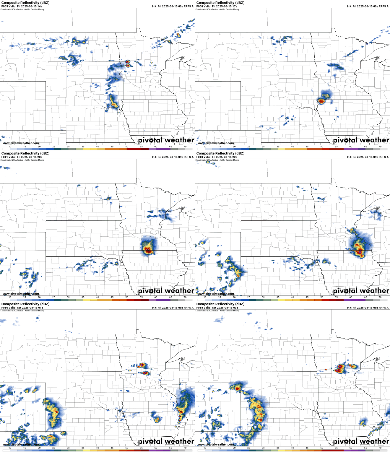
There will be some spotty showers and thunder moving across central and northern Minnesota Friday morning and midday. More spotty storms could develop late Friday afternoon and evening ahead of more activity overnight.
There is a slight risk (level 2 of 5) of severe storms Friday into Friday night also across southeast Minnesota.

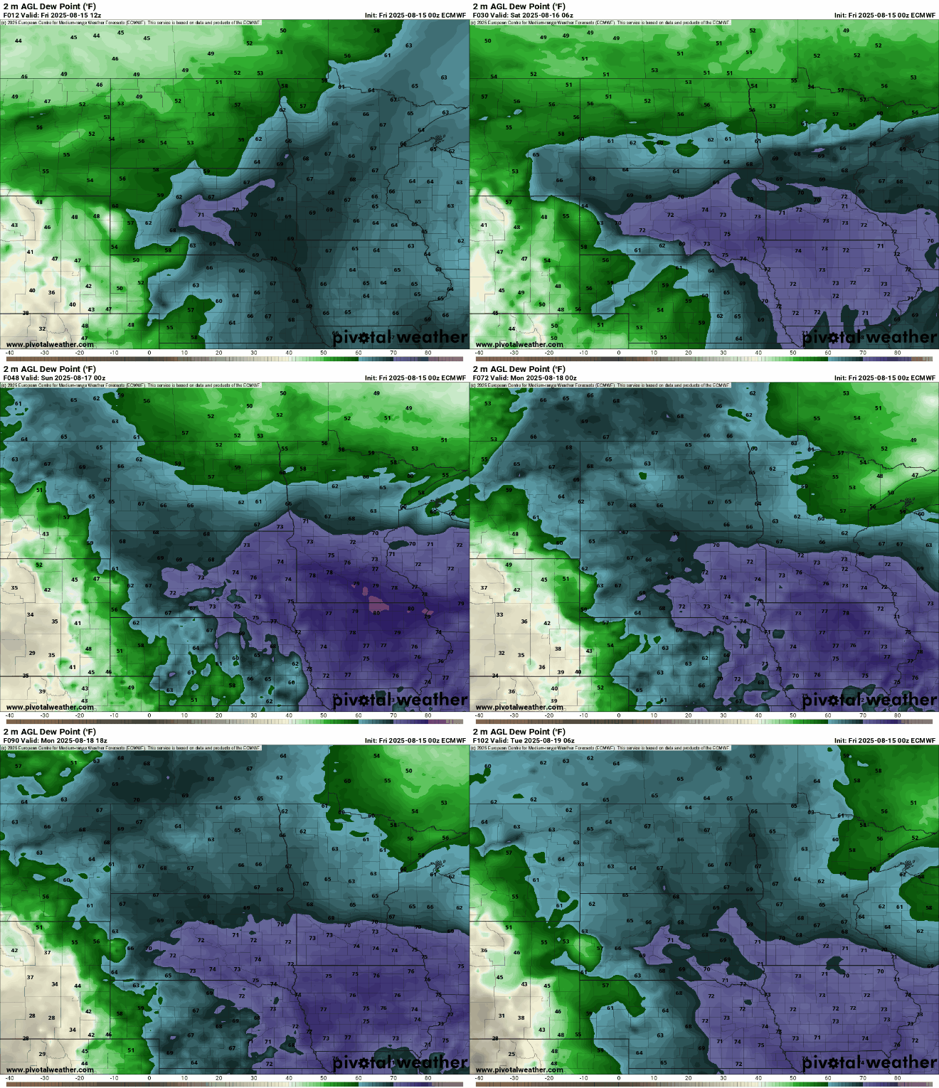
It will be a steamy day Friday across central and southern Minnesota. Afternoon highs will be near 90 degrees across southern Minnesota with dew points in the low 70s, making for heat indices up to 95 degrees.
Turn Up Your Support
MPR News helps you turn down the noise and build shared understanding. Turn up your support for this public resource and keep trusted journalism accessible to all.

The humid air will hang around through the weekend into early next week, providing ample fuel for showers and thunderstorms with the potential for heavy rainfall.
More thunderstorms will develop Friday night into early Saturday across particularly central and southeastern Minnesota into western Wisconsin.
There’s a slight risk of excessive rainfall across much of central and southeastern Minnesota into western Wisconsin Friday into Friday night.
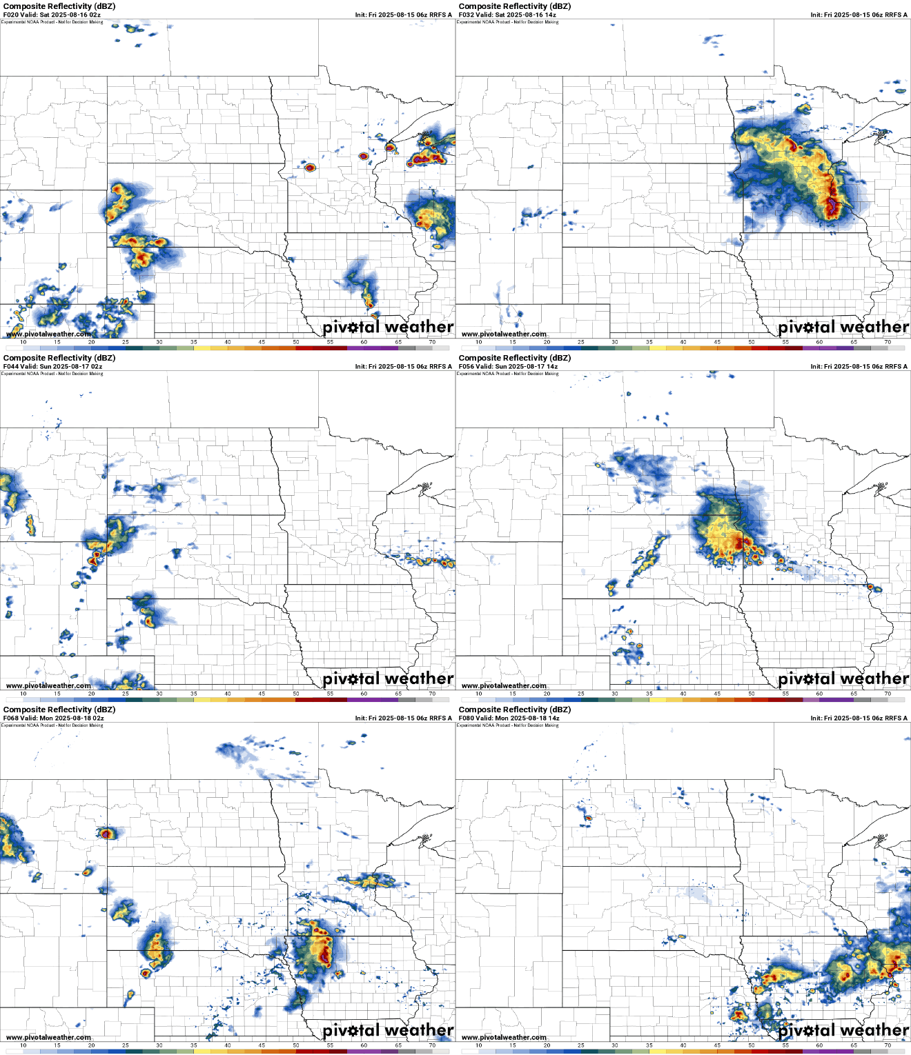
A repeat of Friday night’s setup may occur Saturday and Sunday nights into the following mornings. Multiday rainfall totals could add up to more than 2 to 4 inches in some spots through Monday night with locally higher amounts possible.

There’s a slight risk of excessive rainfall again Saturday into Saturday night across east-central Minnesota into western Wisconsin.

Conditions finally dry out and calm down Tuesday into the remainder of next week. Dew points will drop slightly and the pattern will be a more settled one. Late next week may even bring some cooler air and comfortable dew points in the 50s.

