Continued showers keep flood watch active into early Monday
End of rain in sight, drier days ahead

Go Deeper.
Create an account or log in to save stories.
Like this?
Thanks for liking this story! We have added it to a list of your favorite stories.


Continued showers will keep a flood watch active into early Monday, but the rain is expected to taper off later in the day. Drier conditions and sunshine are forecast to return by Monday afternoon, bringing some relief after a really soggy stretch.
Flood watch through midmorning
Our last round of showers will continue to raise flooding concerns in areas that already received heavier rainfall over the weekend. Rain will continue across the southern half of the state until around midday.
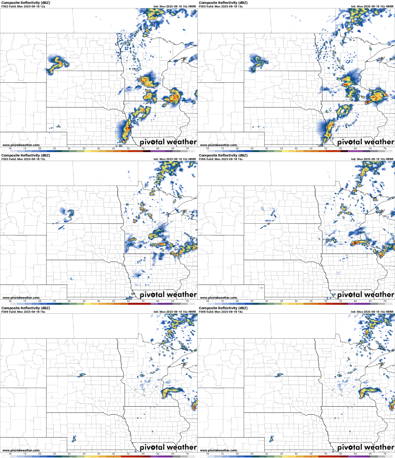
A flood watch remains in effect for the eastern parts of the state, including the Twin Cities metro area, until 10 a.m.
Turn Up Your Support
MPR News helps you turn down the noise and build shared understanding. Turn up your support for this public resource and keep trusted journalism accessible to all.
Drier weather moves in behind the showers, with clearing skies gradually spreading in from the southwest.
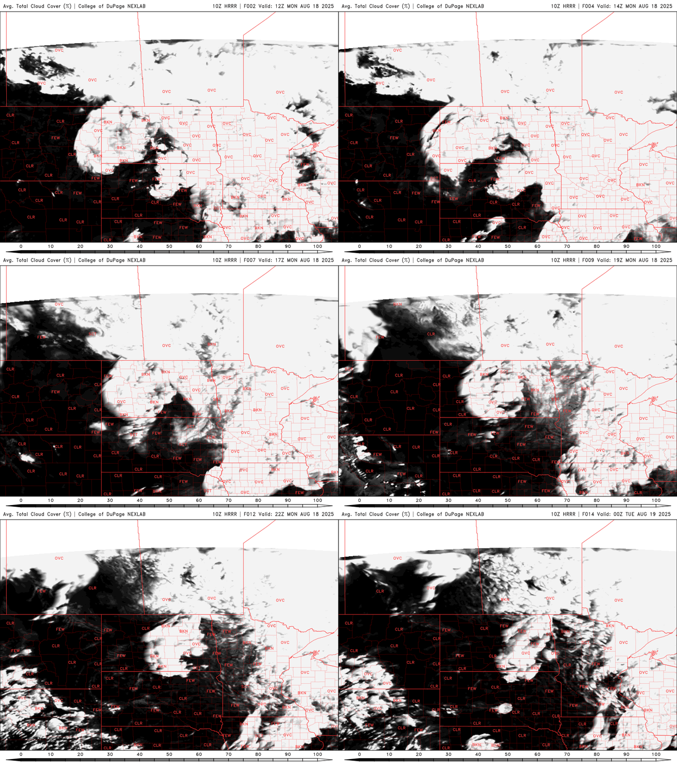
Temperatures will remain seasonal throughout the work week with highs on Monday reaching the 70s and 80s.

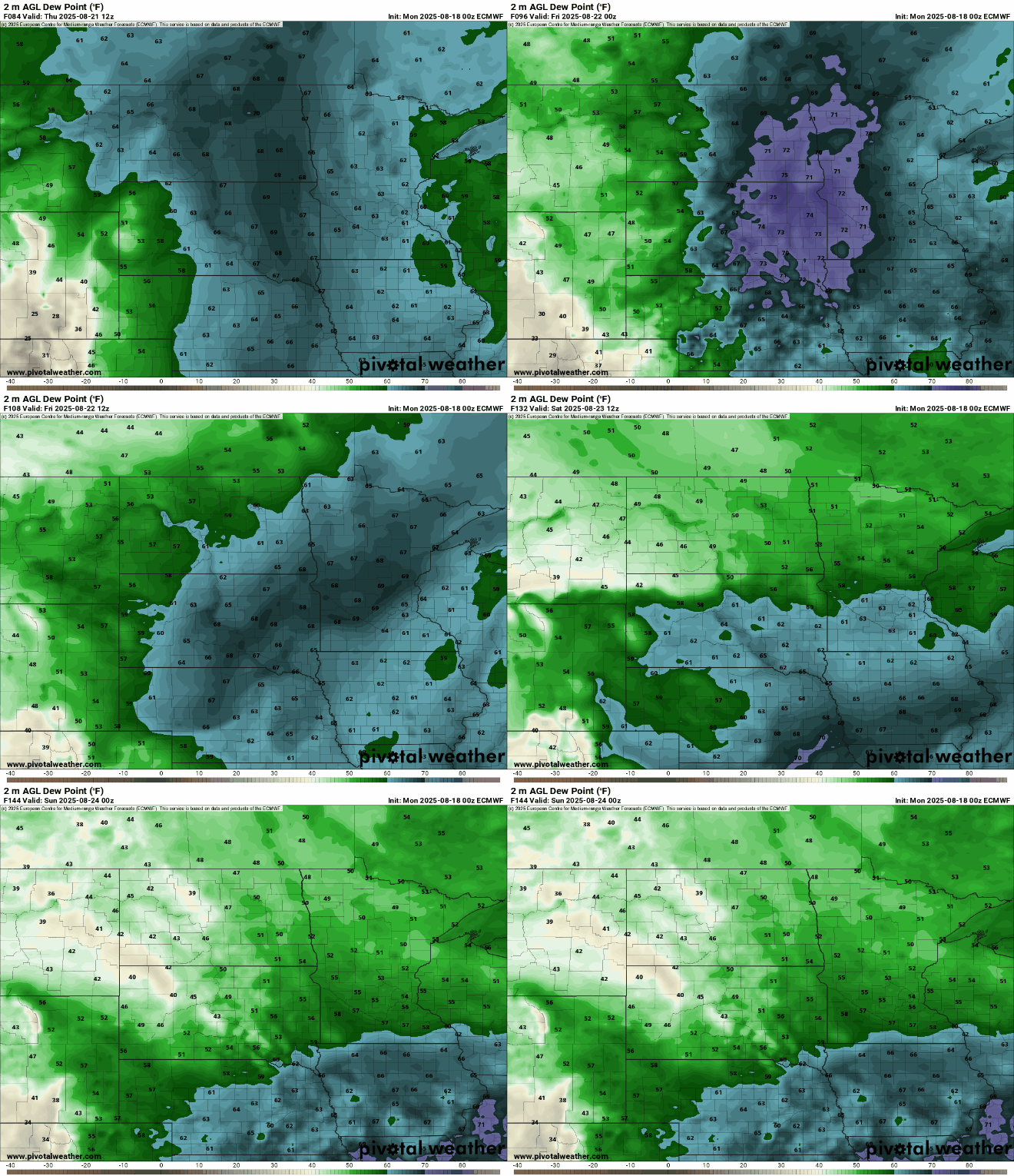
High pressure will bring plenty of sunshine this week, leading to an extended stretch of dry weather. A weak cold front is expected later in the week, dropping dew points into the 50s by the weekend!