Southern Minnesota soaked: 2 months of rain in just days
Heavy rainfall poses river flooding risk

Go Deeper.
Create an account or log in to save stories.
Like this?
Thanks for liking this story! We have added it to a list of your favorite stories.


Southern Minnesota was soaked over the weekend as a series of slowly moving storm systems dumped multiple inches of rain across the region. Some areas received the equivalent of two months of precipitation in just a few days.
Deluge of rain
Heavy rainfall totals blanketed parts of southern Minnesota over the past 72 hours, as several rounds of showers and storms moved through the region.
The graphic below highlights where some of the heaviest rainfall occurred, showing the areas most impacted by the persistent downpours.
Several locations saw significant rainfall. Here are some of the most notable totals:
Turn Up Your Support
MPR News helps you turn down the noise and build shared understanding. Turn up your support for this public resource and keep trusted journalism accessible to all.
Waseca, 9.83 inches
Mapleton, 5.7 inches
Sleepy Eye, 5.69 inches
Le Sueur, 5.55 inches
Hastings, 5.35 inches
St. Paul, 4.88 inches
Minneapolis, 4.72 inches
The National Weather Service has a full list of 72-hour rainfall totals by county and town posted on its website.
Flood warnings remain in effect for many rivers along the Minnesota River Valley and in Mower County on the Iowa border. Current observations indicate that five rivers are expected to reach moderate flood stage within the next few days.

Mild night followed by dry period
Skies will continue to clear into Monday night following the passage of an earlier cold front.
Expect a mild night with lows falling into the mid to upper 60s in southern Minnesota while northern areas will see cooler temperatures in the upper 50s to low 60s. Light fog may develop overnight into the early morning.

Behind the cold front, high pressure will build in, bringing an extended period of sunshine and light winds.

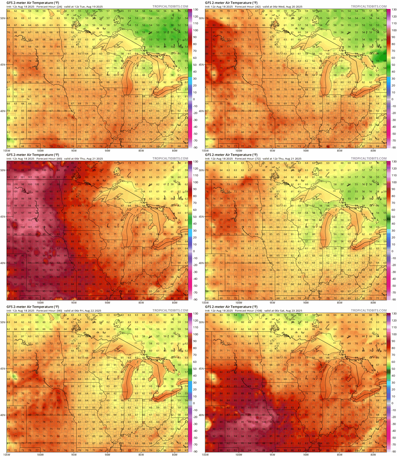
Temperatures this week will stay seasonal, ranging from the upper 70s to low 80s. Western and southwestern Minnesota may experience slightly warmer conditions on Tuesday and Wednesday. Dew points will remain elevated in the muggy range, with readings in the 60s.