
Surface high pressure brings drier, calmer weather
Much cooler air arrives this weekend
Go Deeper.
Create an account or log in to save stories.
Like this?
Thanks for liking this story! We have added it to a list of your favorite stories.


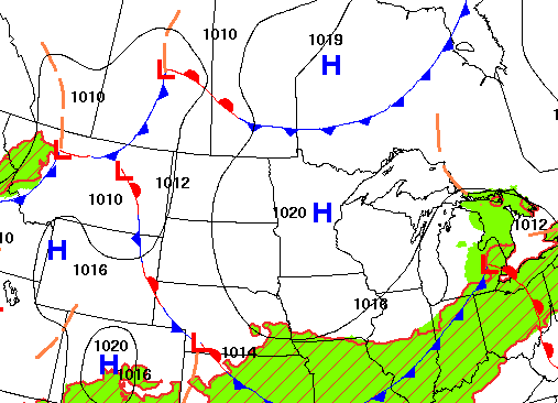
High pressure is bringing sunshine and dry weather after some early fog. Temperatures will be above normal through Thursday, but much cooler air arrives this weekend.
High pressure brings sun, light winds, dry weather
After Tuesday morning fog and low clouds burn off in many areas, we’ll see plenty of sunshine and light winds all thanks to a surface area of high pressure moving into Minnesota. Afternoon highs will still be above normal — in the 80s south and west with 70s northeast.

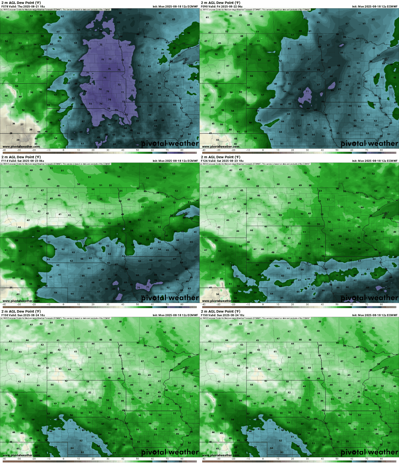
It will also still be fairly muggy the next few days with dew points mostly in the 60s and even low 70s at times in southwest Minnesota.
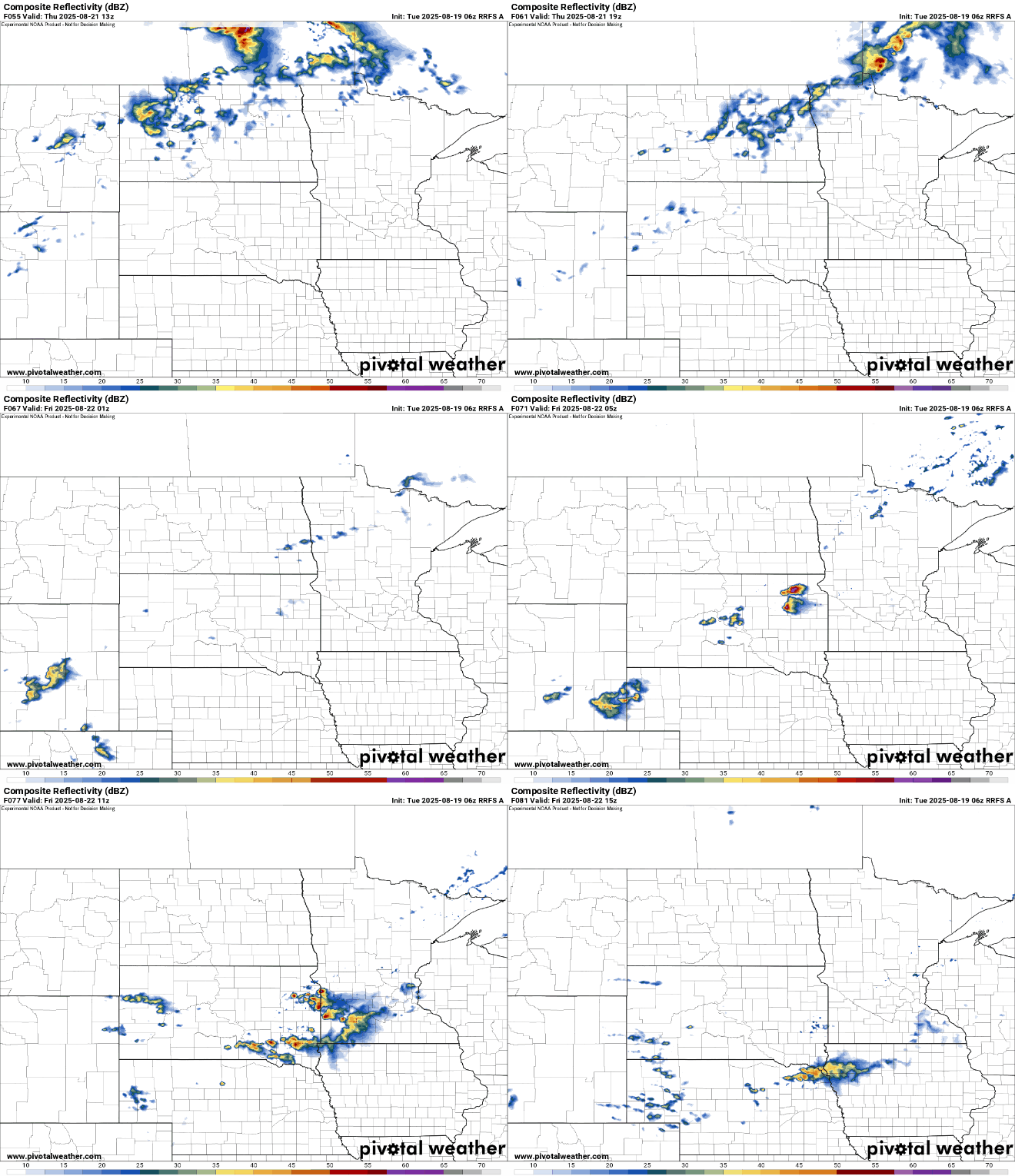
A potent cool front moves in Thursday night that will develop some scattered showers but also bring a big drop in temperatures and dew points.
By the weekend, dew points will drop from the 60s and 70s into the 50s and 40s which is a more fall-like air mass.
Temperatures will be cooler than normal this weekend, especially by Sunday when we may struggle to reach 70 degrees even in southern Minnesota. We’ll have plenty of sunshine both Saturday and Sunday.

Overnights will be cool Saturday and Sunday nights with widespread 40s in central and northern Minnesota and maybe just low 50s even in the urban heat island core of the Twin Cities.

Turn Up Your Support
MPR News helps you turn down the noise and build shared understanding. Turn up your support for this public resource and keep trusted journalism accessible to all.

