
Significant cold front swinging through Minnesota Friday
Coolest August air in 7 years moves in for the weekend
Go Deeper.
Create an account or log in to save stories.
Like this?
Thanks for liking this story! We have added it to a list of your favorite stories.


We’ll see some spotty to scattered showers and a few thunderstorms as a potent cold front swings through the state. Temperatures will not reach 70 degrees on Sunday.
Significant cold front brings some showers, much cooler air
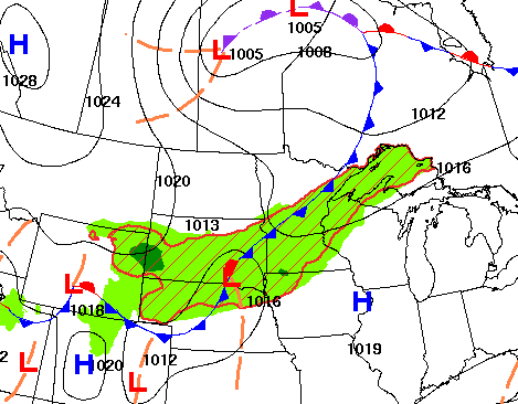
We’ll see some spotty to scattered showers and thunder at times Friday along and ahead of a significant cold front sweeping across Minnesota during the day and into tonight, particularly midday and into the afternoon for east-central Minnesota, including the Twin Cities area.
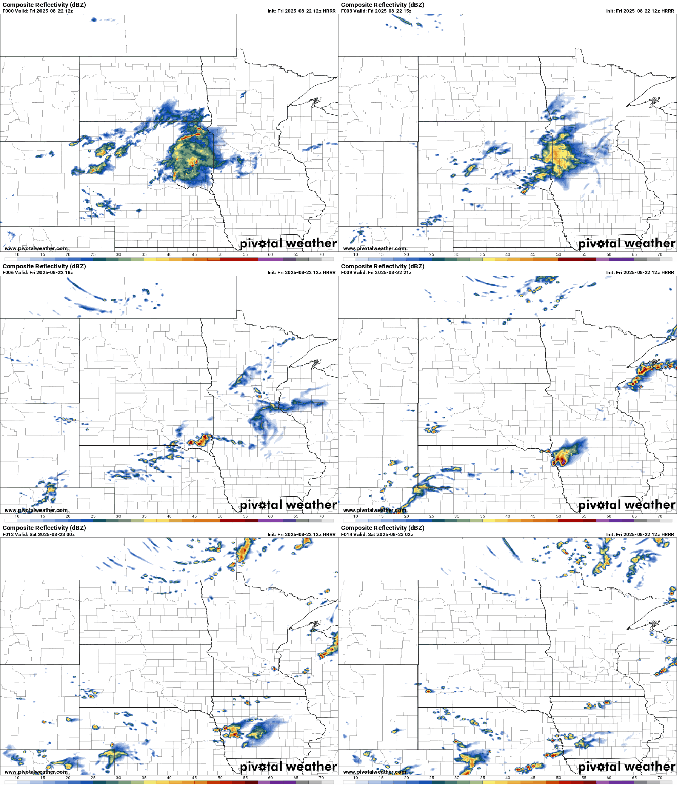
Most rainfall will be modest and there’s just a marginal risk (level 1 of 5) of an isolated severe thunderstorm. One or two thunderstorms could produce some large hail.

It will still be warm and muggy with a mix of clouds and sunshine Friday. Highs will be mostly in the upper 70s and dew points in central and southern Minnesota will still be in the muggy 60s much of the day.
Turn Up Your Support
MPR News helps you turn down the noise and build shared understanding. Turn up your support for this public resource and keep trusted journalism accessible to all.

Temperatures Friday night will already be much cooler in northern Minnesota with low 50s there to near 60 degrees in the Twin Cities.
Saturday and Sunday will bring some late September-like high temperatures. We’ll probably manage a high in the low 70s Saturday in southern Minnesota still, but Sunday will most of the state won’t even reach 70 degrees. That’ll be the coolest August air in seven years!

The cool Sunday will set us up for a chilly Sunday night into early Monday morning. Lows will be in the 40s for most with 30s on parts of the Iron Range.

Temperatures rebound slowly next week into the upper 70s by late next week, which by then is about average for the southern half of the state. There’s little or no additional rainfall forecast after today in the next seven to 10 days.

