
Cool and calm tonight, staying chilly tomorrow
Winds diminish overnight, return Sunday

Go Deeper.
Create an account or log in to save stories.
Like this?
Thanks for liking this story! We have added it to a list of your favorite stories.


After a breezy Saturday, winds are finally beginning to ease across the region. Northwest winds are gradually diminishing this evening. As clouds continue to break up overnight, temperatures will slip into cooler territory.
Clouds and winds diminish
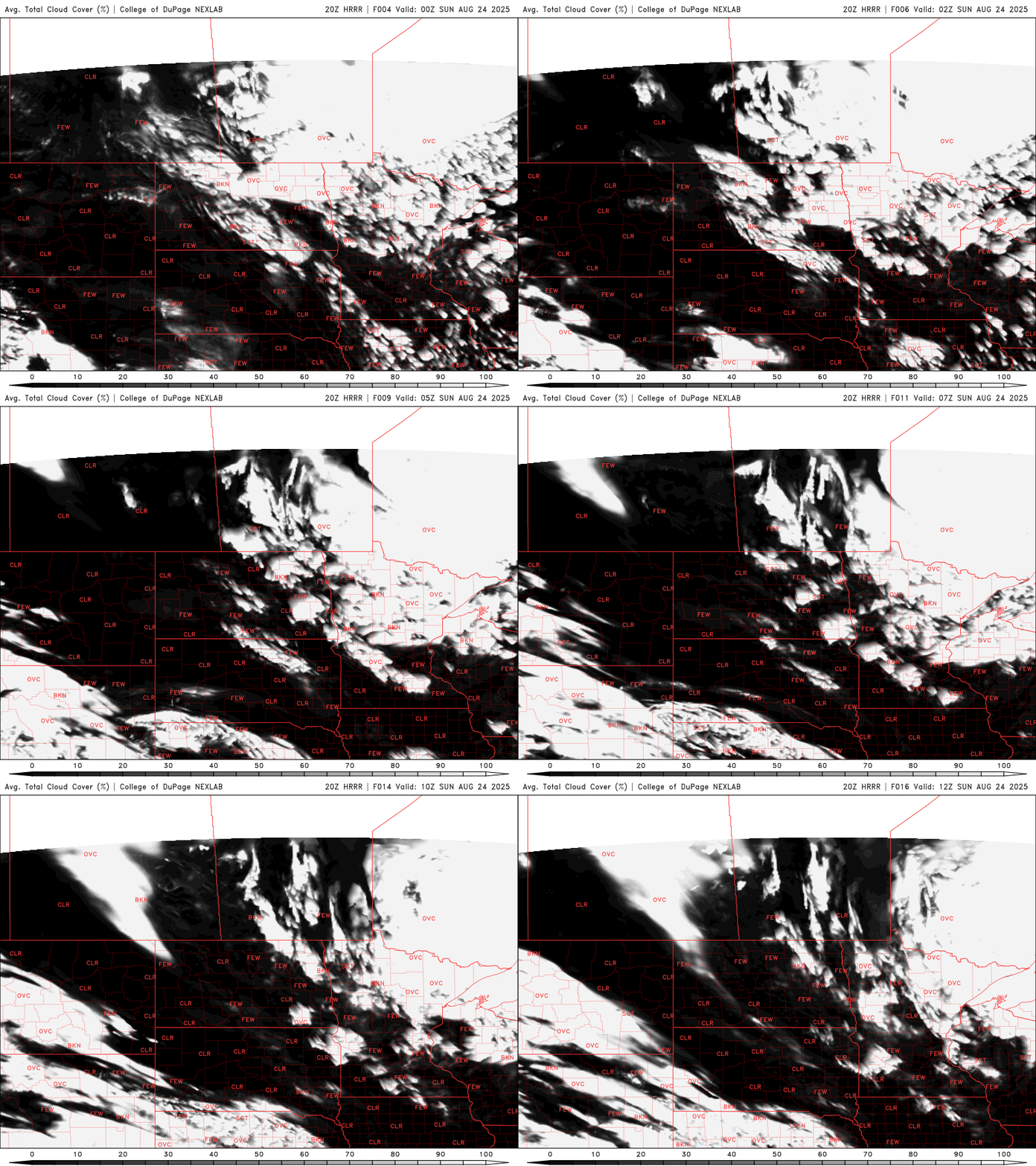
Our cooler, fall-like airmass will continue to bring comfortable conditions across the Midwest. While winds were a bit brisk earlier on Saturday, they’ve begun to settle down and are expected to diminish further through the overnight hours. At the same time, cloud cover will be clearing up, leading to clearer skies by early Sunday morning.
Overnight lows will dip into the mid to upper 40s across northern Minnesota, with temperatures ranging from the upper 40s to around 50 degrees elsewhere. The metro area will remain a bit warmer, holding in the mid-50s, thanks to the urban heat island effect.
High temperatures on Sunday will be a few degrees cooler than Saturday, reaching the mid to upper 60s across much of the region. The Arrowhead area will be chillier, with highs in the 50s, while southwestern Minnesota may still see some upper 60s.

Lows will drop further on Monday and Tuesday mornings as a Canadian high-pressure system moves directly overhead. With clear skies and calm winds, areas of patchy frost may develop across northern Minnesota.

Our stretch of cooler, dry weather is set to continue into next week, with highs climbing into the 70s. Dew points will remain comfortably low in the 40s and 50s, accompanied by plenty of sunshine.
Turn Up Your Support
MPR News helps you turn down the noise and build shared understanding. Turn up your support for this public resource and keep trusted journalism accessible to all.

