Fall-like chill settles in for the weekend; blustery northwest winds
Unseasonably cool with highs 10-15 degrees below average

Go Deeper.
Create an account or log in to save stories.
Like this?
Thanks for liking this story! We have added it to a list of your favorite stories.


Unseasonably cool air settles in this weekend from Canada, sending temperatures 10–15 degrees below normal. Blustery northwest winds at 5–15 mph will add a noticeable chill.
Cool fall-like weather
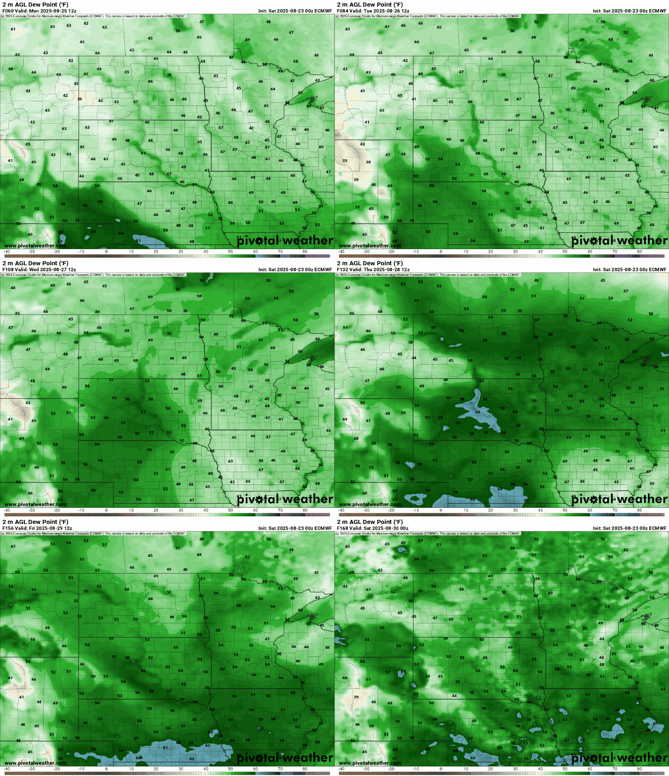
Friday’s cold front sent dew points plunging into the 50s. We can expect those comfortable dew points to remain in the 50s, with some spots even dipping into the 40s during the last week of August.
Our cooler Canadian air mass will keep temperatures from reaching the 70s this weekend. Saturday’s highs are expected to be in the mid to upper 60s for central and southern Minnesota, with lows to mid-60s across the northern regions.
Turn Up Your Support
MPR News helps you turn down the noise and build shared understanding. Turn up your support for this public resource and keep trusted journalism accessible to all.

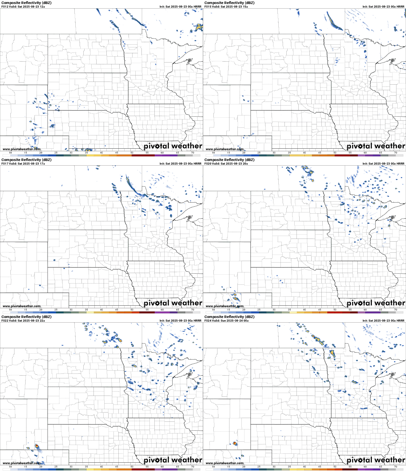
With cooler air aloft, some isolated instability sprinkles are possible during peak daytime heating. Fair weather cumulus clouds will also develop, bringing a chance of sprinkles into the early evening hours.
Sunday’s forecast calls for more of the same, with highs in the mid-60s across the metro area, cool upper 50s in the Arrowhead, and slightly warmer highs near 70 in the southwestern corner.

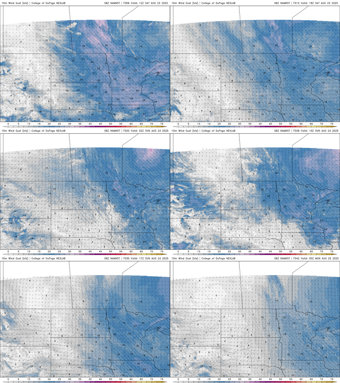
Ahead of the high-pressure system, winds will be blustery out of the northwest throughout the weekend, ranging from 5 to 15 mph with gusts into the 20s.