
Breezy and cooler with increasing cloud cover
Fall-like feel lingers early this week
Go Deeper.
Create an account or log in to save stories.
Like this?
Thanks for liking this story! We have added it to a list of your favorite stories.


Cooler temperatures, increasing clouds, and brisk northwest winds keep summer on pause through mid-week. A dome of cool Canadian high pressure continues to settle into the Upper Midwest, reinforcing the unseasonably cool pattern. While a few weak disturbances may spark brief sprinkles in spots, overall precipitation chances remain limited as this high-pressure system holds strong.
Fall-like trend
Our cool Canadian high pressure system is slowly taking control, but the lingering effects of an upper-level low near Hudson Bay will continue to influence our weather today across Minnesota into western Wisconsin.

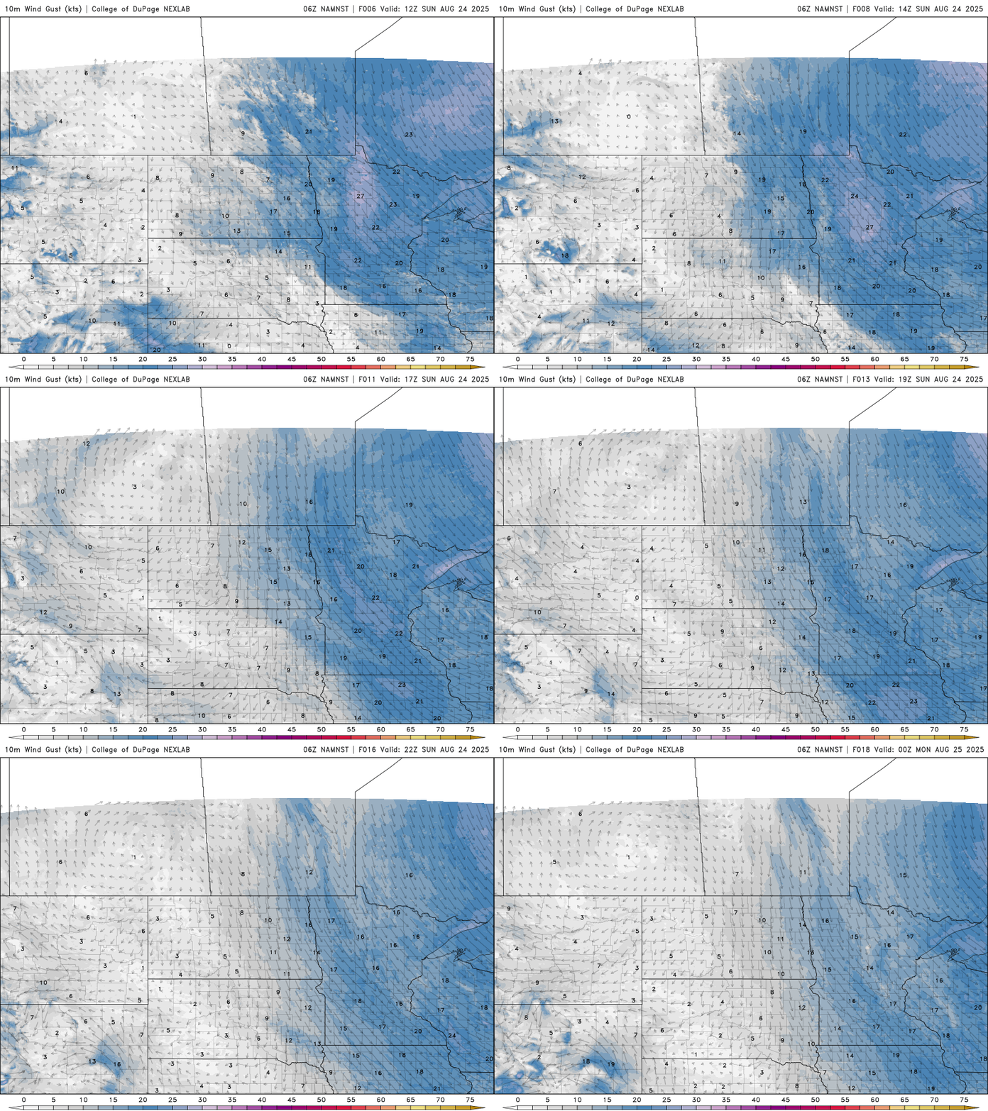
Northwest winds will once again ramp up through the day, with gusts reaching into the 20s.
Turn Up Your Support
MPR News helps you turn down the noise and build shared understanding. Turn up your support for this public resource and keep trusted journalism accessible to all.
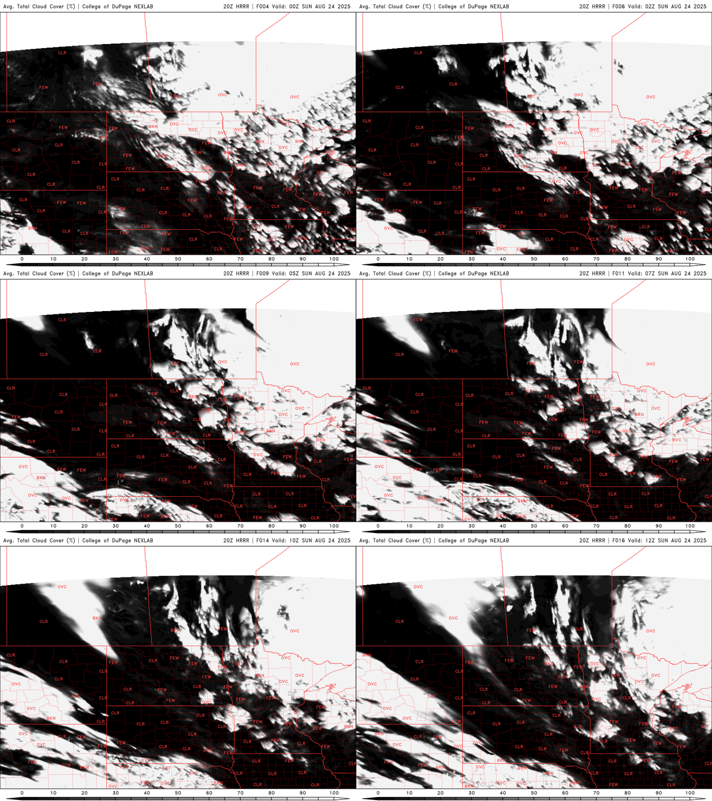
We’ll see more of those gray, stubborn stratus and stratocumulus clouds developing into the late morning and early afternoon. Some areas may even see a few light, on-and-off sprinkles or showers, though any precipitation will be brief and barely measurable.
Temperatures on Sunday will continue to trend cooler, with highs ranging from the low to mid-60s across much of the region. Southern areas may reach the low 70s, while the Arrowhead region stays noticeably cooler, with highs only in the 50s.

As high pressure settles overhead Sunday night into Monday morning, skies will clear and winds will calm, setting the stage for some of the coolest overnight temperatures of the season.

A frost advisory is in effect for northern St. Louis, Lake, Cook, and Koochiching counties from 2 a.m. to 8 a.m. Monday.

Looking ahead to the rest of the week, temperatures will gradually climb back to near our average highs around 80 degrees by Thursday. Dew points will stay comfortable in the 40s and 50s through midweek, with a bit more humidity creeping back by Thursday as 60-degree dew points return to southern Minnesota.

