
Chilly night ahead with frost likely in the Northland
A quiet, comfortable week ahead

Go Deeper.
Create an account or log in to save stories.
Like this?
Thanks for liking this story! We have added it to a list of your favorite stories.


A cool Canadian air mass will keep conditions quiet and crisp to start the week. Overnight lows will fall into the 40s under clear skies, with this cooler, calm stretch continuing through the end of August.
A quiet, comfortable week ahead
High pressure will continue building across the region, bringing calm winds, plenty of sunshine, and a slow but steady warm-up through the week.
Sunday night will feature some of the chilliest temperatures we’ve seen this season. Most of the state will drop into the 40s.
Turn Up Your Support
MPR News helps you turn down the noise and build shared understanding. Turn up your support for this public resource and keep trusted journalism accessible to all.

Temperatures across the Northland will drop into the 30s tonight, raising concerns for patchy frost in the region.
A frost advisory is in effect from 2 a.m. to 8 a.m. Monday for Koochiching, northern and central St. Louis, Lake, and Cook counties.

By midweek, the high pressure center will shift southeast into the Ohio Valley, allowing for return flow to develop on the backside of the high. This means a gentle warming trend is in store, with highs reaching the mid to upper 70s and lows in the 50s from Wednesday through Sunday.
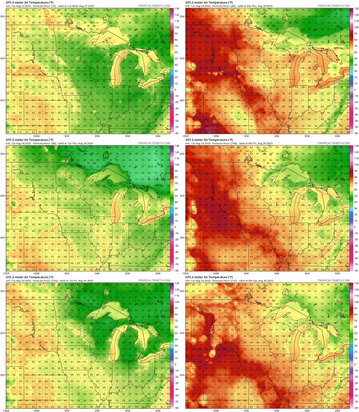
Dew points will remain comfortable, generally in the 40s and 50s, though southern Minnesota may start to feel a slight uptick in humidity by late week.
Come see your MPR News weather team this Wednesday at 12 p.m. at the Minnesota State Fair! Stop by to say hi, ask your weather questions, and catch some live updates. We’d love to see you there!

