
A bit warmer Tuesday as high pressure slides southeast
Wednesday may bring a few showers to northeast Minnesota

Go Deeper.
Create an account or log in to save stories.
Like this?
Thanks for liking this story! We have added it to a list of your favorite stories.


Temperatures are gradually warming today and tomorrow as high pressure shifts southeast, bringing milder southwest winds. A few scattered showers may develop in northeast Minnesota by Wednesday.
Gradually warm-up early this week
Cooler air is moving out as high pressure shifts east. In its wake, southwest winds are bringing in warmer air through midweek. Some areas may see light sprinkles in the morning, but skies will clear by afternoon. Highs today will reach the mid-70s for most, with temperatures near 80° possible in the Red River Valley.

Afternoon highs tomorrow could be close to 80-degrees across portions of southern and western Minnesota which would be near-normal for the date.

A 'back door' cold front—moving in from Ontario—may trigger scattered showers late Wednesday, mainly in northeast Minnesota and parts of western Wisconsin.
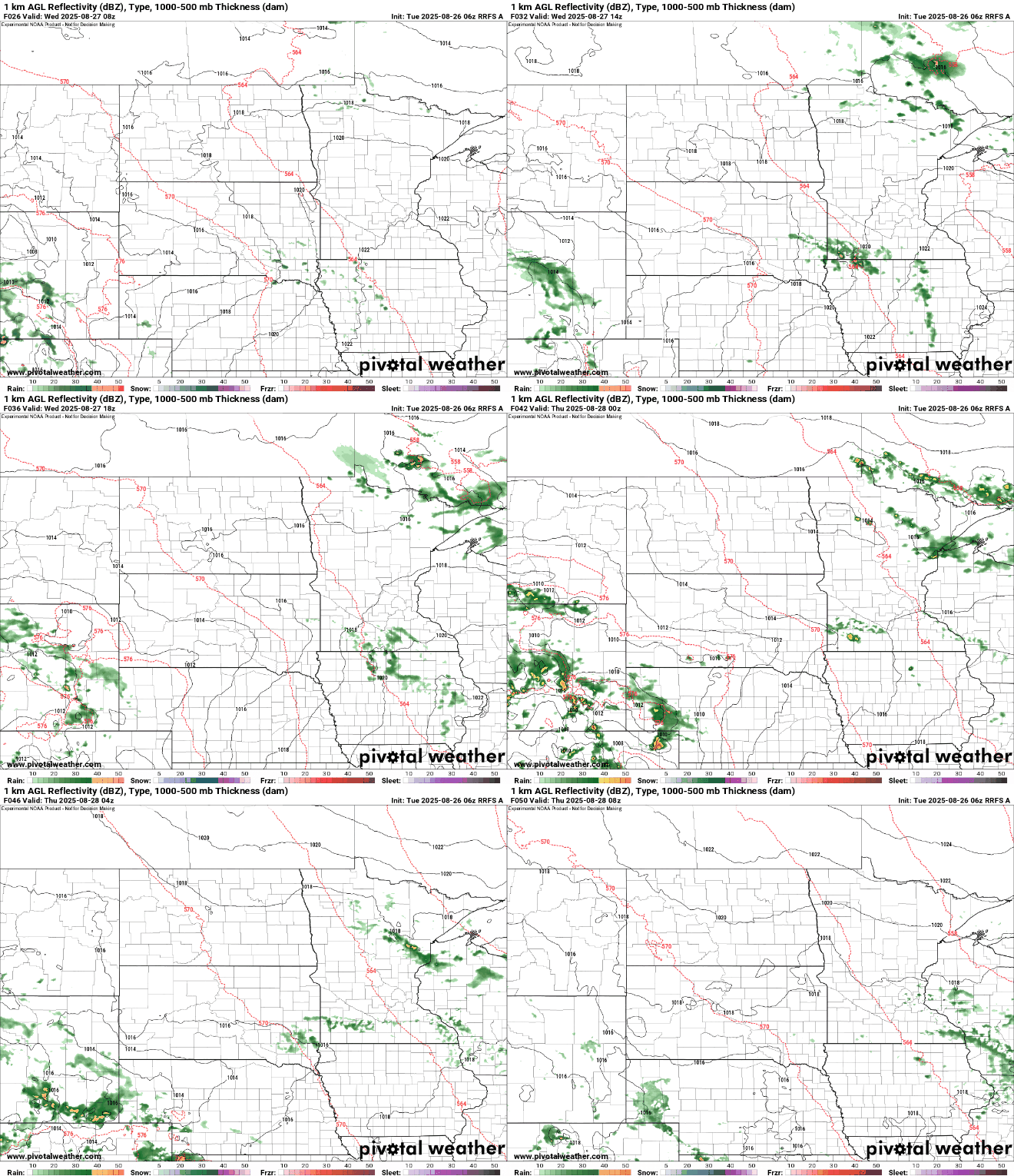
Behind that front, temperatures will dip slightly Thursday and Friday—expect highs in the mid-70s in the south and upper 60s in the northeast.

That means a couple more chilly nights, especially up north yet again Thursday night and Friday night. 30s will again be likely in portions of northeast Minnesota.

The overall pattern remains mostly dry through early next week, with only isolated chances for rain returning later in the weekend.

Turn Up Your Support
MPR News helps you turn down the noise and build shared understanding. Turn up your support for this public resource and keep trusted journalism accessible to all.

