
Seasonable temps; monitoring a slow-moving weekend system
Next week could be cool again midweek

Go Deeper.
Create an account or log in to save stories.
Like this?
Thanks for liking this story! We have added it to a list of your favorite stories.


Temperatures will be near-normal south and west but cooler in northeast Minnesota. An isolated shower or two is possible Thursday and Friday, especially west and south.
Pleasant and seasonable ahead of the holiday weekend
Areas of fog this morning will burn off. The fog was very visible on satellite imagery this morning in all the regional river valleys. The fog looks like white veins in the river valleys.
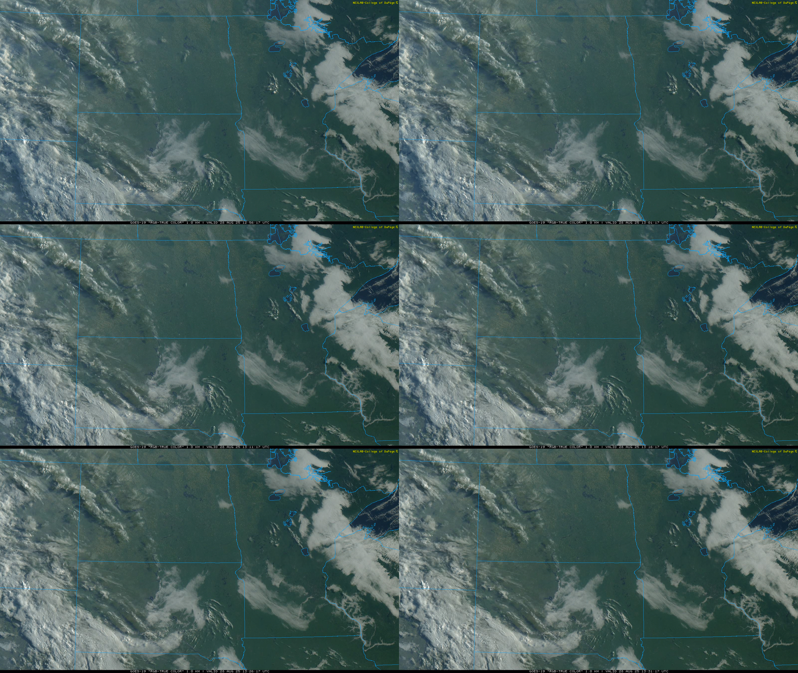
It’ll be a pretty seasonable day with afternoon highs near-normal for most of southern and western Minnesota. Northeast Minnesota will be cooler Thursday behind last night’s ‘back door’ cool front.

It will also be a bit muggy, with dew points in the low 60s, still across central and southern Minnesota through the morning before drier air moves in from the northeast.
Turn Up Your Support
MPR News helps you turn down the noise and build shared understanding. Turn up your support for this public resource and keep trusted journalism accessible to all.
This lingering moisture and instability could touch off a couple of isolated showers in especially western and southern Minnesota Thursday afternoon into the overnight. A similar scenario could play out Friday afternoon too.
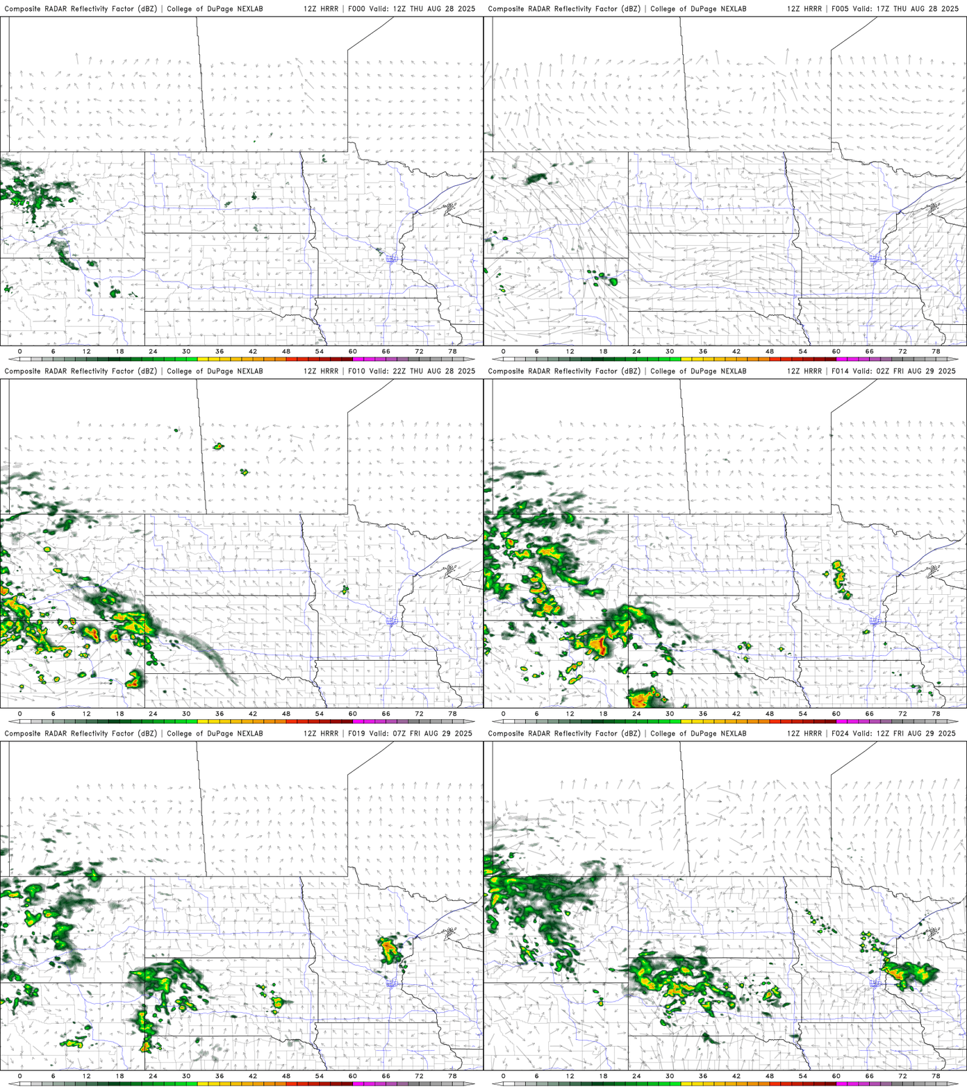
Most will see a mild overnight but northeast Minnesota will be cooler, under the influence of cooler and dry northeast winds. Temps will be in the 40s with even some upper 30s possible on the Iron Range into early Friday morning.

Highs Friday will be similar, in the upper 70s to near 80 in northwest Minnesota with cooler conditions near the North Shore of Lake Superior.

The weekend looks to bring mostly pleasant temperatures, in the upper 70s to near 80-degrees for some through Labor Day Monday. It will occasionally be a bit ‘sticky’ at times with low 60s dew points south and west.

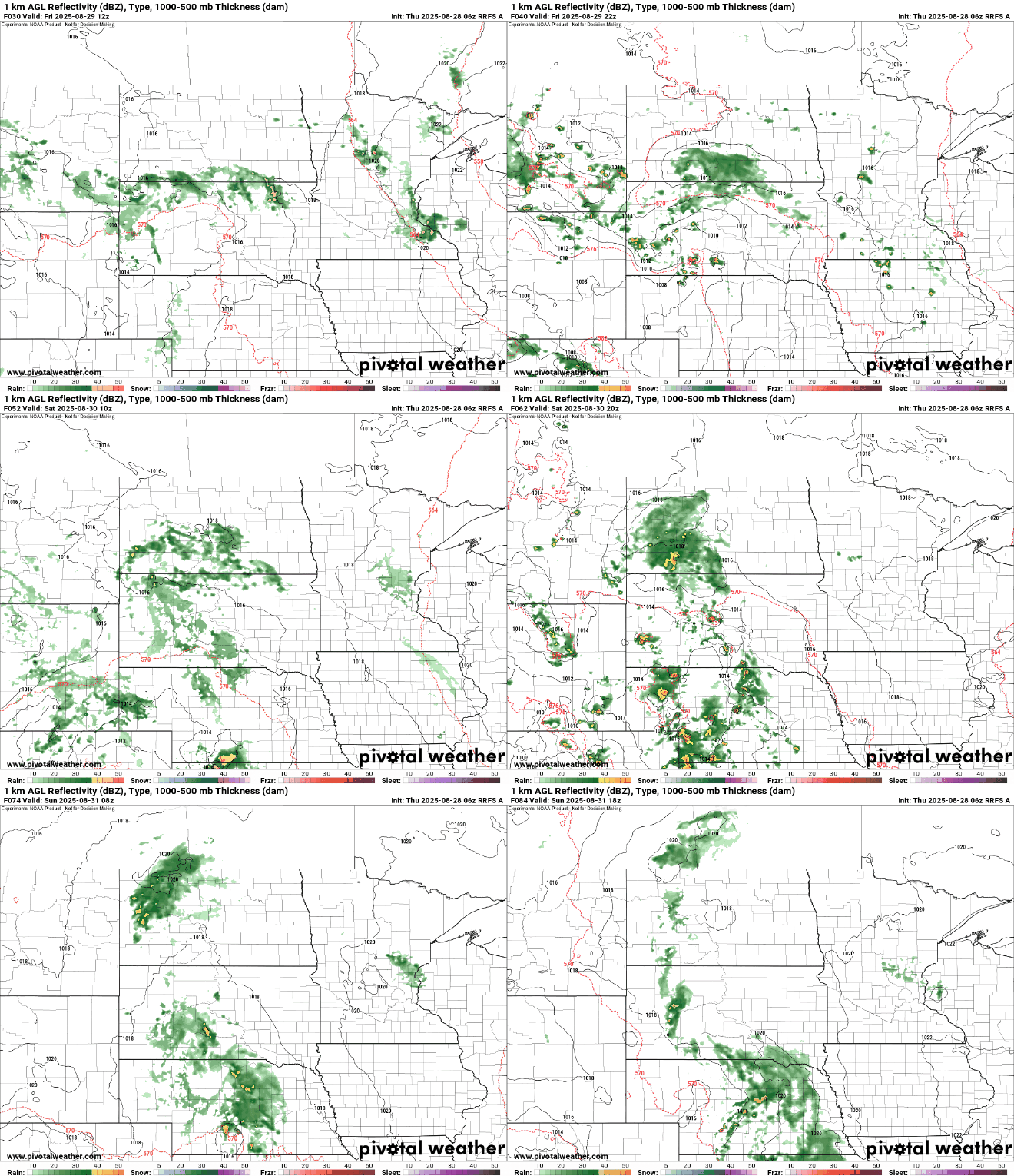
We’re also watching a slow-moving system in the Dakotas that will attempt to produce some occasional clouds and showers in at least western Minnesota and potentially eastern Minnesota. The forecast models have started to trend a bit wetter for western and central Minnesota now.
Beyond the weekend, midweek looks to bring another blast of cool, fall air. Highs by Tuesday and Wednesday could be in the 60s and 50s. It could be our coolest temps yet of this season.

