
Cloudy, foggy kickoff to the holiday weekend
Mild and bright through the long weekend
Go Deeper.
Create an account or log in to save stories.
Like this?
Thanks for liking this story! We have added it to a list of your favorite stories.


Get ready for a classic late-summer holiday weekend. Temperatures will stay close to seasonal averages, warming into the mid to upper 70s, accompanied by plenty of sunshine and dry conditions through Sunday.
Foggy and cloudy start
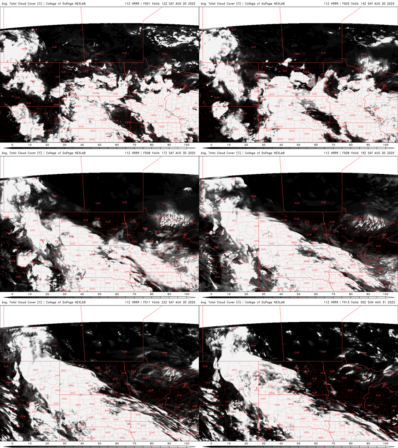
Some low clouds and fog to start our Saturday, but clearer skies and sunshine are on the way by the afternoon.
Temperatures will warm to near seasonal averages, with most of the state seeing highs in the mid to upper 70s. Northwestern Minnesota will be the warm spot today, where highs could climb into the mid to upper 80s under sunny skies.
Turn Up Your Support
MPR News helps you turn down the noise and build shared understanding. Turn up your support for this public resource and keep trusted journalism accessible to all.

Surface high pressure over the Great Lakes region will continue to keep Minnesota dry through the weekend, with any shower activity remaining well to our southwest, mainly confined to parts of South Dakota and northwest Iowa.

As high pressure shifts east on Monday, moisture will begin to return to western Minnesota, bringing a chance for isolated showers.
Big change Tuesday
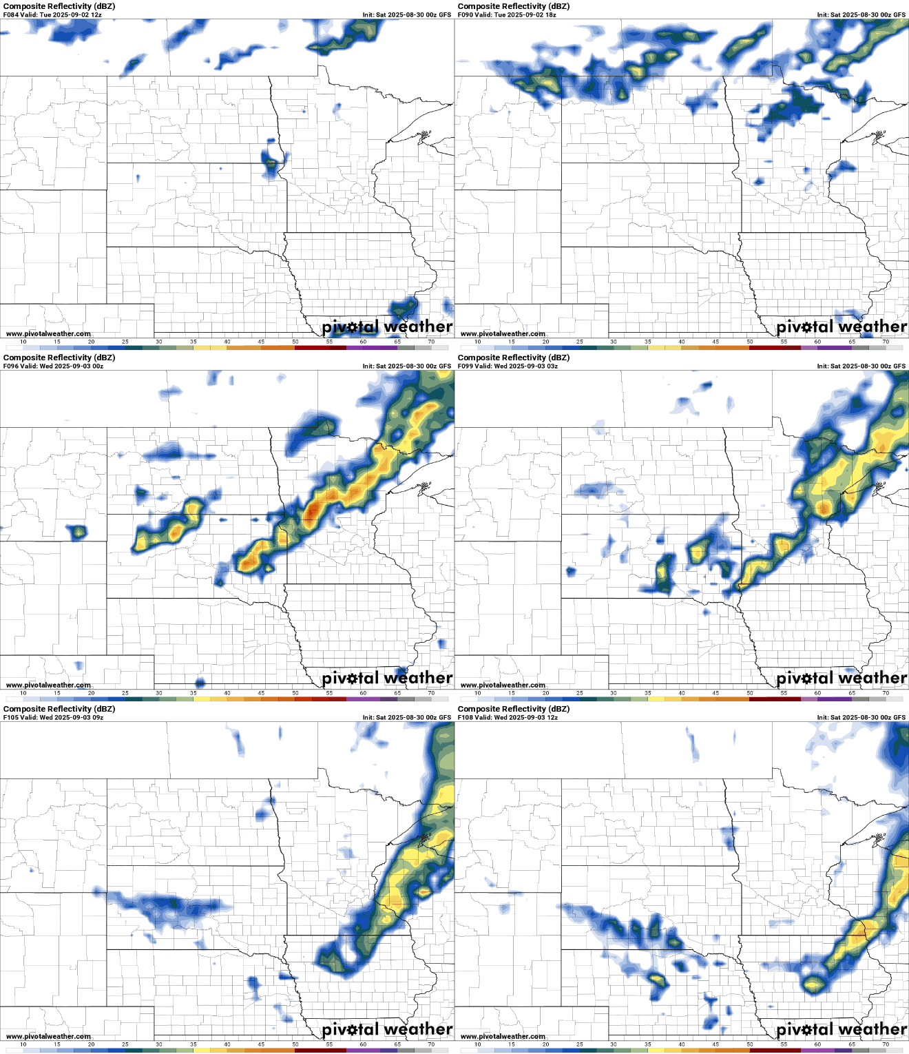
Forecast models are showing a strong cold front moving quickly through the region during Tuesday afternoon and evening. This front could bring a line of showers, but with limited instability, the risk for severe weather is low. Rainfall totals should stay under half an inch.
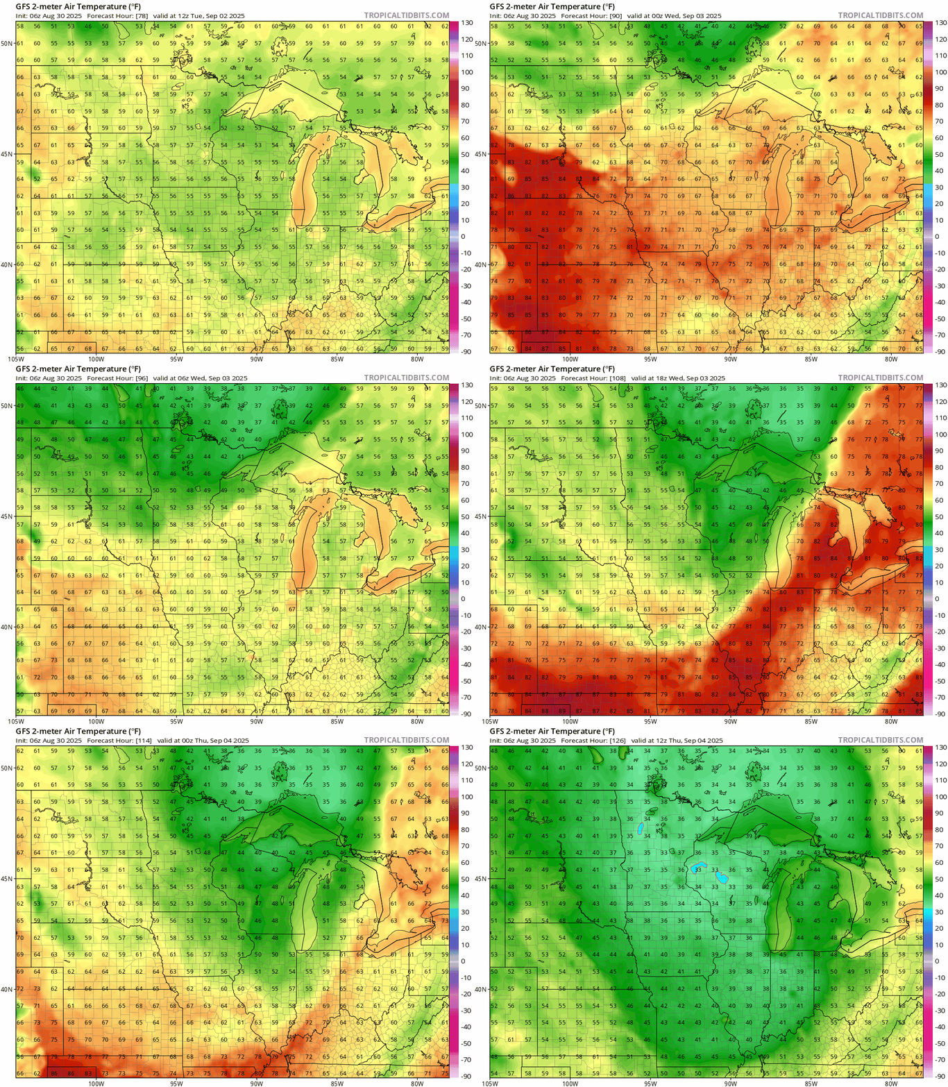
Behind the front, we’re in for a noticeable cooldown. A chilly airmass settles in midweek, with temperatures toping out only in the 50s, nearly 20 degrees below normal.
Dew points will also drop into the upper 30s, leading to some crisp mornings. Some spots could even see morning lows in the 30s if skies clear overnight.
This early taste of fall won’t last long. By next weekend, temperatures are expected to bounce back toward normal. And as we head into the second week of September, patterns look more like what we saw this summer: warmer, more humid, and potentially a bit more active with returning chances for rain.

