
A beautiful end to August; fall changes ahead
Temperatures dive midweek with cold front

Go Deeper.
Create an account or log in to save stories.
Like this?
Thanks for liking this story! We have added it to a list of your favorite stories.


After a perfect end to August, with sunshine and seasonable temperatures, a major pattern shift is on the way. A potent cold front will move through the region late Tuesday, bringing widespread light rain, gusty north-northwest winds, and a sharp drop in temperatures.
Long streak of “perfect” weather
Meteorological summer ends on Sunday, and this season couldn’t be wrapping up on a more perfect note. Seasonable temperatures in the 70s, paired with sunshine and light winds, will carry through Labor Day as high pressure remains anchored over the Great Lakes region.

Clear skies and light winds will carry us through Sunday night, setting the stage for areas of patchy fog to develop by Monday morning. Overnight lows will dip into the mid to upper 50s.
Turn Up Your Support
MPR News helps you turn down the noise and build shared understanding. Turn up your support for this public resource and keep trusted journalism accessible to all.

Midweek fall preview
A potent cold front will swing through late Tuesday afternoon and evening, ushering in breezy north-northwest winds and a distinctly fall-like airmass. Temperatures will drop into the 50s and 60s for daytime highs, with overnight lows falling into the 30s and 40s—some of the coolest air we've seen since May.
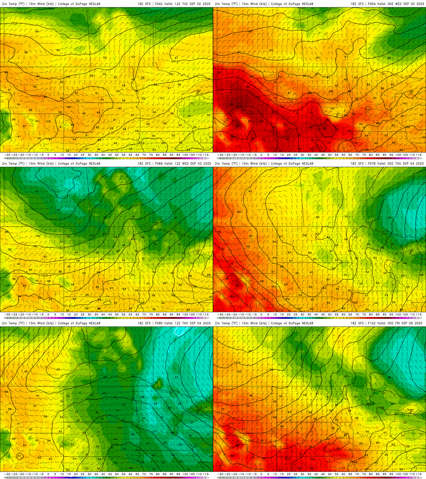
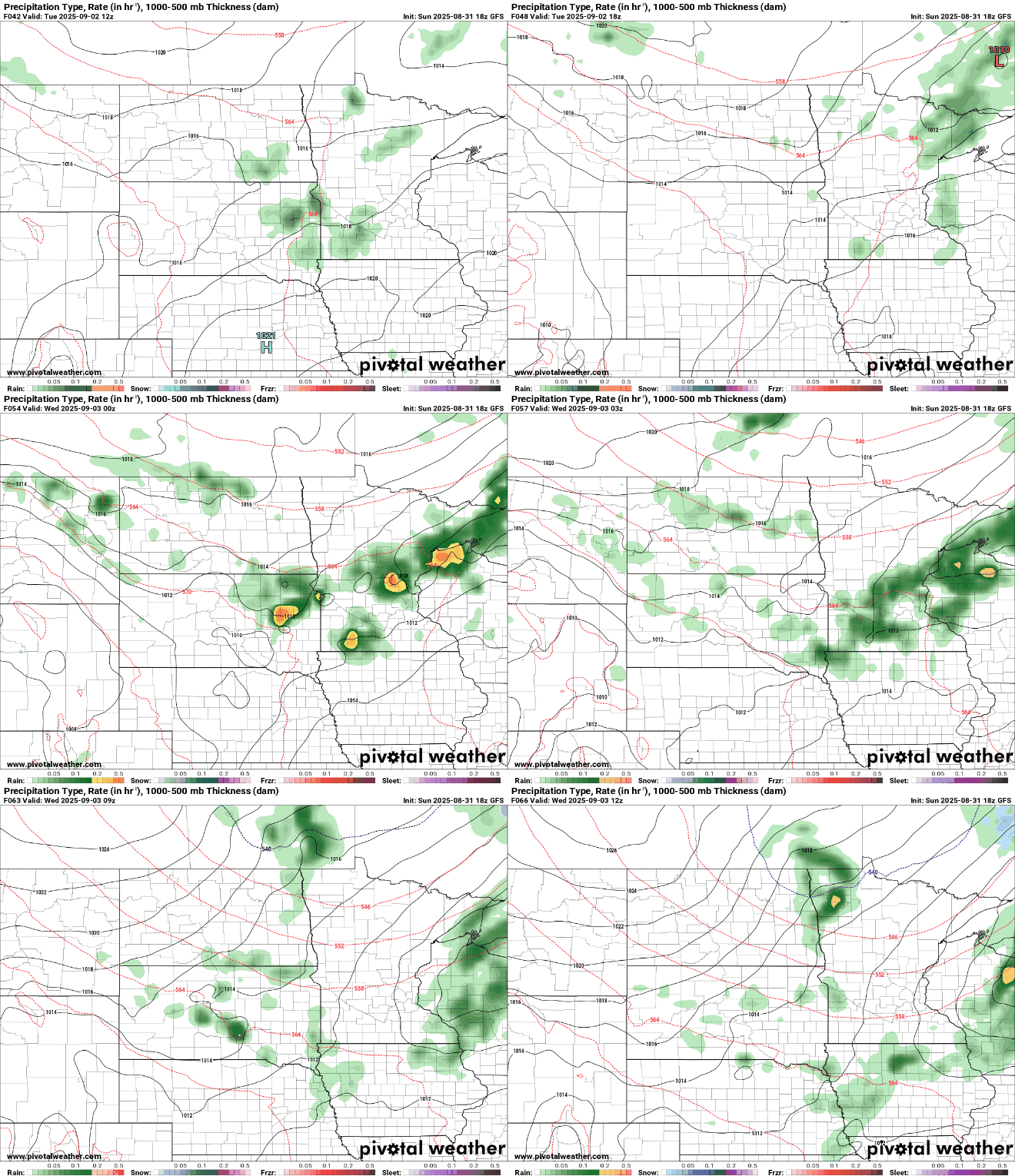
Widespread precipitation is expected with the front; however, rainfall amounts will remain light, generally under half an inch, and no severe weather is anticipated.
Our temperature anomaly map for early Thursday morning shows readings trending more than 20 degrees below normal.
The chill in the air won’t last long, as temperatures gradually rebound into the 60s by late next week and into the weekend.

