
Evening storms ahead of much cooler air tomorrow
Several cooler than normal days ahead
Go Deeper.
Create an account or log in to save stories.
Like this?
Thanks for liking this story! We have added it to a list of your favorite stories.


Scattered showers and storms will move through ahead of a big drop in temperatures. Highs Wednesday will be just in the 60s and 50s. Warmer air returns next week.
Evening storms followed by much cooler air tomorrow
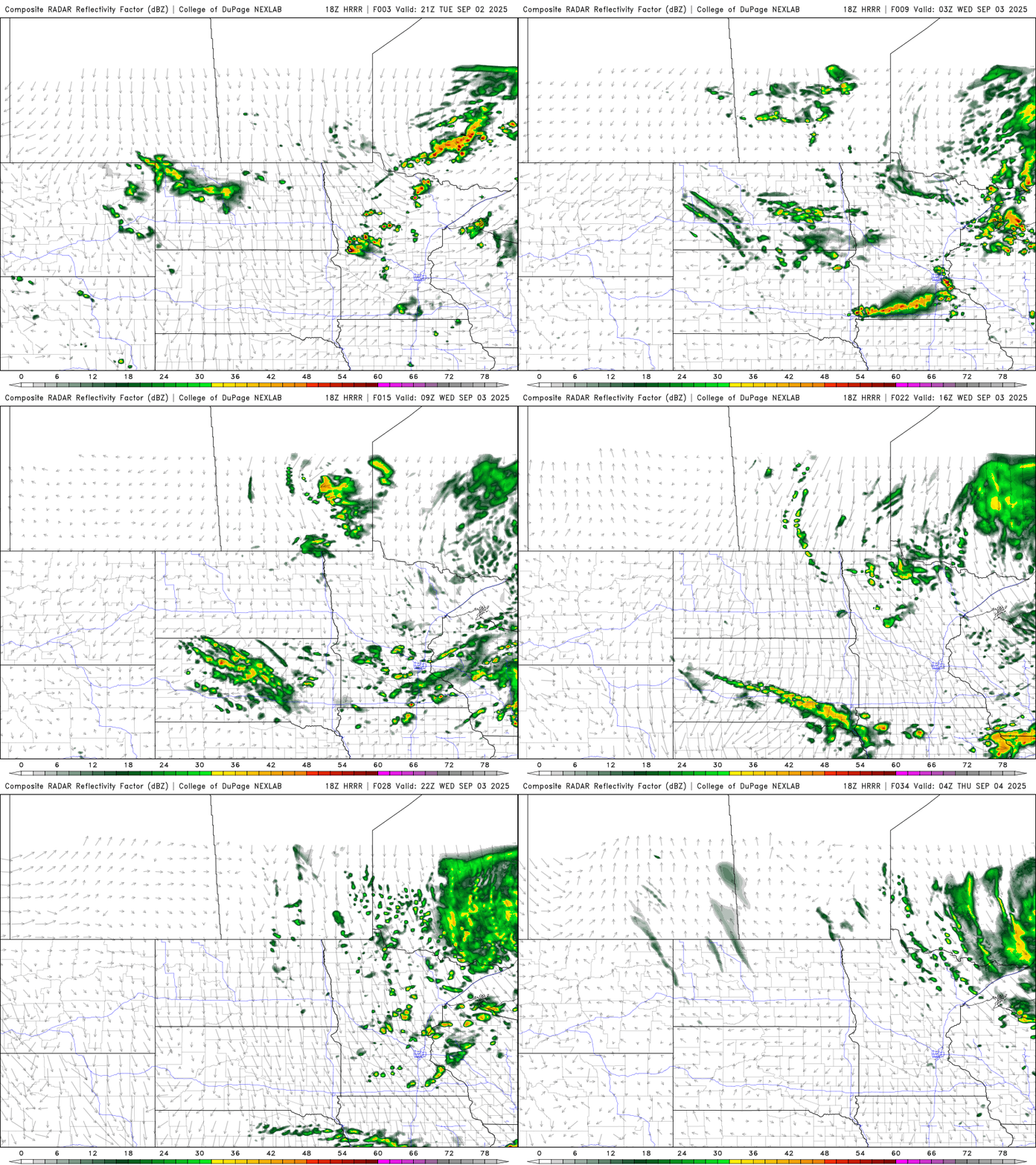
There’s a marginal severe risk (level 1 of 5) for one or two strong storms this evening. Most showers and thunderstorms will be of the garden variety but a couple could produce some large hail or a damaging wind gust.

Storms will continue to develop ahead of a significant cold front sweeping south across the state this evening and overnight. There will be lingering spotty showers for Wednesday, especially in the afternoon and especially in northern Minnesota.
Lows tonight will still be in the 50s across southern Minnesota but northern Minnesota will already see lows in the 40s.
Turn Up Your Support
MPR News helps you turn down the noise and build shared understanding. Turn up your support for this public resource and keep trusted journalism accessible to all.

Highs Wednesday will be in the 60s south to just low 50s in far northern Minnesota. We’ll see a mix of clouds and sunshine along with those spotty showers.

Wednesday night will be our coldest night yet this season with widespread frost possible in northern Minnesota and our first night in the 40s in the Twin Cities officially.

We remain cooler than normal through the weekend but should see sunshine for Saturday and Sunday. Prior to that we’ll see another round of showers late Thursday into Thursday night.
More seasonable temps in the 70s return early next week.

