
Significant cold front brings thunder and much cooler air
Temperatures will be much cooler Wednesday into the weekend
Go Deeper.
Create an account or log in to save stories.
Like this?
Thanks for liking this story! We have added it to a list of your favorite stories.


We’ll have scattered showers and some afternoon and evening thunder ahead of a potent cold front. Much cooler air settles in for Wednesday through Saturday.
Cold front brings thunder chances and much cooler air
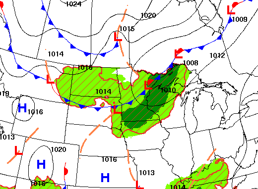
A major cold front is sliding south across Minnesota Tuesday into Tuesday night. Ahead of it we’ll see warm and muggy conditions after some morning showers. Highs will be in the 70s with dew points in the 60s across central and southern Minnesota.

We have some ongoing scattered showers ahead of the front Tuesday morning with storms developing later in the afternoon and evening into the overnight. There will be an afternoon break with some sunshine. Some storms that do develop could be strong.
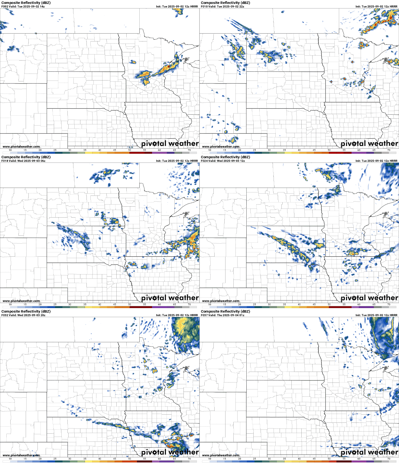
There’s a marginal risk (level 1 of 5) of severe weather across central and southern Minnesota Tuesday afternoon and evening.
Turn Up Your Support
MPR News helps you turn down the noise and build shared understanding. Turn up your support for this public resource and keep trusted journalism accessible to all.

Behind the front, look for much cooler temperatures. Highs Wednesday and Thursday will be just in the low to mid-60s across southern Minnesota with 50s north. There will be a few lingering spotty showers.

Wednesday night will likely bring our coolest readings yet this season with widespread frost across northern Minnesota.

Another chance of showers develops late Thursday into Friday. With the very chilly airmass, the next round of showers Wednesday night and Thursday night it’s possible we could see the first snowflakes on the Gunflint trail! Accumulations are not expected, however.

Temperatures will remain below normal through the weekend with highs mostly in the 60s across southern Minnesota with 50s and low 60s north. Warmer temps in the 70s return early next week.

